
Pixel Plane Day 15 - Sin City
Viva Las Vegas! Also, I nearly get intercepted by F15s.
After enjoying the views from 1Z1 Bar Ten airstrip I'm back underway for another canyon transit. The sun is low and the rock shines orange. I fly southwest, passing over 1G4 Grand Canyon West airport. It looks precarious nestled along the chasm's edge.

In no time I'm flying over Lake Mead, then the glittering Vegas lights appear like an oasis. I'm enveloped in the city's spectacle.

The strip slips past me with its brightly illuminated buildings.

There's air traffic everywhere, red beacons and white strobes pulsing in the night. ATC has me follow a Piper Comanche in for landing.
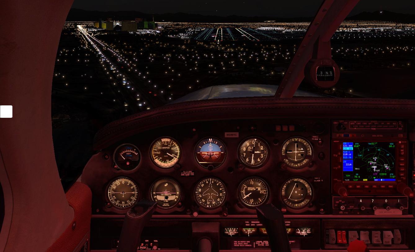
I taxi into the parking area, the Mandalay Bay Casino visible behind me.

I decide that's the first place I'll visit. I'm not much for gambling, but they have a fantastic aquarium. Afterwards I'll walk the strip, get my George Clooney vibe out for the Bellagio, and visit the Pinball Hall of Fame. It's midnight when I head back to the hotel.
The next morning I catch a bit of breakfast and head back to the airport for my departure to KDAG Barstow-Daggett. The first thing I think of when I hear "Daggett" is the robot-dog from Battlestar Galactica, although that one was spelled "daggit". It's sunny with a little bit of wind coming from the east.
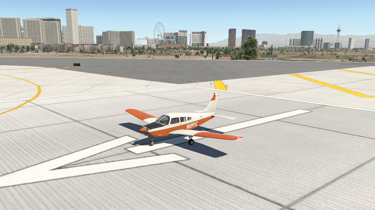
Minutes later I'm in the air with Vegas falling behind me.
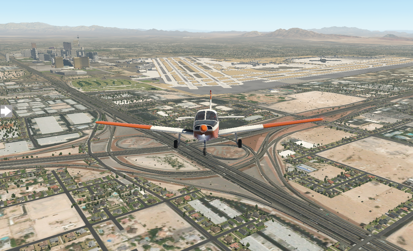
Sandy desert stretches on along the route.

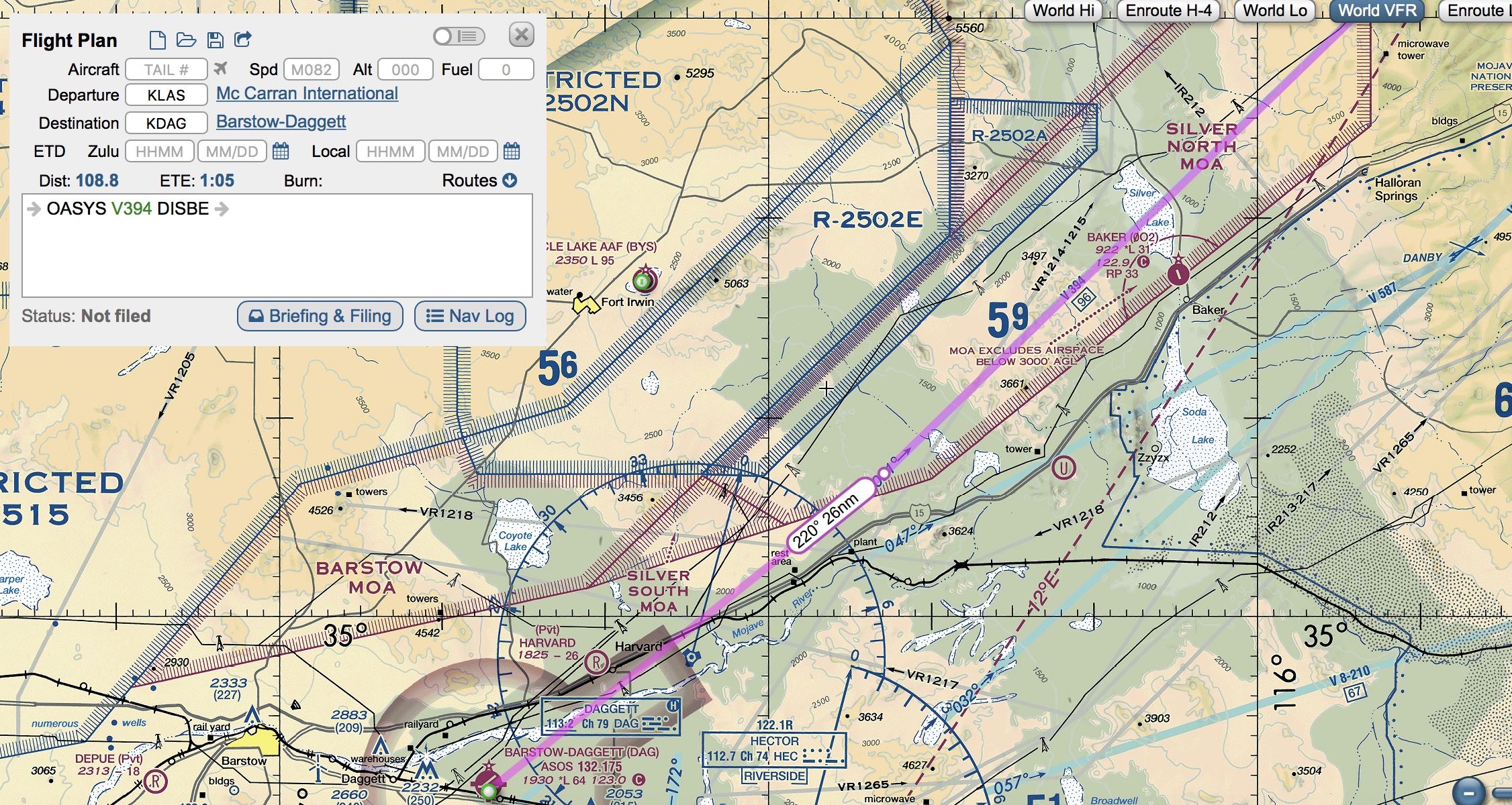
When I worked out my flight plan on SkyVector, it placed me on a straight-forward path via OASYS and DISBE waypoints. In my haste, I missed an import point. It's not until I glance at my Garmin mid-flight that I notice the airspace brackets dead ahead.
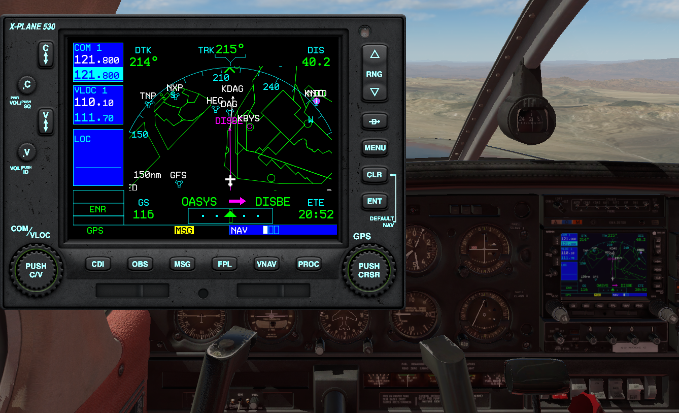
Abruptly I turn ninety degrees to the left. Pulling up the VFR sections, it's restricted military airspace. Fortunately I caught my error before breaching it. Getting intercepted by F15s would be a bad end to this trip. I go around, then catch the KDAG VOR radial and get back on track.
As I close on KDAG, I work on flying a standard pattern. I enter the downwind on the forty-five, line up my wingtip with the runway, work on my altitude and power and turn base. I'm a bit early on my base turn, but I'll get better with practice.
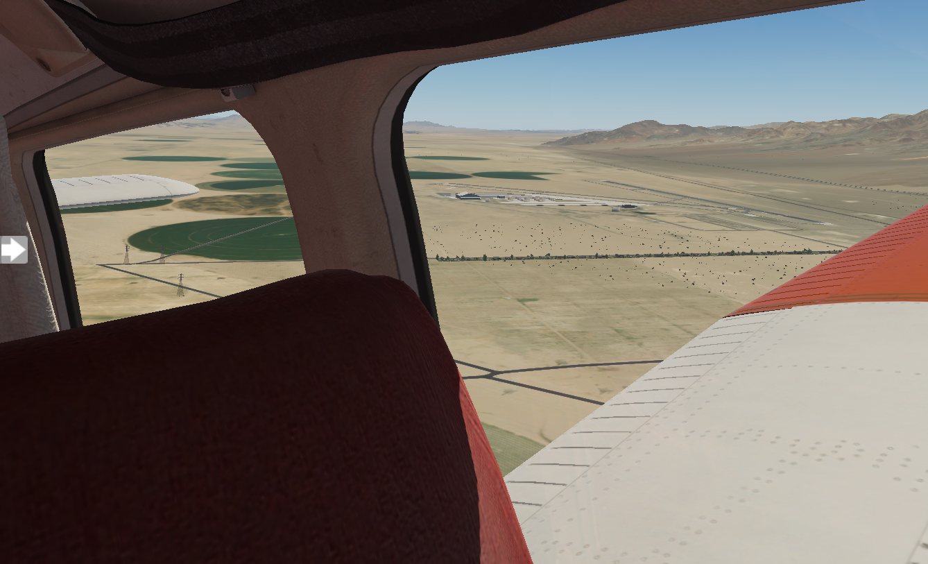
I set down smoothly and exit the runway.

Barstow-Daggett airport is in San Bernanino. I'm curious to explore what's here for the next few hours. I've got another big flight ahead of me near dinner time, Los Angeles International, and I'm a bit nervous.

Pixel Plane Day 14 - A Grand Day Out
Starmen, craters, and canyons.
I'm grabbing a bite at the Northern Pines restaurant in Flagstaff when the fellow next to me at the counter makes some small talk. I tell him about my cross-country adventure and he says, "I suppose you'll be flyin' by the crater, then?"
I squint, thinking.
"You know," the man continues, "the big meteor one. Pretty close. Forty-five minute drive."
I nearly gasp. Meteor Crater, the place where Jeff Bridges gets picked up by his massive silver spaceship in Starman.
My route here took me far north of it. I nearly went on to my next leg without seeing it.
"You betcha," I say to the man, finishing my last bites and tossing my cash onto the counter. I'm back at the airport with my sectionals in hand. I go old-school and pull out a ruler, getting a bearing from Flagstaff, and set up my CDI for the corresponding radial coming from the Flagstaff VOR. Then, I'm in the air. The crater comes into view in twenty minutes.

Next up is KGCN Grand Canyon National Park. The course from Flagstaff is convoluted, due to mountains and restricted airspace blocking the north route. I need to go the long way around.

The views are pretty along the way.

After ninety minutes KGCN comes into view, with the Grand Canyon just beyond it.

When I land here, it's like a party. Planes and people are everywhere, the airport bustling with activity. I chat with a few of the pilots. Everyone's doing VFR flights over the canyon. The interesting thing about sightseeing here is that the FAA has designed the entire airspace over the Grand Canyon as having special rules, and has published a specific VFR sectional map for it. Large swathes of airspace are no-fly zones (at least below 14,500 feet), but there are corridors available with names like Dragon Corridor or Fossil Canyon Corridor. My plan is to fly due west parallel to the restricted space, crossing between Vulcan's Throne and Twin Peaks to the north side of the canyon, landing at 1Z1 Bar Ten airstrip.

I lay out my ruler on the section. Heading 255 will take me due west from KGCN. Peach Springs VOR is just south west of the canyon. If I intercept the 35 degree radial from Peach Springs, I'll be at my turning point. I connect that point to 1Z1 and get a bearing of 330. It's a plan.
It's sunny and clear when I take off from Grand Canyon National Park.

For a while, flying west is a bit disappointing. I can't see the canyon, just stretches of flat rock. Then, my CDI creeps towards center and I know I'm getting close to the Peach Springs 35-degree radial. I turn and fly heading 330. The canyon is upon me, and the view is spectacular.
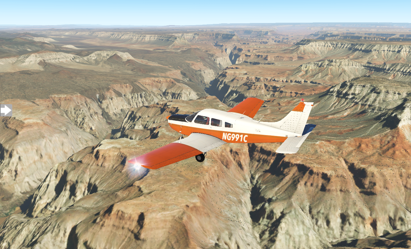

As it falls behind me, I start my search for 1Z1 Bar Ten airstrip. I put the GPS into OBS mode and dial in my desired approach heading on the CDI. Ten miles out, I still don't have the airfield in sight. Five miles. Two miles. I've missed it.

I continue along the same heading for ten miles and turn around, descending. As I get closer, it comes into view.
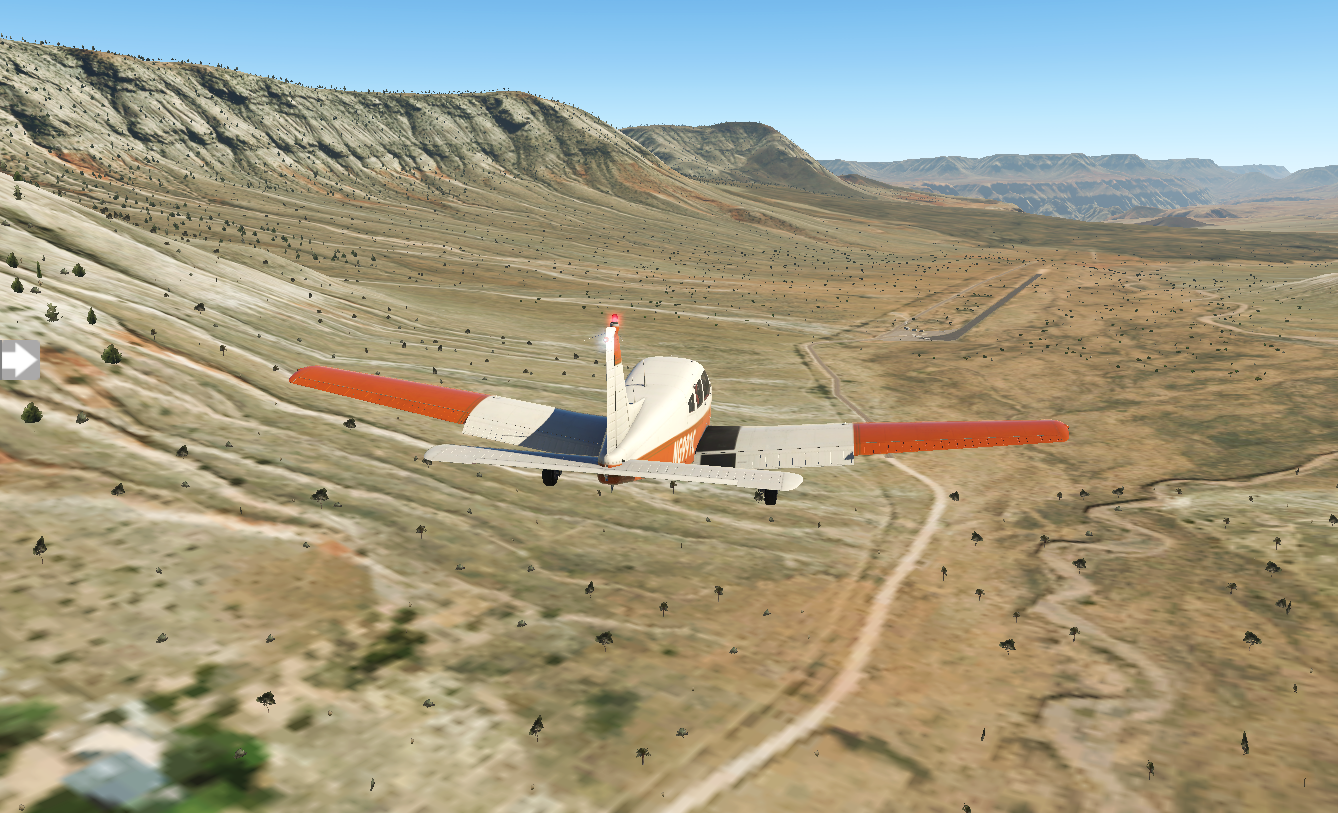
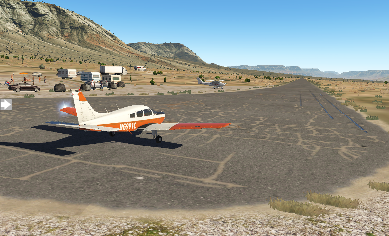
It's a bit intimidating with sloping ground leading to and from the runway, and rock walls flanking it. I descend to the right altitude, but I'm flying way too fast for landing and need to do a go-around. I try again, still at the wrong combination of speed and altitude. Finally, after a fourth attempt, I set it down.
Some of the pilots seem a bit amused as I step out of my plane, but I have the feeling they've all been there before. Music is playing nearby - Van Halen's Jump - and a game of volleyball is in progress just off the ramp. I smell food cooking and my stomach grumbles. I lean against my wing, cross my arms, and just enjoy the view.
Pixel Plane Day 13 - Gallup and Flagstaff
I retrace Walter White’s steps in Albuquerque before flying over an alien landscape.
I decide to spend my time in Albuquerque doing a Breaking Bad tour. I visit Walter White's house and the A1 car wash in Northeast Heights and Tuco's headquarters at Java Joe's on Park Ave. I wrap up at Twisters, the real-life restaurant chain which was Gus Fring's Los Pollos Hermanos. Afterwards I'm back at the airport for departure.
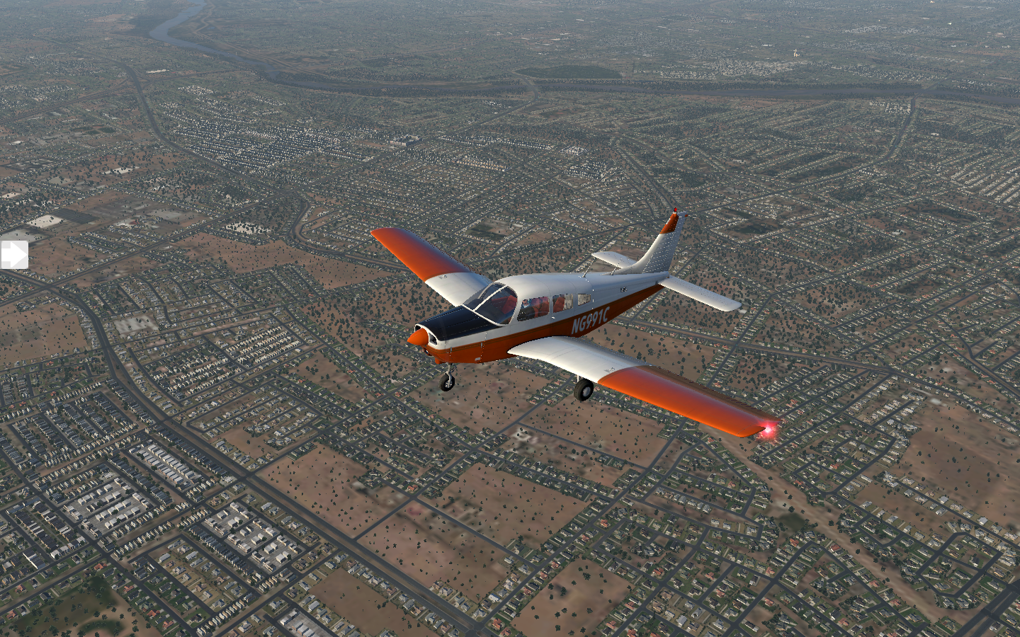
Albuquerque sprawls beneath me as I ascend to cruising altitude.

Rocky landscape and high elevations span the stretch to Gallup.
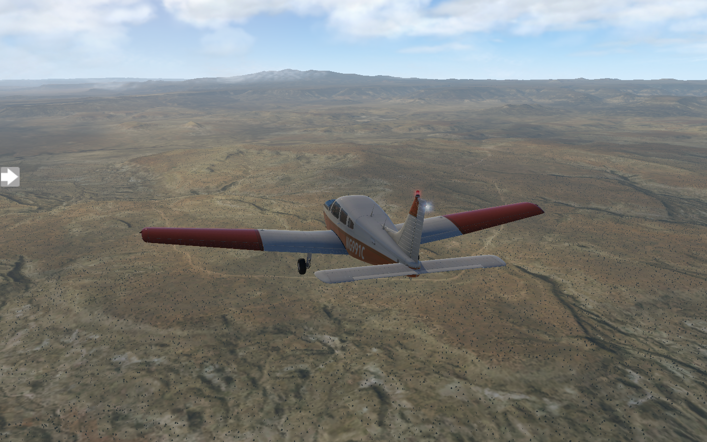
Gallup's airport, KGUP, is a bit of an adventure to navigate to, with trench-like escarpments on both sides.

The sun is getting low and I spend the evening here, visiting the Navajo Code Talker Museum and grabbing dinner at the Route 66 Diner.
I'm happy to see bright sunshine the next morning, but a check of the weather forecast shows some patchy showers in the future. It's a beautiful morning when I takeoff

My trip starts with blue skies, but in no time the rain is upon me. The clouds remain high and visibility is still good, but drops patter on the hull.

I can see the direction of the storm and turn ninety-degrees to my left. In a few minutes, bits of blue sky poke through.

Just like that I'm back in sunlight, gray clouds falling behind me. The landscape is surreal, a mix of powder orange and mustard, and I feel like I'm flying over an alien world.

Ahead clouds hover over Flagstaff, and I know I've got one more bout of rain before landing.

I set down on runway twenty-one.

A sense of mirth overtakes me. Tomorrow I'll fly to KGCN - Grand Canyon National Park. I've flown nearly two-thousand nautical miles to get here. I can't wait to see the sights.
Pixel Plane Day 12 - the Garden of the Gods
A day of sightseeing in Colorado Springs followed by airport-hopping to Albuquerque.
Today I begin my detour around the Rocky Mountains with an early morning departure from Denver International. Colorado Springs is a short 69 nautical mile hop. A scenic approach awaits me as I descend.

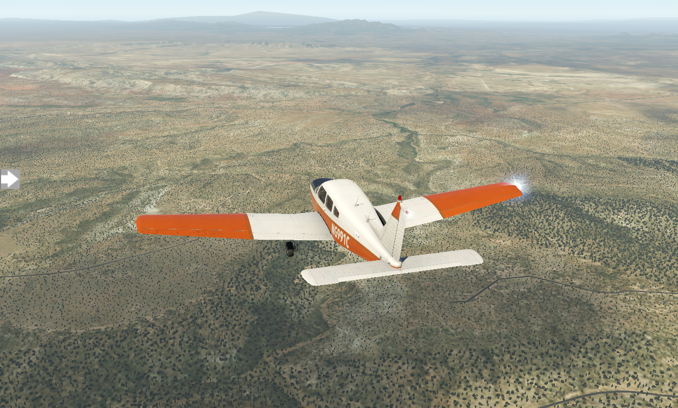
I grab a bite at Marigold Cafe and Bakery before heading off visit the Garden of the Gods. It's a given that I drop by The National Museum of World War II Aviation and the Peterson Air and Space Museum. I could easily spend a few days here, there's so many things I want to explore. - Pike's Peak, Glen Eyrie Castle - but I have a schedule to keep, so I'm back in the air enroute to KPUB Pueblo. The landscape is unearthly, filled with fissures and rock formations along the way.
It's a small general aviation field, and I park and refuel.

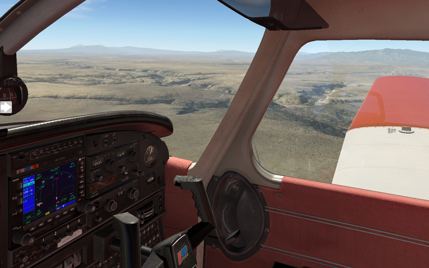
In no time I'm back in the air onwards to KTAD Perry Stokes. After a brief rest here and a bite to eat, I take off for KLVS Las Vegas , New Mexico (not to be confused with Las Vegas, Nevada). I've gotten the hang of setting up NAV2 with my destination and linking the DME to it, displaying remaining distance. The orange glowing digits read 64.4 nautical miles.

The sun is low as I land and I call it a day.

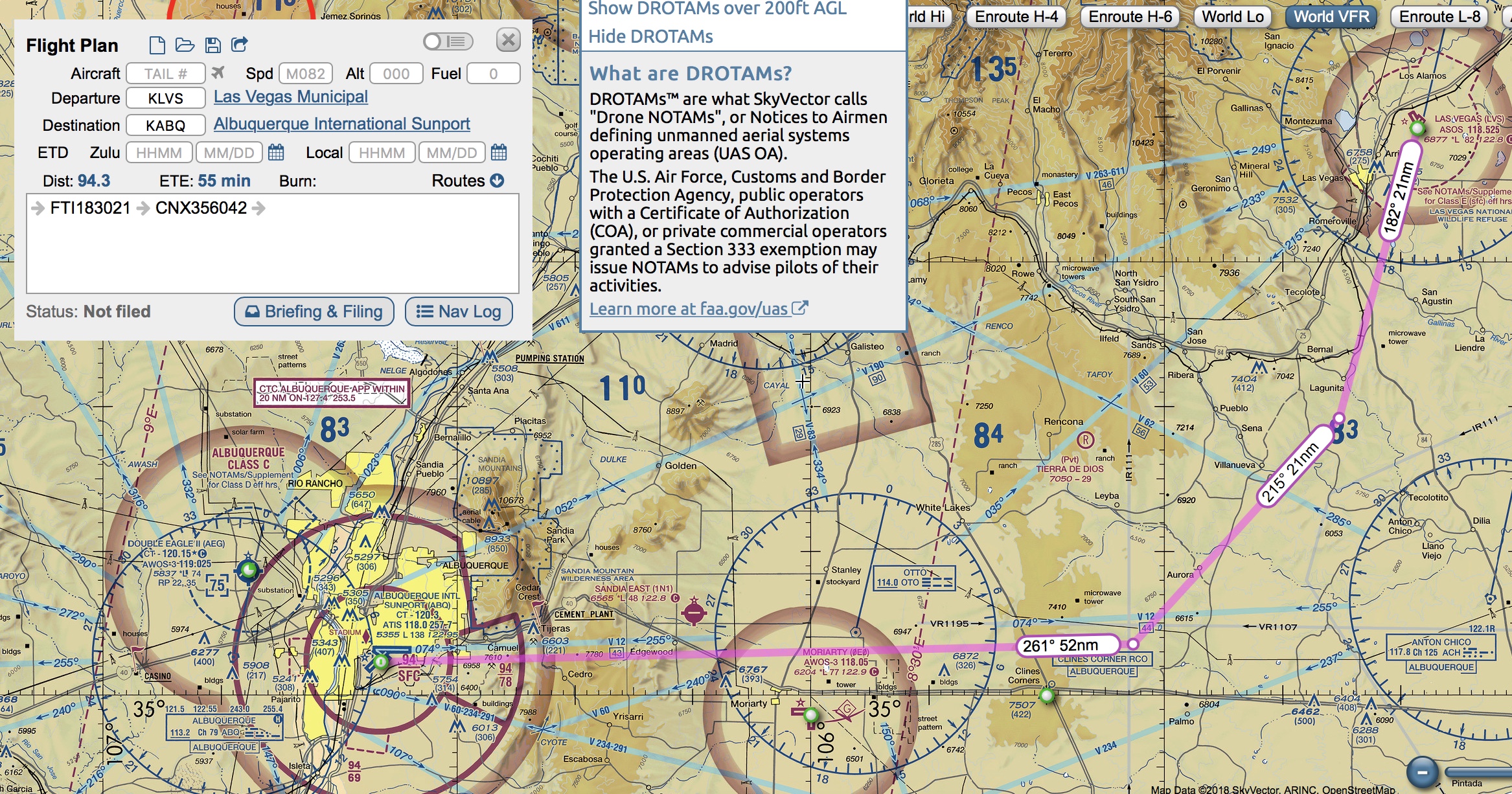
The next morning I sleep in a bit, grab a quick breakfast, and prepare for my trip to Albuquerque International Sunport. KABQ is in Class C airspace, so I'll be under full ATC for this trip. The most direct route takes me over some high mountains, so I'll be taking a more leisurely path, avoiding the peaks.
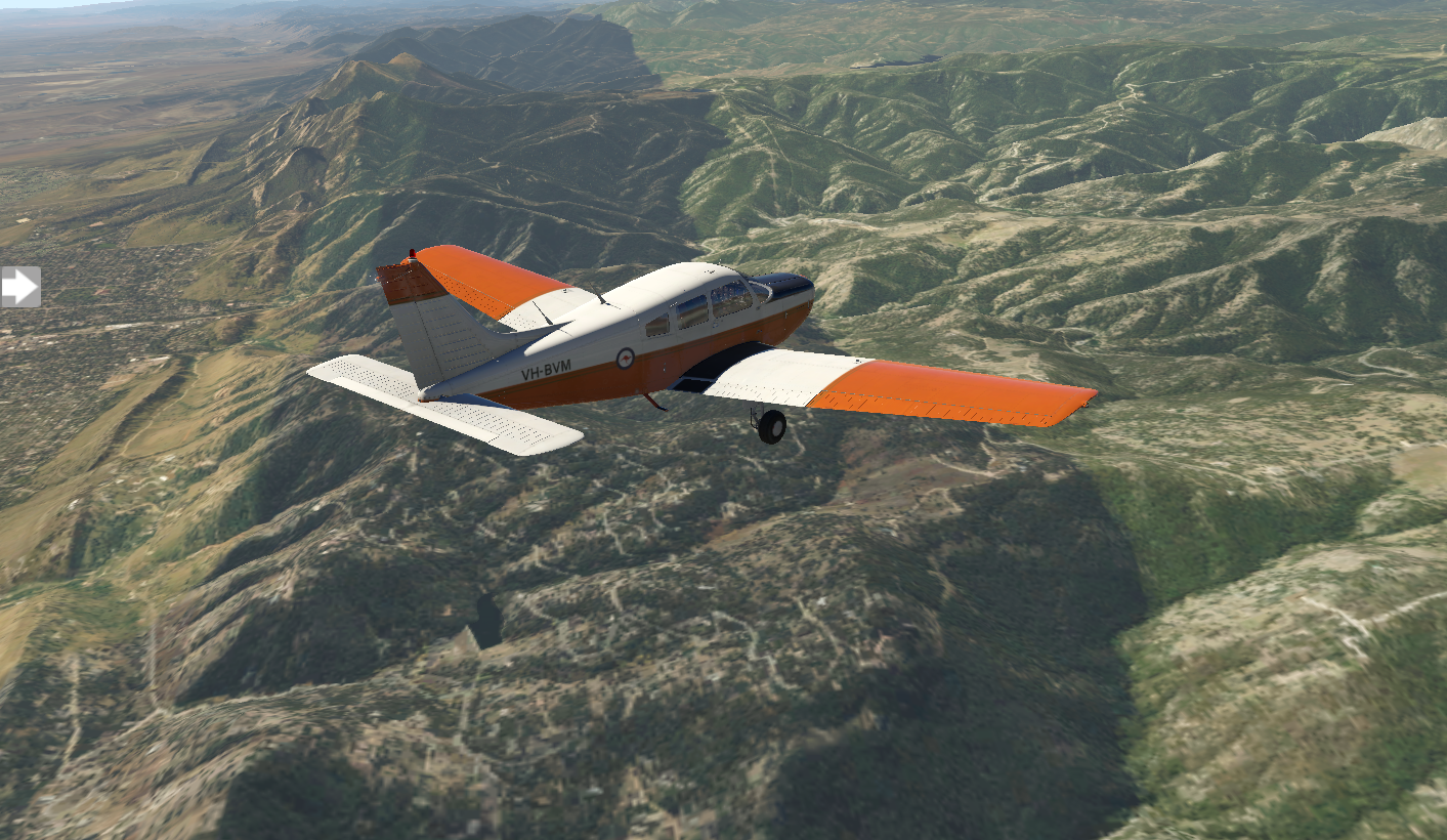
I couldn't ask for a better day. Visibility is perfect with cloudless blue skies. The landscape is a swirl of nutmeg and ochre as I ascend to ten-thousand feet.


Even this far south, there's still some tall mountains to cross, but Albuquerque comes into view. I follow the standard approach and set down on runway three.

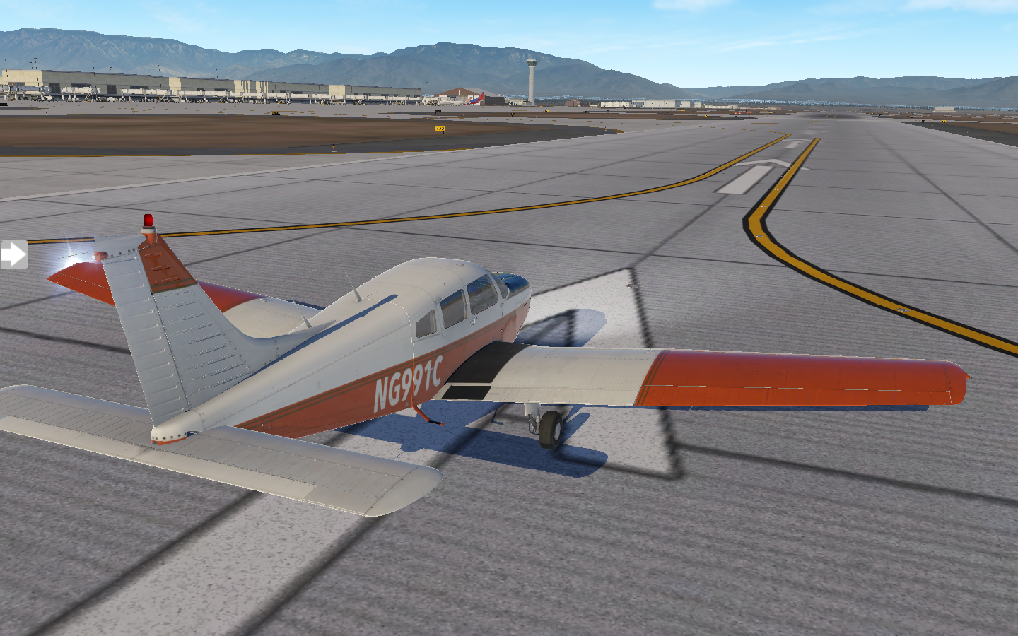
I roll into the general aviation area and shutdown. I've got a few hours here before moving on to Gallup. One of my favorite TV shows, Breaking Bad, was set in Albuquerque. I ponder if there are any locations to visit as I climb out of my Warrior.
Pixel Plane - Navigation - The Continental Divide
There’s a reason it’s called the Continental Divide
I wake up the next day after a whirlwind tour of Denver, laying out my aeronautical sectionals. After crossing half of the country, I've hit both a literal and metaphorical wall: the Rocky Mountains.
VRF sectional maps contain blue digits showing the maximum terrain elevation. On my proposed route from Denver to Granby, the number on the right starts at 10.5 (10,500 feet) and ends at 14.6 (14,600) feet.

This poses two big problems. First, the service ceiling of my Piper Warrior is 11,000 feet. Second, I will need supplemental oxygen to fly above 12,500 feet. As I pan along the sectional map, this entire chunk of the Rockies is over 12,500 feet.
Just for fun I try a simulated flight. X Plane allows me to take my Warrior up to 12,500 feet, but it's the minimum to clear the peaks. The views are fantastic.
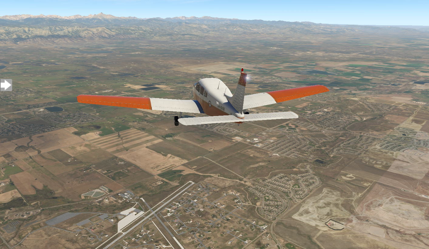
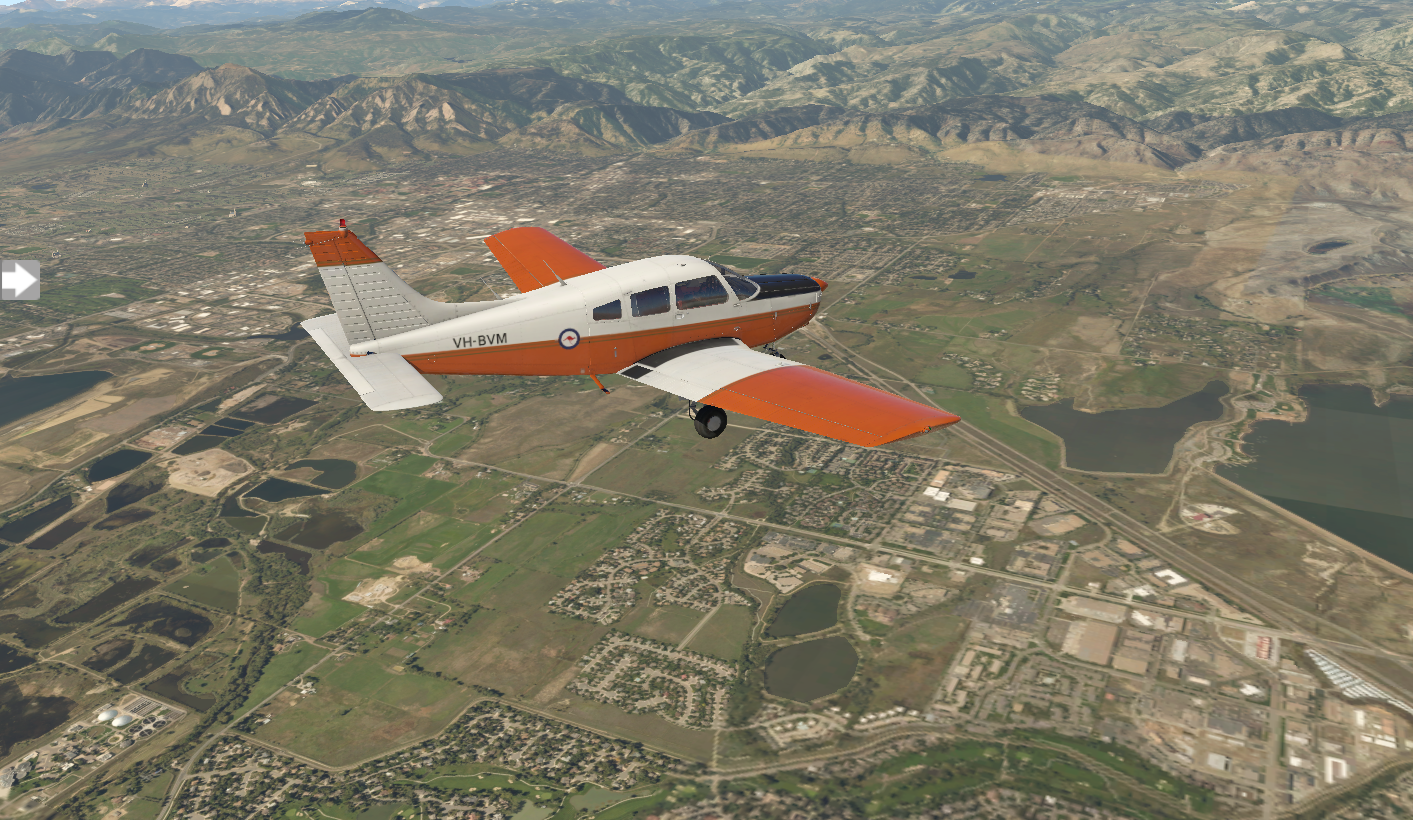
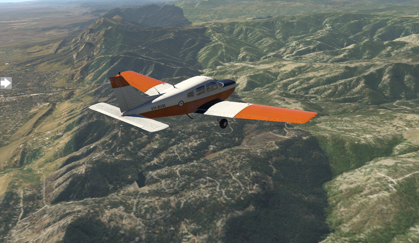
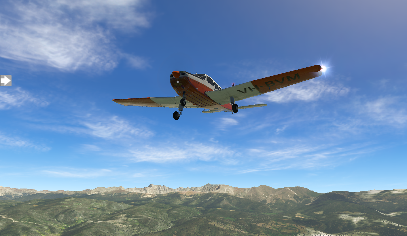
But, realistically I wouldn't take my aircraft 1,500 feet above its max altitude. So, when you can't go over a mountain, you need to find a way around.
Option 1 is north to Cheyenne and Casper:
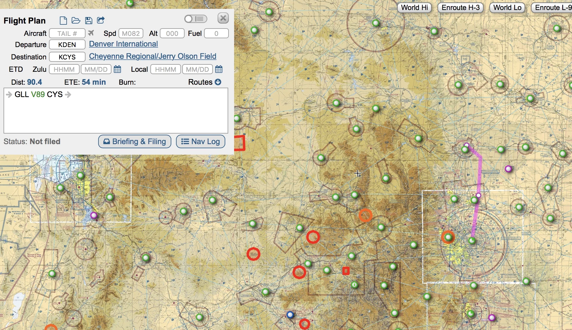
Option 2 is south to Colorado Springs and eventually Albuquerque:

The nice thing about option 2 is that it lines me up with a due-west track with the Grand Canyon, which is in my plan.
Option 2 it is. I start working out the details of my next stop, KCOS Colorado Springs.

Pixel Plane Day 11 - Look Kids...Big Ben, Parliament
Today I learn that it’s important to respond to air traffic control.
The weather is perfect for my sunrise flight out of KLBF North Platt. It's a hundred-and-thirty nautical mile flight to Akron, Colorado, and I enjoy the views of the landscape bathed in gold light.
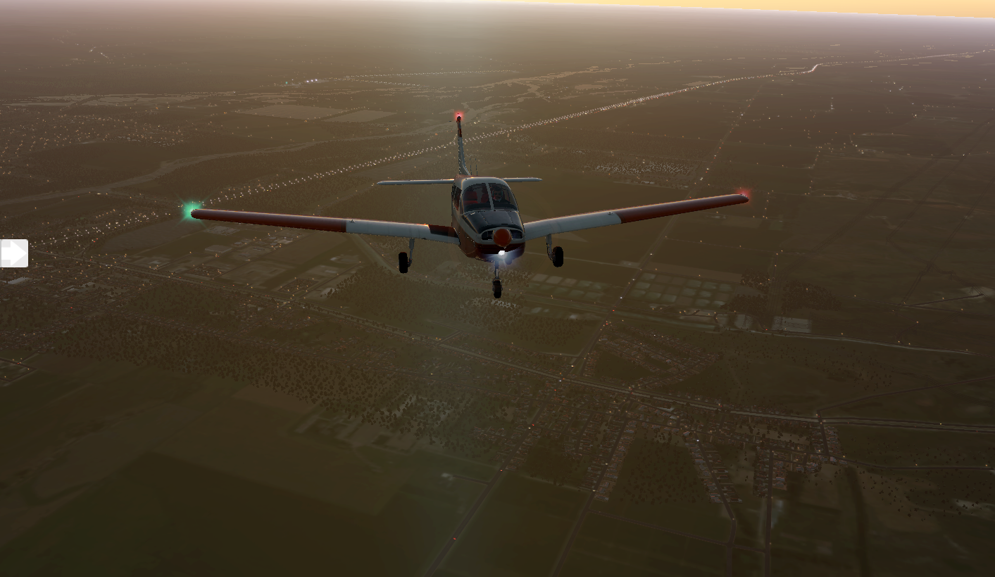
When I set down in KAKO Colorado Plains Regional Airport, there are a few Cessnas parked in the general aviation area. One is being prepped for a flight, and the pilot gives me a friendly nod.

Not to be confused with Akron, Ohio, this is a small town with seventeen-hundred people. I grab a cup of joe at Cornerstone Coffee, then I'm back to the airport for my trip to KDEN Denver International.
Denver International is surround by Class B airspace, which means I'll need ATC clearance and guidance. I file an IFR flight plan. As I zoom out on my Garmin, it displays the controlled airspace shelves as rings. Good to know, because there are strict FAA penalties for violating Class B airspace. More importantly, it'll be filled with aircraft, and I can cause a collision. ATC clears my flight plan and gives me my unique transponder identifier, forty-seven hundred, so they can track me. I dial it into my transponder.

Initially green fields greet me on my journey, but they give way to rocky hues.

Air traffic control takes me out over the city in a wide square to reach my runway. The route around Denver seems to take longer than the flight to Denver. Comms are alive with chatter from other aircraft.

I've got runway 35R's ILS frequency dialed into NAV1 and my CDI set up for three-fifty. ATC takes me on a forty-five degree angle to intercept the approach.
“Heading is three-fifty,” ATC instructs, “we’ll call the field.”
I find “we’ll call the field” a bit confusing, but I repeat, “Fly heading three-fifty, call the field in sight.”
I'm perfectly lined up with the runway when ATC gives me a new heading ninety-degrees to my left. Perplexed, I obey.

ATC takes me on the long, rectangular circuit I just flew, looping along the forty-five and finally back to the three-fifty. It feels like the scene on National Lampoon’s European Vacation, where Chevy Chase is stuck in the round about.
I scratch my head wondering why I was diverted, but finally deduce the cause. ATC was waiting for me to report the field in sight. When I didn't, they diverted me.
This time I do a better job, and land at runway 35R.


The general aviation area is bit away from the main terminal. I head over to watch the myriad of flight operations.

I have to give X Plane a hand. There are many third-party plug-ins to add AI traffic and airport operations, but vanilla X Plane does a good job of moving AI aircraft and ground services around the airport. Here a Cessna taxis while a Southwest 737 arrives.

There are endless things to do in Denver, and I spend the day exploring. I start with Dinosaur Ridge, following the footprints of dinosaurs. Next up is the Denver Botanic Gardens for an tour of Rocky Mountain flora. As an art fan, I can't miss the Denver Art Museum. I swing by Larimer Square and Union Station before visiting Red Rocks Amphitheatre. All in all, a great day. I crash at my hotel and get a good night's sleep in preparation for tomorrow's flight to Granby-Grand County.

Pixel Plan Day 10 - Nebraskan Sunset
Continuing across the endless green Nebraskan fields.
Wahoo is a small town with 4500 people. I check out the Saunders County Museum before leaving for my next leg. It's sunny and clear as KAHQ falls behind me.

Endless green tiles knit the landscape together as I venture towards Grand Island. A few clouds drift in, but they're high and sparse, and don't affect my course. When I land at KGRI Grand Island, it's busy, with a few heavies readying for departure.

I'm a bit museum-ed out, so for a change of place I visit the Crane Trust Nature and Visitor Center. I grab dinner at Sin City Grill, then I'm back in the air for a late-day departure. Next up is KLBF North Platt.

The sun grows weary and drops beneath the horizon as I travel.

KLBF's light's are a welcome sight.

The last light fades as I roll into the general aviation area. Tomorrow's another day, and on to Akron.

Pixel Plane Day 9 - Wahoo
A sunny flight to Wahoo, Nebraska, and a poorly-planned Class C airspace transition.
I catch breakfast at Red Oak's Feedlot Restaurant, then check out the Burlington Northern Depot and WWII Memorial Museum. After that, I'm back in the air enroute to Wahoo, Nebraska.

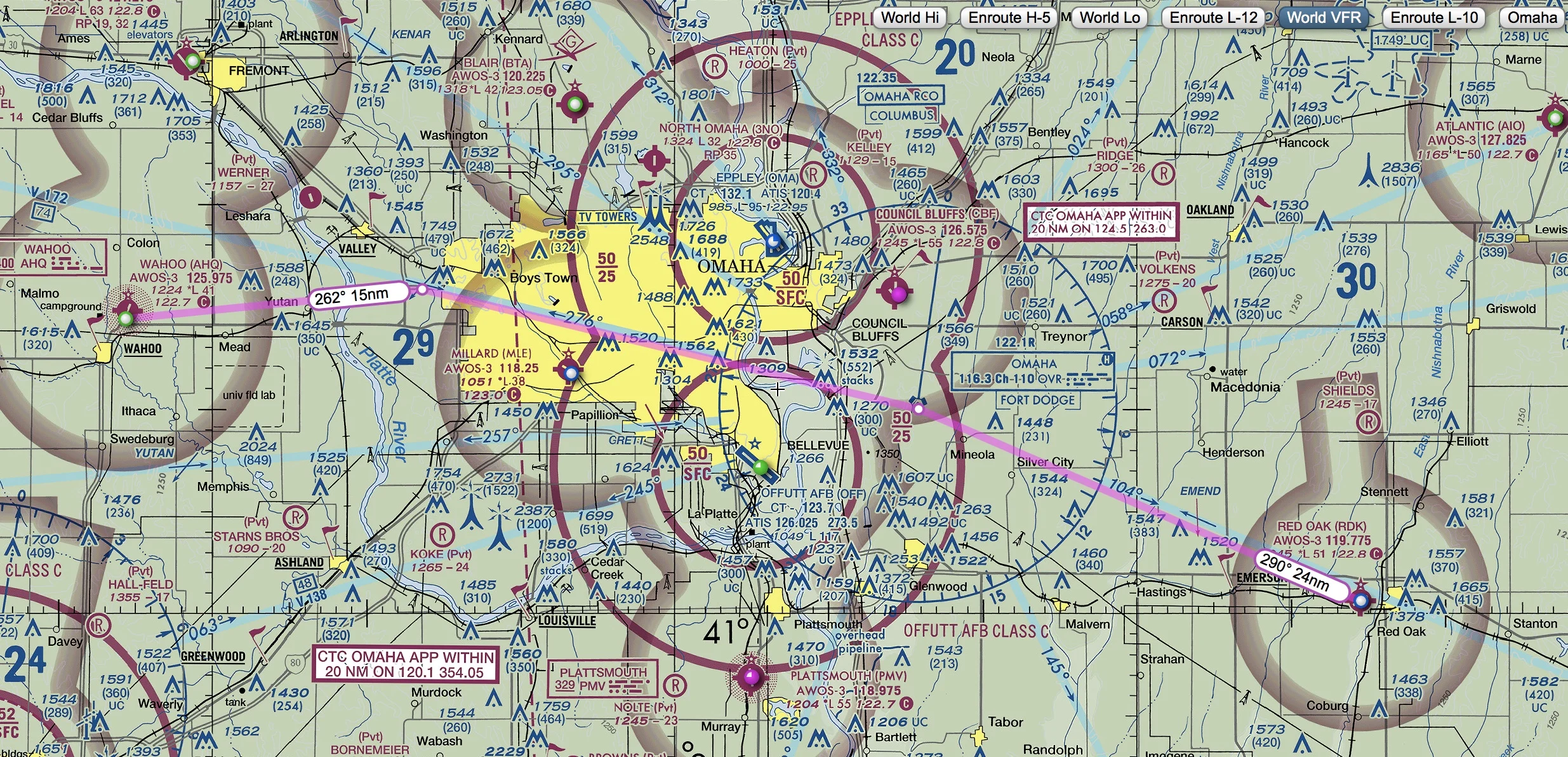
The most direct route is over Offut airforce base. A check of my sectional map shows this to be Class C airspace (indicated by the solid magenta circles on the map).

The numbers 50/SFC and 50/25 tell me the airspace extends from the the surface (SFC) to 5000 feet (50) near the airport and from 2500 feet (25) to 5000 feet (50) in the outer ring. It's a bit like a mushroom-shaped column of air. I can fly under the mushroom dome, until I hit the stalk, over the mushroom, or around it. Or, I can contact ATC and request clearance to fly through it.
I make all the wrong choices. I decide to fly at 6000 feet over the Charlie airspace, to avoid entering it. Sure enough, I'm flying VFR and encounter scattered clouds at 6000 feet when I'm over the heart of the controlled airspace, ending up contacting ATC to descend and enter. My other option was to do a one-eighty. I'm nearly at the transition of the inner to outer ring, so they direct me down to 2000 feet, which will take me below the airspace and clear of the clouds.
In hindsight, a much better plan would have been to route south via Plattsmouth, avoiding the airspace altogether.
I pass a wind farm, turbines turning slowly on endless plains.

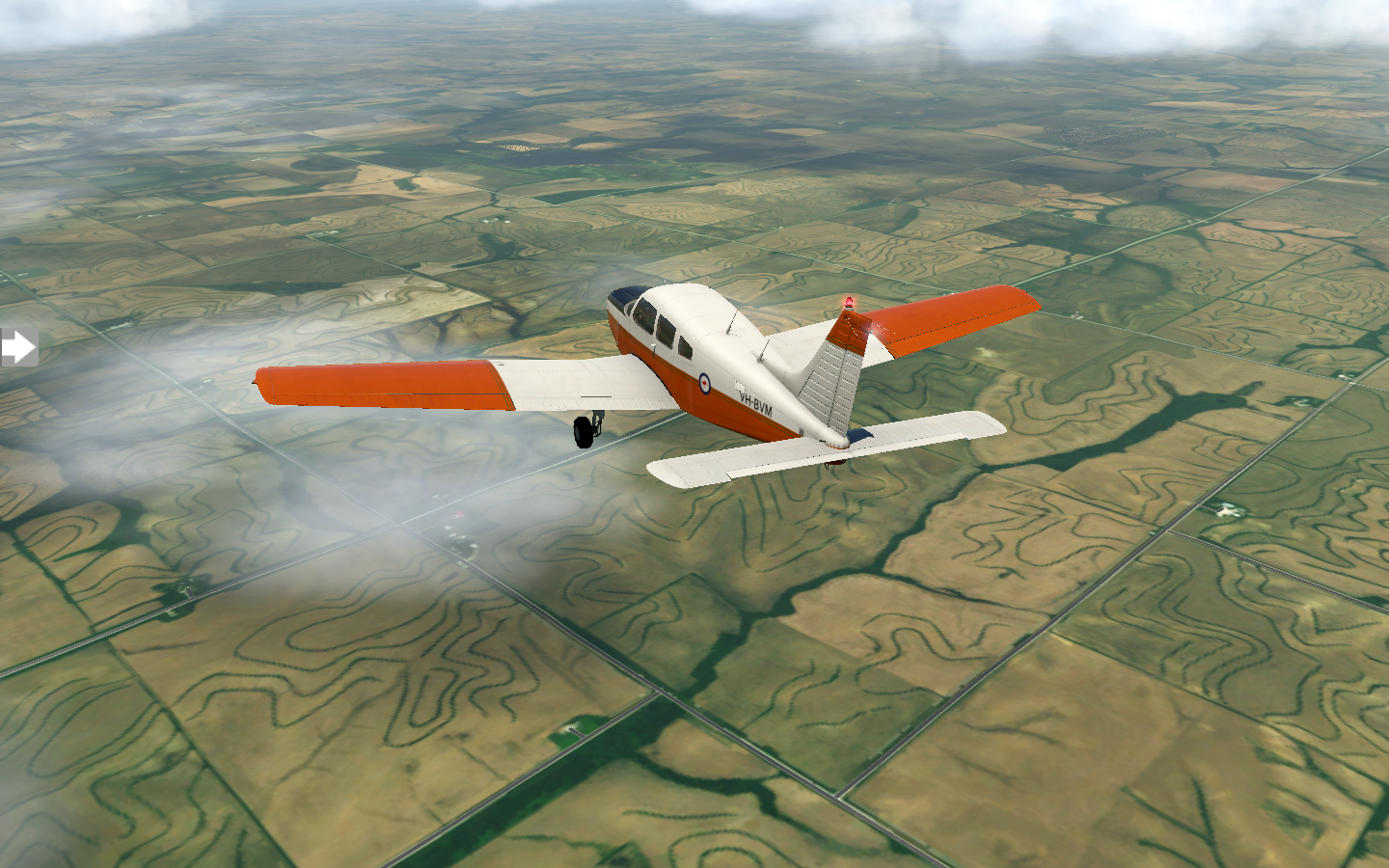
Wahoo, Nebraska comes in to view. I can tell I've found the municipal airport because someone has painted the letters WAHOO on the roof of one of the airport buildings. I grab some lunch at Chip's before prepping for my next leg to KGRI Grand Island.
Point of Order: The XPlane Piper Warrior II model I'm using for my flight has a Bendix/King KT76A transponder. If you look closely at my cockpit screenshots, you'll see there's a "NO MODE C" sticker beneath the transponder. For purposes of my cross-country trip, I'm assuming I replaced it with a KT76C (or something newer) to have Mode C, which reports altitude to ATC and is required to enter Class B and C airspace. Otherwise I would not be able to land at my destination, KSFO San Francisco, or Chicago O'Hare, which are both Class B airspace.
Pixel Plane - Day 8 - Oh Deere
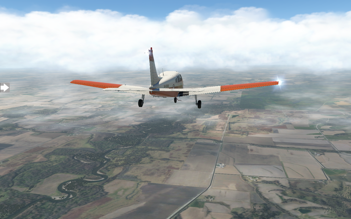
I take in a few of the sights in Illinois and Iowa.
At one-hundred-and-twenty-one nautical miles, the flight from Chicago to Moline was one of my longer ones. Cruising speed on my Warrior II is 118 knots. After a good night's sleep, I wake up and grab breakfast at Quad City Coffee and Pancake House, then it's off to sightsee. I check out the John Deere Pavillion and the Figge Art Museum before returning to the airport. It's cloudy when I take off, but there's still a great view of Quad City.

The flight to KCID Cedar Rapids is shorter, at seventy-one nautical miles. The overcast clouds continue, washing everything in desaturated tones.
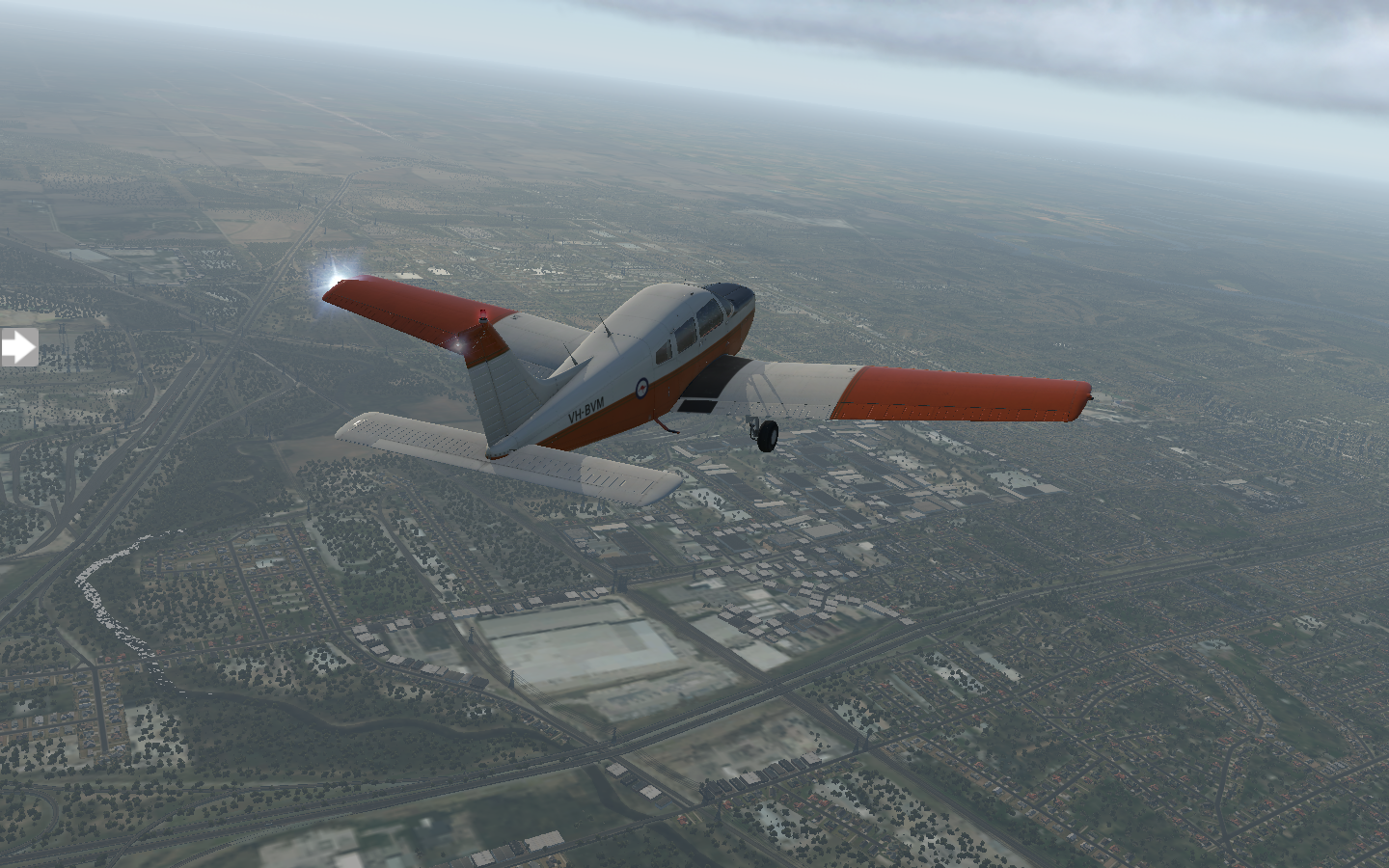
I visit Brucemore in Cedar Rapids, do a walk-by of the Paramount Theatre and Cedar Rapids Museum of Art, then I'm back in the air for my trip to KDSM Des Moines. At first it's fairly clear skies with green fields stretching on forever.
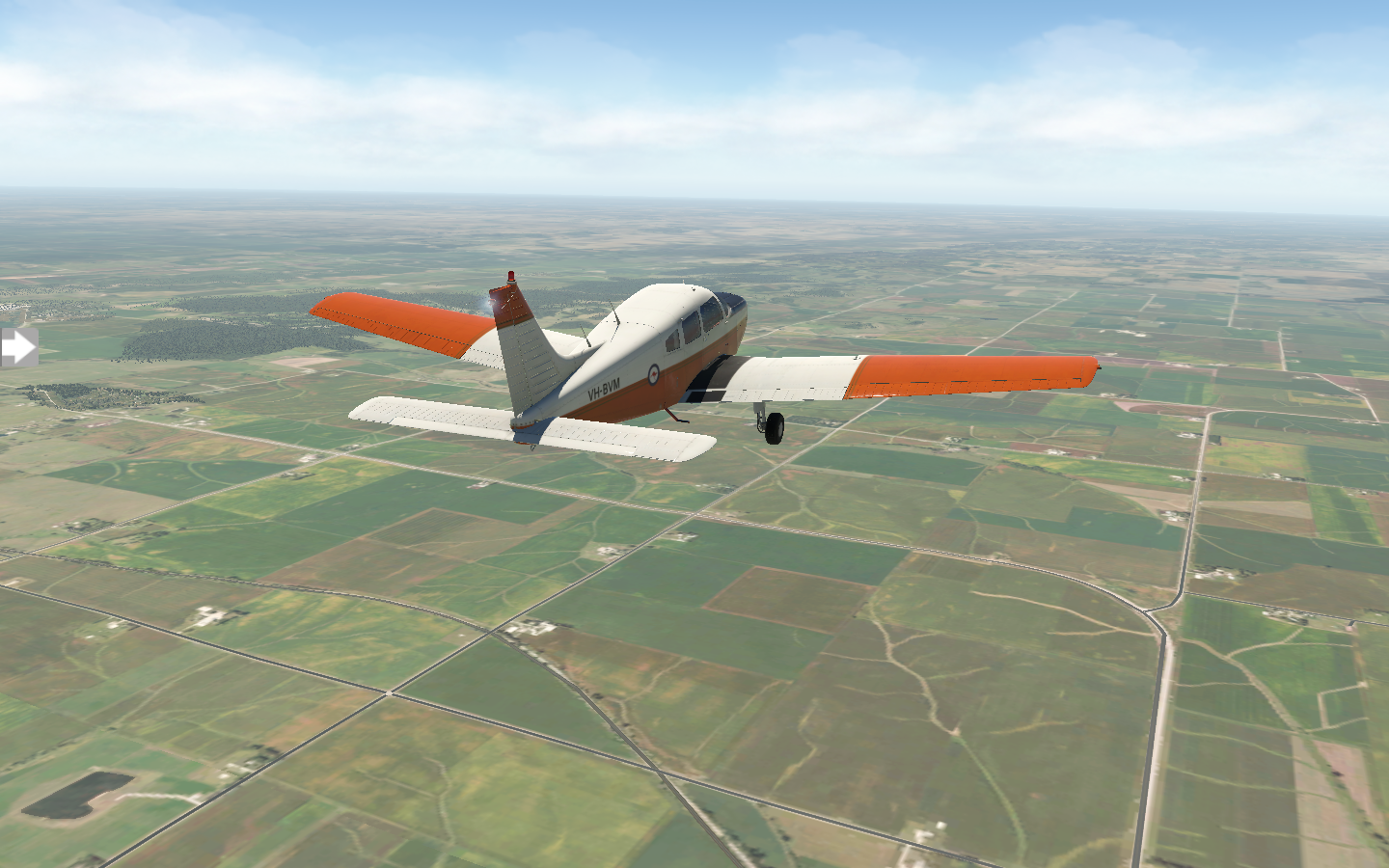
I'm flying at five-thousand feet when the cloud bank rolls in, but I have plenty of warning and descend to twenty-five hundred long before it's upon me.

The landing is smooth and I grab some dinner at the Flying Mango (which I feel should be my new callsign) before checking out the Salisbury House and Garden and Pappajohn Sculpture Park. Tomorrow it's on to KRDK Red Oak.
Pixel Plane - Day 7 - Save Ferris
Swiiiing batter batter batter batter.
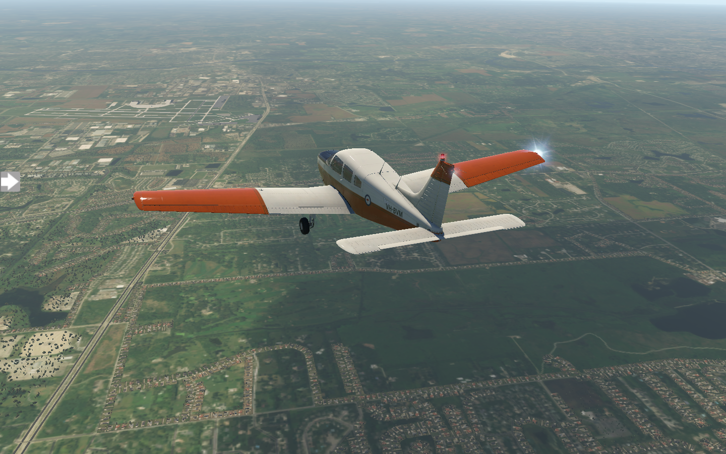
After spying a Piper Turbo Arrow IV available for rental in the KORD general aviation area, I decide to take it out for a morning spin. The cockpit is virtually identical to my Warrior's, except for those three teal lights next to the throttle. Retractable landing gear. Also, there is a lever between the throttle and mixture controls: propeller control. The Arrow has a variable pitch propeller.
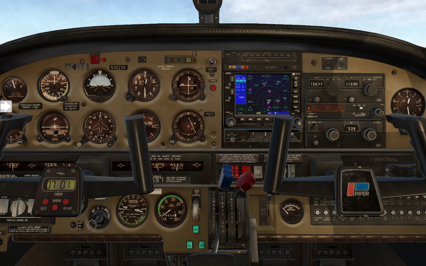
It really moves when I take off. I wouldn't mind having it for my cross-country trip. Those miles would fly by.

After a bit of city sightseeing, I return to KORD.

I spend the day touring Chicago and tracing Ferris Bueller's steps in one of my favorite movies, Ferris Bueller's Day Off. I visit Tribune Tower, Marina City, the Skydeck of Willis Tower, Wrigley Field, and the Art Institute of Chicago.

I feel like Ferris racing in slow motion to get back to the airport for my departure.
I'm back in the air late in the day, leaving Chicago O'Hare.


After thirty minutes it's endless green fields until I approach Moline.

I set down in KMLI Quad City Moline. Tomorrow's another day, and I'll explore it a bit before continuing on to Cedar Rapids.
Pixel Plane - Day 6 - Flying with Style
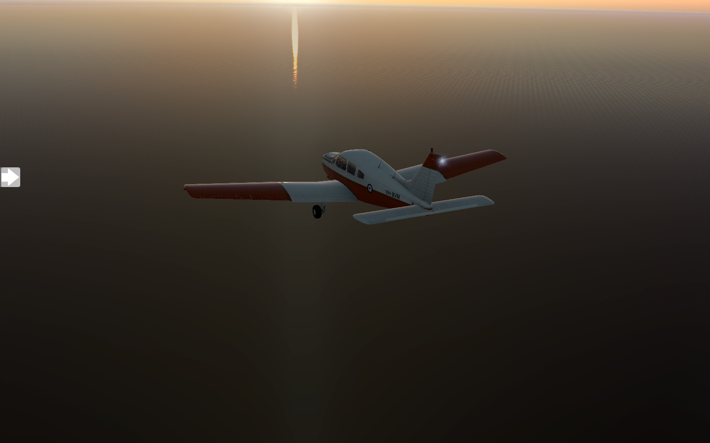
A sunset flight over Lake Michigan to Chicago O’Hare is the perfect end for a day.
It's mid-afternoon and sunny when I take off from Fort Wayne, heading to South Bend. The wind has calmed and it's nice to relax and have a smooth flight.

Soon I'm lined up with the runway and touching down in KSBN South Bend.

I catch a cab to Notre Dame and check out the Studabaker National Museum. Dinner is at Tippecanoe Place, a restaurant in the Studabaker Mansion. With a full belly, I head back to the airport. The sun is getting low as I prep for the next leg.
I'm excited about this flight. I'll be flying over Lake Michigan at sunset to arrive at Chicago O'Hare. The first waypoint is named STYLE, so I'll be flying with style.
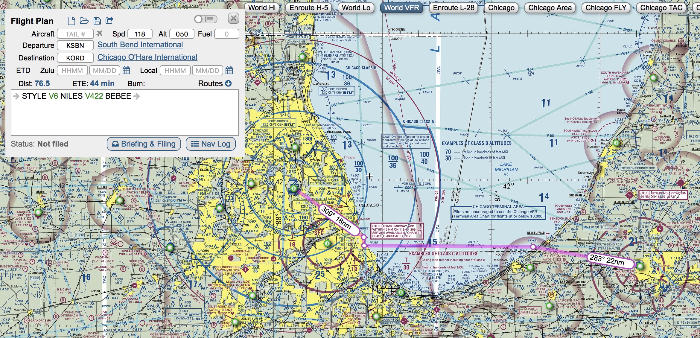
The fading daylight turns orange as I leave the shoreline behind me.

For a while, there's nothing but the sun dipping beneath the water.

Skyscrapers are prominent as the shoreline comes into view.

I indulge myself with a flyby of Chicago O'Hare.

Finally I set down on runway 27R before parking in the general aviation area.

It's tempting to explore Chicago's night life, but it's been a long day with many hours of flight, and I check into my hotel. I'm asleep moments after my head hits the pillow.
Pixel Plane - Day 5 - Fort Wayne
A windy ride to a historic city.
My day starts with bacon and eggs at the Big Apple Cafe before heading out for my 9 am departure in Newark, Ohio. Some puffy clouds alternate breaks in the sunshine, with a touch of wind.

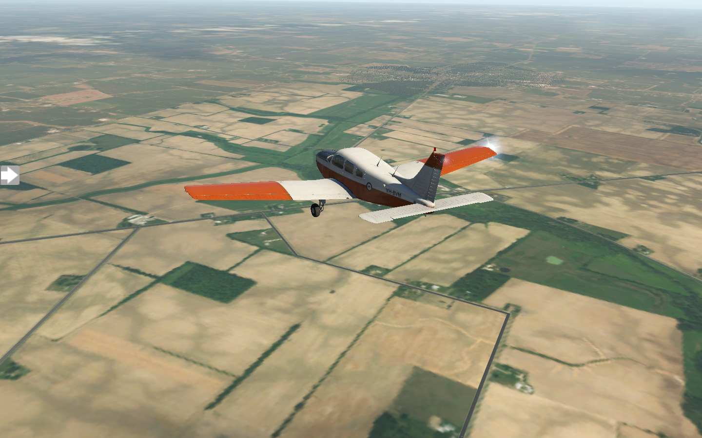
In no time the landscape changes, cities and towns giving way to farmland.
I take the time to tinker with the Bendix/King KN62A DME. Like many of the other navigation devices, it tunes into a navaid frequency. I look up a nearby VOR/DME and dial in the frequency. It displays distance to the VOR and time to station. It amazes me how many separate navigation devices are on the plane.

Procter and Gamble's Lima plant is not far from the KOAH airport, sitting on the other side of a reservoir. I fly over it before lining up with the airport.

After a short break in Lima, I take off just before noon and head towards KFWA Fort Wayne. The clouds continue and the wind picks up, swaying my warrior to and fro.

Crosswinds keep me on my toes as I try to keep on centerline for the runway, and it's a relief when I finally set down.

I've got short rest here and some time to explore Fort Wayne before heading to my next destination, KSBN South Bend.

Pixel Plane - Day 4 - Monstrous Picnic Baskets
The rain finally subsides as I take a morning flight to Wheeling and Newark.
After three days of rain and clouds, it's refreshing to wake up to a crisp sunrise glaring through my hotel's curtains. I grab breakfast at Flood City Cafe, then I'm off to the airport to prep for an 8 am departure. The sky has a few scattered clouds as my Warrior climbs to cruising altitude.
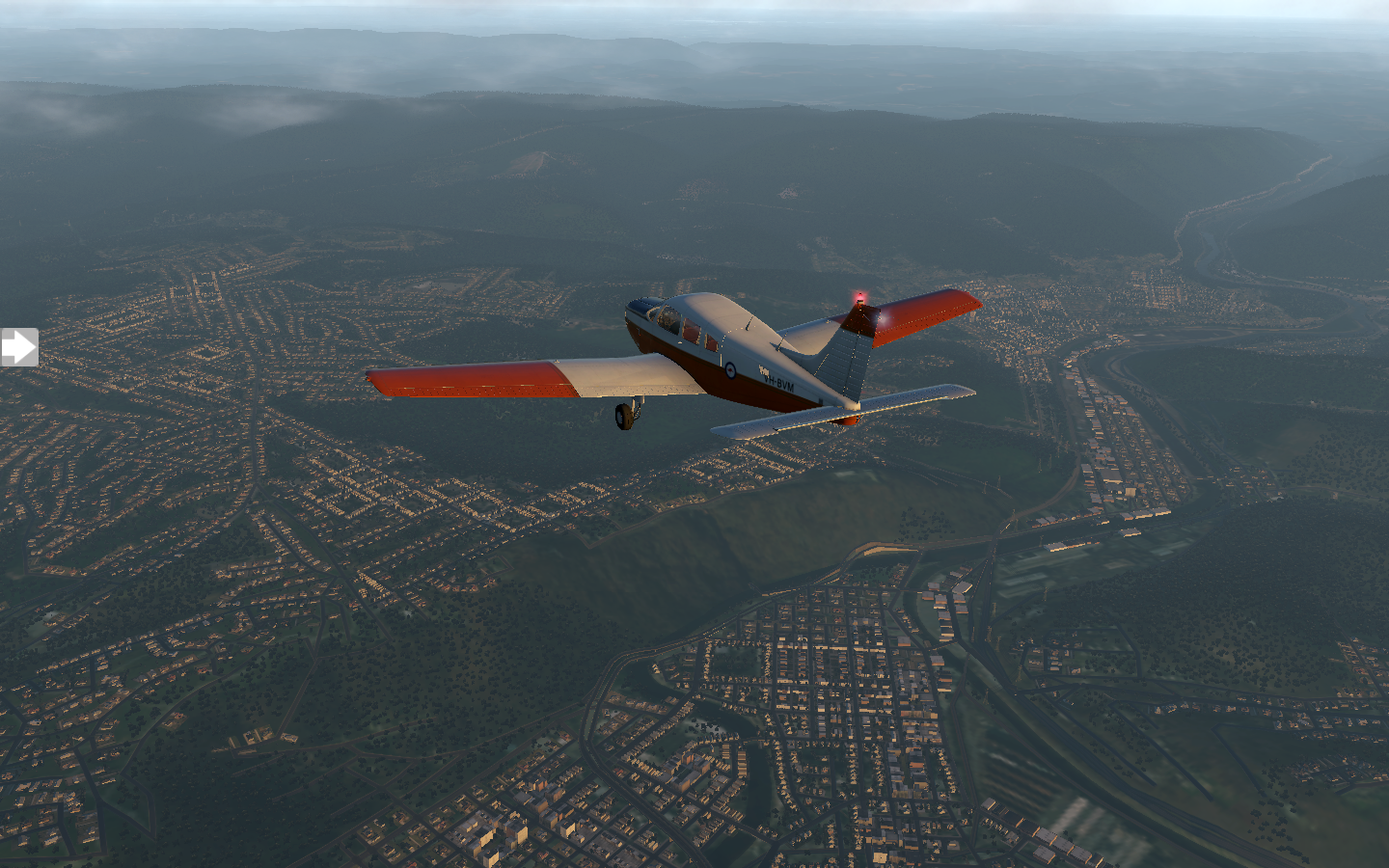
For most of the trip I fly at 6000 feet, the clouds above me at 9000 feet, until I get closer to my destination. Puffy cumulus clouds roll in underneath me. I descend below them.

Wheeling, West Virginia is a bit misty as it comes into view, but visibility is good and I have no trouble with the approach to KHLG.

To help me with that approach, I discover the Garmin OBS function, which allows me to link the OBS knob from my NAV1 gauge to the GPS. This means I can set my desired approach angle for the runway and have the GPS display it a a line. When I come near the line, I just need to turn into it and I'll be perfectly lined up with the runway.
Incidentally, did you know that runway numbers are the rough heading of the runway? Runway 9 has a heading of 90 degrees (relative to magnetic north). Runway 12 is 120 degrees. The real runway angle may be 91.2 degrees (you get it from the FAA airport map), but 90 will get you in the ballpark.
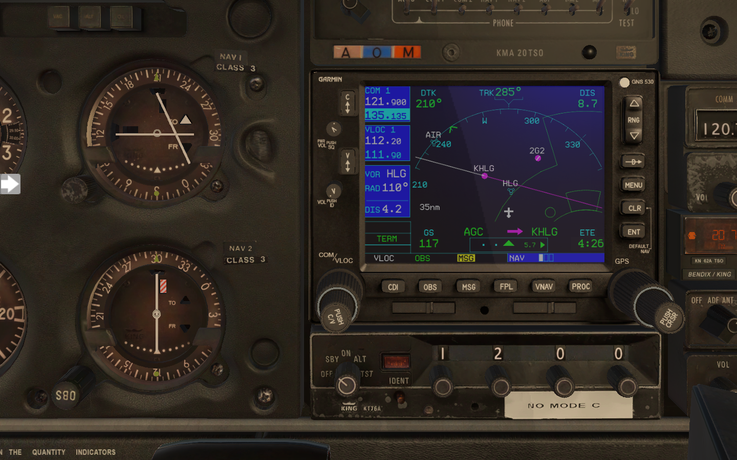
Wheeling is a charming city which was the original capital of West Virginia. I take some time to explore the Wheeling Suspension Bridge, built in 1849. After a bit of sight-seeing it's back to the airport for a noon departure. There's not a cloud in the sky when I take off.

Most of the route is very rural, and pretty.

It turns out that where I'm heading, KVTA Newark, Ohio, has an NDB (non-directional beacon) located right near the airfield. My Warrior has an ADF (automatic direction finder) gauge which I have not used yet. I look up the NDB frequency and tune it into my King KR85 unit. ADFs work a bit like those hand-held trackers you see in old spy movies. The needle points in the direction of the signal. When the needle points up, you're going straight towards it. I rotate the card on my ADF to match my current heading so that the needle points to the heading of the signal.

ADF - bottom left gauge. My little plane stick figure should fly in the direction of the needle, which in this case is straight ahead.
I also discover my Garmin has pre-programmed approaches and departures for each airport. This makes life even easier.

Regardless, I still dial runway nine's localizer into NAV1. A turn on final and a smooth landing, just as clouds start to roll in. I spotted something that couldn't be real as I made the turn, and made a mental note to ask about it on the ground.


The locals point me in the direction of the thing which couldn't be real: a giant basket as big as an office building, complete with windows. A short cab ride takes me there, and I tilt my head towards the sky to check it out. It's a giant Longaberger basket. More specifically, it was the headquarters for Longaberger, opened in 1997, sold in 2018. A smile pulls across my face as I feel like I've been shrunk in a sci-fi movie,

Pixel Plane - Day 3 - Penn State
Rain, Lions, and Steel
Today the rain continued in its same pattern: downpour, drizzle, sunshine, downpour. My original plan was a direct flight to KJST John Murtha Johnstown-Cambria County Airport, my last stop in Pennsylvania, but the weather is iffy and I decide to break the trip into two hops. I key my stop into the Garmin: KUNV - University Park 51 Airport. Fifty-one nautical miles, land, assess the weather, then on to Johnstown. The transponder is set to 1200 for VFR flight without ATC guidance.

It's drizzling as I line up on the KSEG Penn Valley runway, but there's no wind.

By the time I land at University Park, visibility has decreased and I don't get much of a Penn State aerial view.

I explore State College for an hour, which goes by in a blink, and pose for a picture next to the Nittany Lion Shrine statue. Sunlight's broken through the clouds and the rain has subsided. Looks promising. I prep for my next hop and take off.
With the fog gone, I can see State College properly from the air.

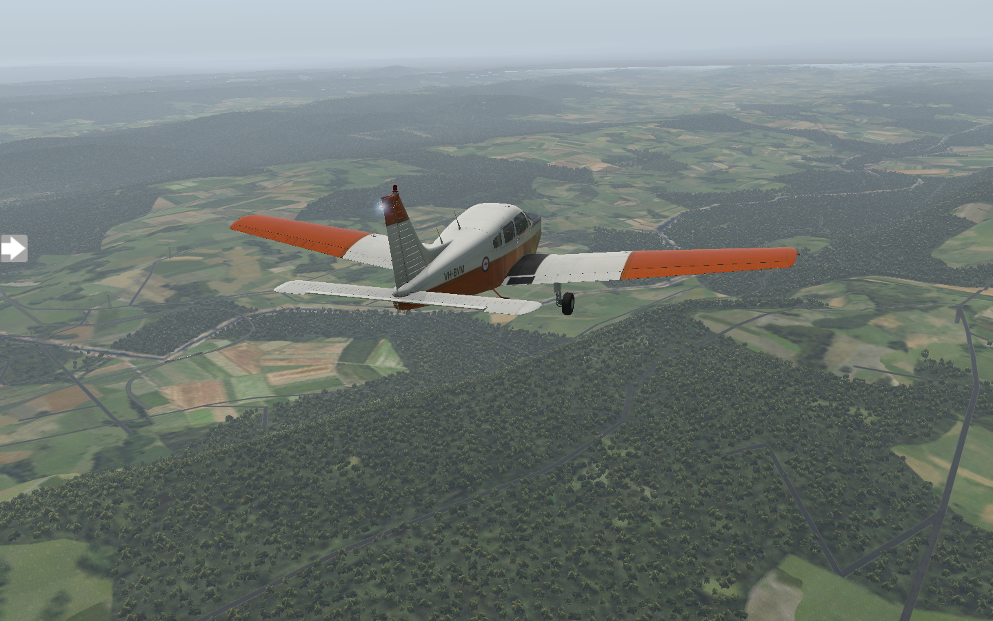
As the sun gets low, rolling mountains drift by until Johnstown comes into view. Like many Pennsylvania towns, it's an old steel maker.

The fading sunlight turns orange as I pull into the general aviation area at KJST. I watch a Cessna take off to my right, flying the pattern for a sunset view.

Pixel Plane - Day 2 - First Flight Complete
Overcast skies and a quiet flight to Penn Valley.
The weather is mixed today, with rain in the morning, sunshine in the afternoon, and rain again in the evening. I take advantage of the midday weather and prep the Warrior at noon. ATC assigns runway four. It's overcast with bits of sunlight breaking through, but winds are calm.

Moments later I'm rolling down the runway, rotating, and climbing away from KAVP.

It's a quiet, scenic trip, past endless green mountains and curving highways. I turn at LVZ VORTAC and head towards KSEG. I've checked the airport chart and know the runway will be nearly perpendicular to me at one-hundred-and-seventy degrees, so I plot a heading taking me at an angle south of it. Forty-five minutes go by, and I become aware of how painfully slow the Warrior's 118 knot cruising speed is. My navigation is spot on, though, and I see Penn Valley's airport beacon off my right wing.

A turn for final approach and I'm all lined up. I wonder about the houses just before the end of the airfield as I buzz over their roofs. Plates must rattle each time a plane glides past.

The touchdown is clean and I taxi and park. It's a little past 1 pm and I've got a three hour break before heading up for my next leg. I spied the Selinsgrove Speedway as I made my descent. A quick conversation with the locals reveal nothing is happening there today, so I ask about places for lunch. They send me to the Selinsgrove Brewing Company, but it's not my speed for lunch, and I'm flying, so I opt for the Kind Cafe, grabbing a seat at one of the tables outside.

Pixel Plane - Day 1 - Almost (virtually) died
Off to a bad start
With my flight plan mapped out, I start the first leg of my coast-to-coast X Plane adventure. The weather looks dicey with overcast clouds and rain throughout the day, but conditions at the airport aren't bad. Visibility is ten miles with clouds at 9000 ft. The Warrior’s waiting in the general aviation area. I set it up cold and dark, going through the startup checklist to turn everything on in the right order.
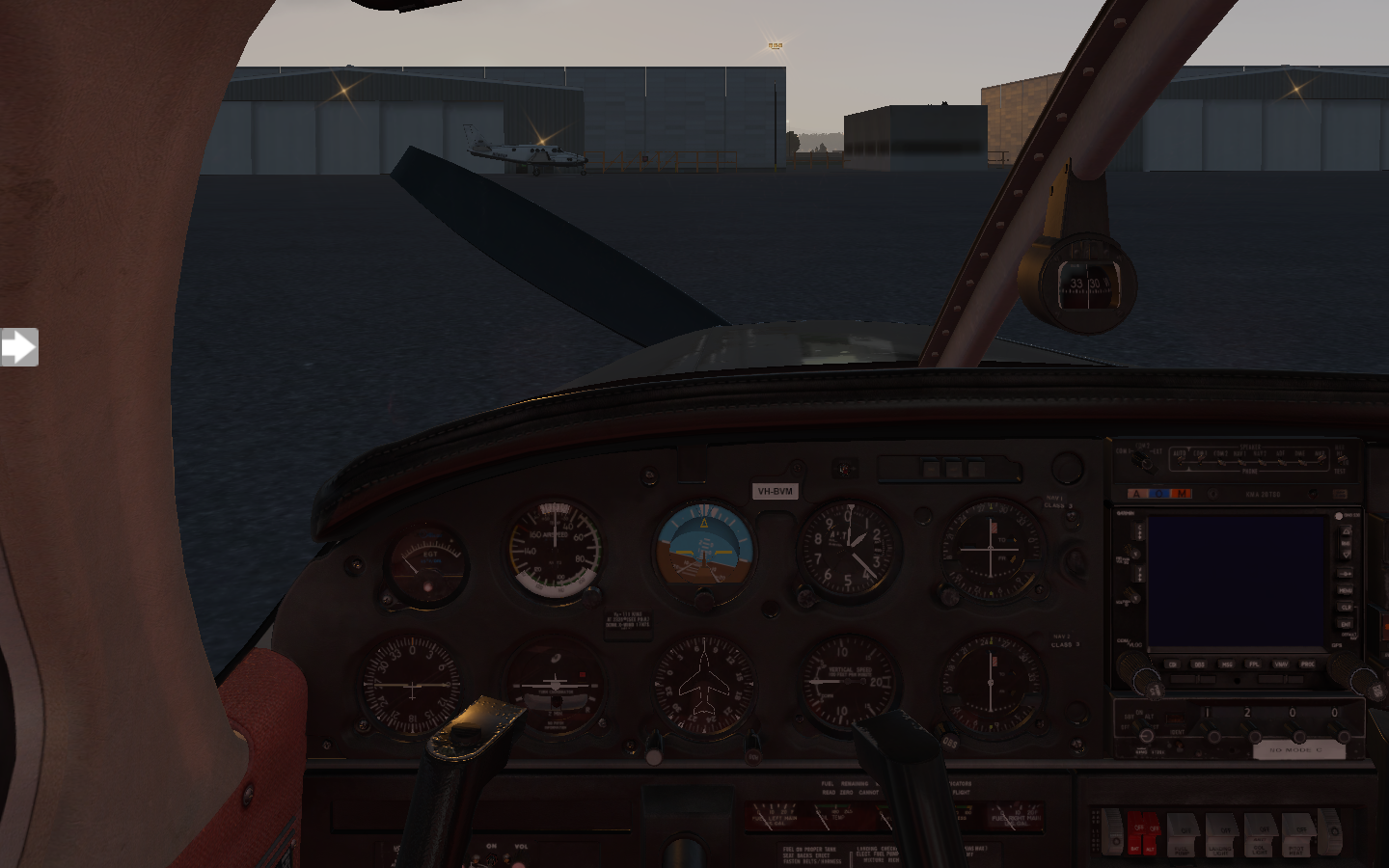
Today's flight plan is a 60 nautical mile hop to Penn Valley airport via LVZ and KIACK waypoints.

After taxiing from the general aviation area to runway four, takeoff is straightforward with a muted sunset to my left.

I set up my Garmin with the flight plan, tune NAV1 to the LVZ frequency and NAV2 to the VORTAC near the destination airport. A brief fiddle with the OBS nobs to set up my headings, and then I’m in the air. It’s pretty for a while, a bit misty, but there’s no precipitation and visibility of ground lights is good.

I reach my first waypoint without any fuss and turn into the second. Twenty minutes goes by quietly. Raindrops pelt my windshield as a Cessna passes within a mile of me.

It's still not windy as the rain picks up, but I see lightning flashes ahead. With little warning, the cloud bank envelops me. Visibility is abruptly zero with a disco strobe effect. I realize my anti-collision lights are making it worse and turn them off. Now it's just a haze of solid gray illuminated by my landing light, which I also turn off.

I pull up the map of nearby airports. Hazleton is ten minutes away, but in the direction of the storm. KAVP is fifteen minutes behind me, but has ILS approaches. I turn around. I'm flying blind in the cloud for a while, watching my instruments, tuned back into the LVZ VORTAC. I look up the runway ILS frequency I want to use at KAVP and tune it into NAV2. After a nerve-wracking span of time, the cloud breaks and I see city lights.

The wind hits me, tossing me everywhere. Even in a simulator, I am getting motion sick. Despite the aid of the ILS guidance, I miss the runway and do a flyby. I try three more times before finally putting the plane down, too fast, and skid off the runway onto a taxiway. After a moment to collect my thoughts, I putter over to the general aviation area and go through the post-flight shutdown checklist.

Once everything is off, I flick on my flashlight and hop out of the plane. The rain patters on my face as I step off the wing and onto the apron. I'll get a good night's sleep and hope tomorrow's weather looks better.

The Grand Adventure
A pixel plane, two-thousands miles, and a plan.
A few years ago I read Patrick Smith's Cockpit Confidential, a retired pilot's behind-the-scenes look at everything which happens behind the closed doors of aircraft. I was hooked, and, intensely curious. YouTube fueled my fire with channels dedicated to people showing their in-flight videos of pilot's training and first flights. One in particular showed someone being handed the controls of a single-engine prop plane and asked to land it with no flight experience. I remember him panning across the different controls and trying to deduce what each gauge did.
I wanted to know what each gauge did, so I downloaded X Plane and bought the virtual version of the same plane.
I've been virtually flying the past month, learning all of the details about how to start the plane cold, navigate via navaids and gauges, and land at different airports. When I took off from my local county airport, I was amazed at the detail in the simulations. It looked like where I lived, right down to the streets. I could find my house. In the advent of full-world maps like Google Earth, X Plane has a three-dimensional model of the world for you to explore. If you're really into authenticity, you can overlay it with satellite imagery. And, so, I find myself exploring places. Flying over the Golden Gate bridge and doing a circuit past Sausalito to Muir Woods and back, seeing the sights.

Flying the PA28 Piper Warrior II just north of San Jose
After fifty-plus simulator hours, I'm ready for bigger challenges. And, so, I've planned my grand adventure: flying coast-to-coast in my single-engine plane, the PA28 Piper Warrior II, and blogging my trip along the way.
I plan to keep it as authentic as possible. This means:
- I'll be following real flight plans created in SkyVector, using actual navaids and sky lanes.
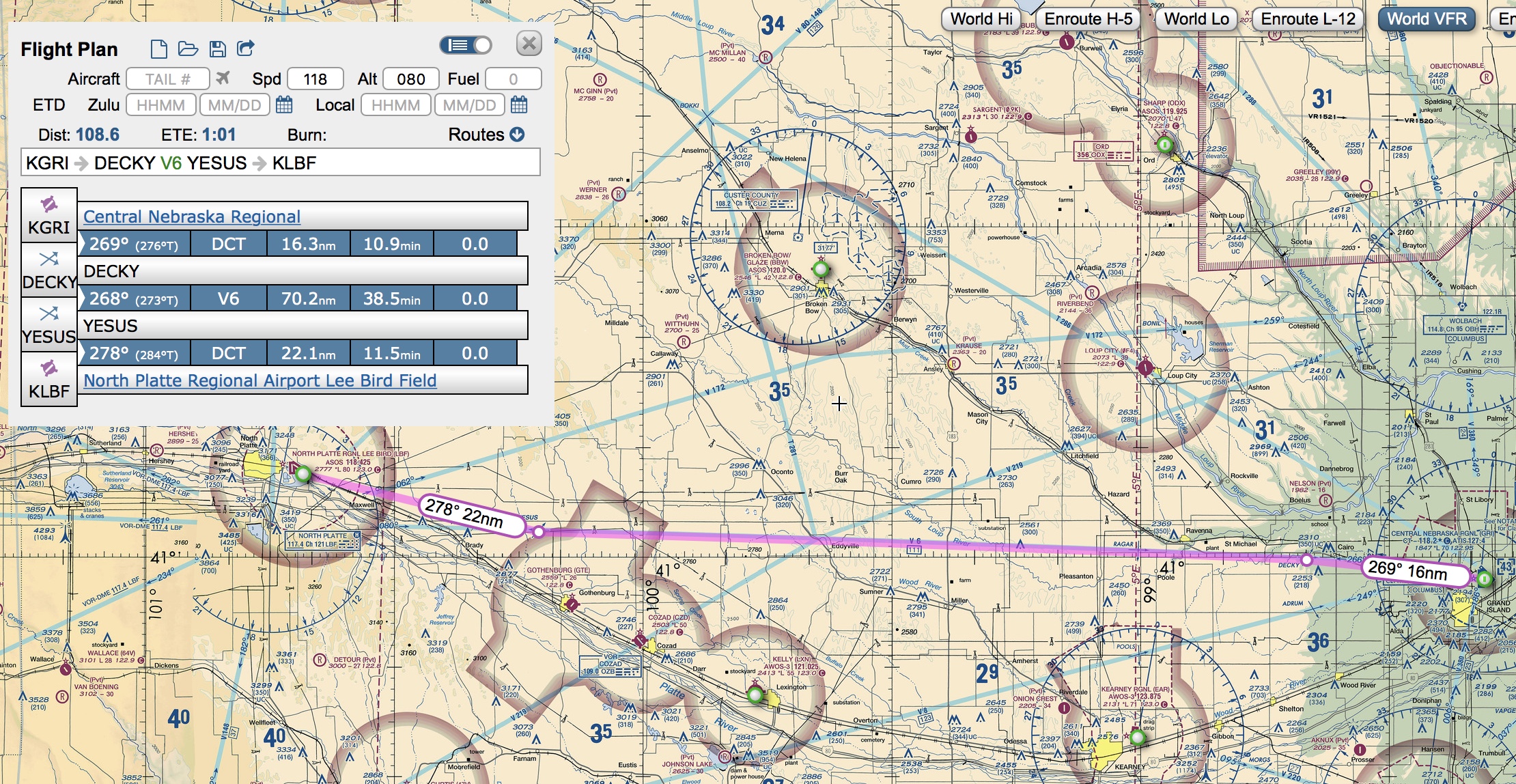
- Real weather will be enabled (X Plane will constantly download real-life weather for where I'm flying). This means some of my flights might get scrubbed for bad weather.
- Ortho (satellite) photos will be used for the entire route, so what you see is what it really looks like.
- I'll fly Just Flight's PA28 Piper Warrior II. Aside from a Garmin 530, its tech is old-school, with standard gauges and a very basic autopilot.

Warrior II cockpit. Top: exhaust gas temperature, indicated airspeed, artificial horizon, altitude, NAV1 course deviation indicator, Garmin GPS; Bottom: ADF indicator, attitude indicator, directional gyro, vertical speed indicator, NAV2 course deviation indicator. Fuel gauges on the bottom. That's about it. There's an autopilot which controls pitch, but doesn't control altitude or vertical speed.
- My flight plan has 31 airports mapped out in SkyVector. Since the Warrior 2 has a range of 500 nautical miles, there will be small hops with overnight stays before moving on to another leg.
That's it! I'm looking forward to the sights, and learning to navigate cross-country.
Stay tuned.

Thoughts on Ready Player One
The first time I read Ernest Cline's Ready Player One, I didn't read it. I was planning a twelve-hour car trip when I stumbled upon the audible version narrated by Wil Wheaton. The book concluded just as I returned home to my garage. I remember sitting there in my car an extra three minutes just to hear the conclusion. I liked it so much that I went and read the Kindle version.
RPO really connected with me. I'm the right age, growing up in the 80s, and loved all the geeky stuff which it loved. I played Zork on my Commodore 64, reveled in computer and video games, played with all the same toys, and cherished all the same tv shows and movies.
When I saw the announcement for the movie version directed by Steven Spielberg, I was excited, and a bit nervous. Would Hollywood squash everything that was great about RPO?
Yesterday I watched the movie version, and I was disappointed.
I knew the key challenges were changed, and this didn't bother me. The originals - playing through a Dungeons and Dragons module to beat a lich at a game of Joust, replicating the dialogue of War Games- were perhaps a bit too geeky for mainstream movie-goers. So, swapping these out with car races and the Shining were understandable.
Like so many movies the past decade, the art direction, visuals, and CGI are fantastic, but the writing at times was fodder for CinemaSins. Which is surprising, because Ernest Cline has a screenwriting credit for the movie.
I know, I'm a cliche with "the book was so much better." But, it's not that the book has more, it's that the movie was a rewrite, with non-sensical plot elements.
For example, in the movie (SPOILER ALERT):
Everyone seems to live in Columbus, Ohio, within a few blocks of each other.
Artemis and Nolan deduce Wade's identity and real-life location nearly down-to-the-second. Literally, seconds after Nolan blows up the stack, Artemis has a goon waiting to kidnap Wade (also…WHAT? Artemis has a goon waiting to kidnap Wade?)
When IOI attacks Artemis's secret location, Artemis shoos Wade into an escape hatch which leads to an alley. Even though it's been seconds since IOI crashed through the window, Aech, Daito and Shoto are waiting for him in a mail truck. I feel like there was some scene cut where Artemis contacts everyone in-game and says "Come here, I've got Wade" and IOI intercepts the message to find out where 'here' is. It's the only way this makes any sense.
Artemis lets herself get captured immediately by IOI to set up an unnecessary damsel-in-distress rescue
Nolan writes his password on a post-it note, and points out the chair with the post-it note to Wade, so Wade can later hack his account and set up the "we're still in the holodeck" trick.
The ending battle with Wade in the truck swaying and affecting his OASIS motion was right out of Inception.
Yes, I know, rants, but I drives me crazy when characters just materialize for no reason to pick up the protagonist, repeatedly.
A few things I liked:
In the book, it always bothered me that Wade was somewhat indifferent to Nolan's threat to blow up the stack, and to some extent almost dared him to do it (because he thought he was bluffing). The movie did a better job of having him try to save his aunt, as well as making the aunt and boyfriend unlikable.
The Shining scene and Aech's reactions to it. It seems unlikely Aech would not have seen the Shining, but still, it was fun.
Artemis has more character development.
A few big themes which got lost in translation:
In the book, the characters meet in person for the first time at Og's, where the climatic online battle occurs. The reveals - Aech's gender, Artemis's appearance, and even Wade's appearance (he's overweight and bald) - are a theme of the OASIS's "be anything" approach. The movie has these, but they're nearly incidental. In the movie, Aech just blurts out it's her in the ally a second before Wade jumps into the mail truck.
The global effort of the egg hunt. All of the main characters are from different places, not neighbors in Columbus, Ohio.
Poverty and classism. Touched upon in the beginning, slightly, but the book was permeated in the fact that Wade was poor, went to the Oasis public school, couldn't afford most of the things in the Oasis, and was generally at a large disadvantage in the egg hunt. It was contrasted nicely with IOI, which had nearly infinite resources. It was a great set up for the little guy winning with a shoestring budget.
Well, that's my rant. Curious what others thought of the movie.
Cutting the Cord
Living the dream of going cable free.
"I've paid twenty-thousand dollars to Comcast over the past ten years," my co-worker said, "and I just can't do it anymore."
Twenty-thousand, I thought, that can't be right.
It turns out that it's not right. My current Comcast bill is $301 per month. Times 12 months equals $3612 annually. Times ten years equals $36,210. You can buy a brand new Audi Q3 for $36,210.
Last year I tried to lower my bill (which is a bundle of phone, internet, and cable) by dropping premium channels, cutting channels, dropping phone service, and lowering internet speed. The result was $1 more expensive per month than my current bundle. This is because seemingly Comcast has a big flowchart which returns all options to the same price point.

My experience talking to Comcast customer service
So, I've been scheming and dreaming of how to go cable free. This week I started the grand experiment of cutting the cord.
When DirectTvNow offered a promo - subscribe for three months at $35 per month and get a free $179 Apple TV 4K, it seemed like a zero risk proposition. I'd already been thinking of upgrading my 2nd generation Apple TV to a 4K.
First, let me say WOW. The difference in picture quality between the 2nd Gen and 4K is amazing. Second, the addition of the full app store, including games, significantly changes the functionality of my Apple TV. I already have a MiFi controller for playing video games with my daughter.

Playing games like Asphalt 8 with a controller on Apple TV 4K is a surprisingly rewarding console experience
The Apple TV 4k comes with a small touch-surface gesture-swipe remote which has a basic wii-controller-style accelerometer. It has a Siri button, which I'm used to for Comcast voice commands, so that's helpful. It makes me miss my old remote, which had click-buttons instead of a touch-surface. I wish more companies would find the value in physical buttons and stop moving everything to touch gestures (especially for tasks where your eyes are somewhere else).

I don't know how many times I've picked this up upside-down. The top half above the menu is the swipe surface/clicker. The bottom half is for holding.
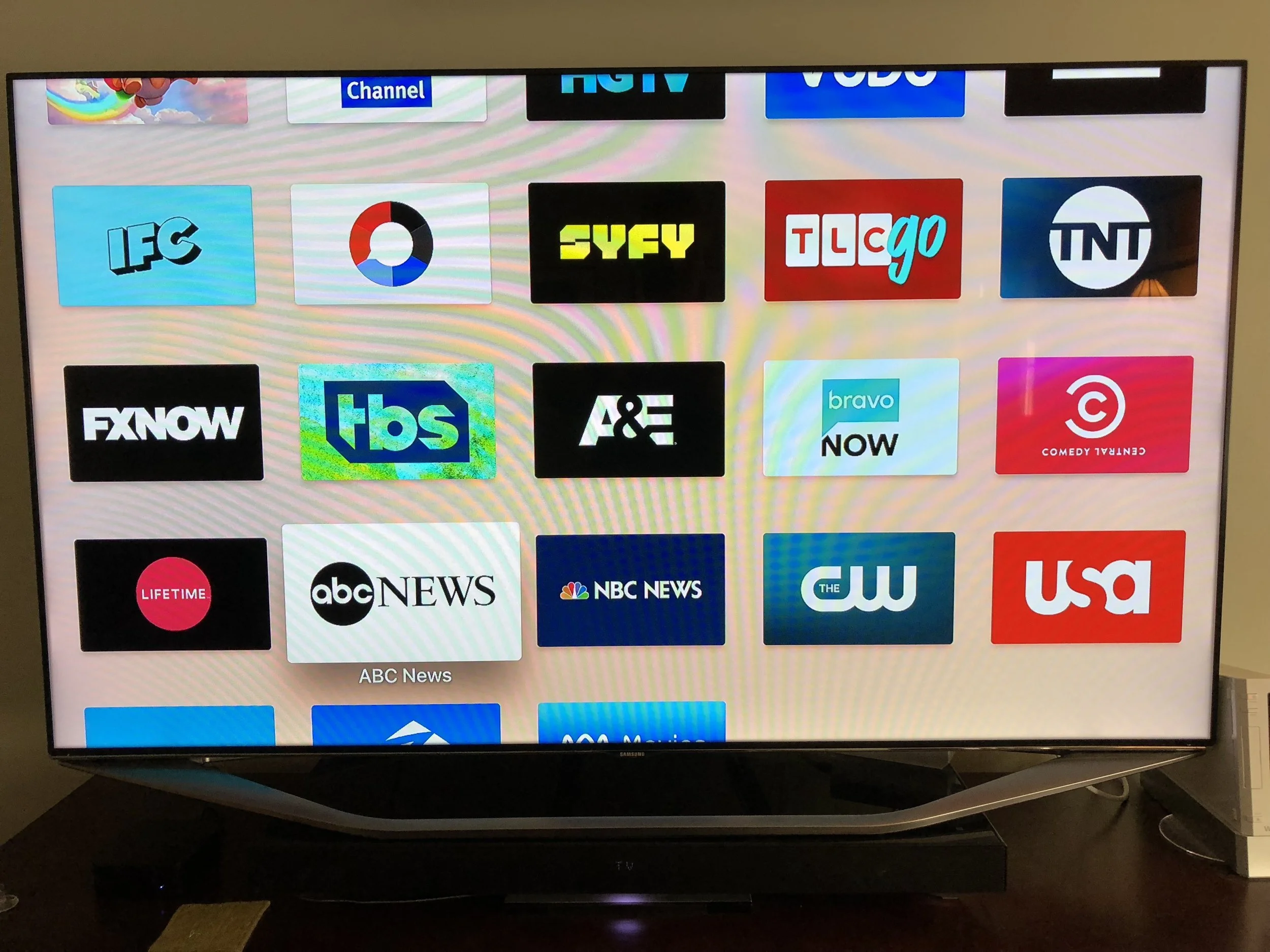
DirectTVNow works great. The experience is just like the cable guide you're used to. It also includes a basic cloud DVR service at no cost. Best of all, it counts as a cable provider, which means all of the network apps link with it. And, with Apple TV, there are a ridiculous amount of Network apps. You could easily watch all your usual channels without even opening the DirectTVNow app. In general, we just open the network app and stream whatever episodes we want of our favorite shows.
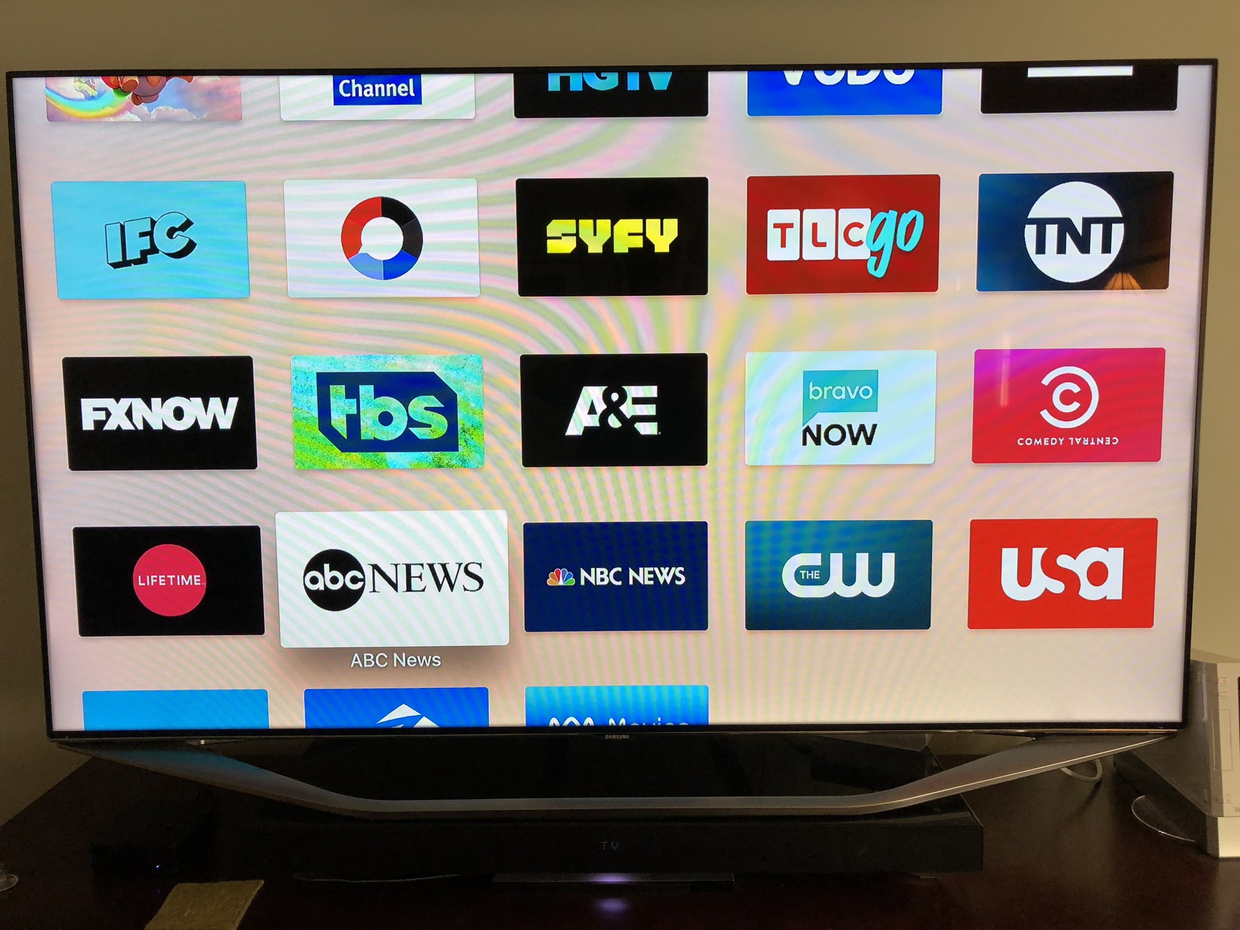
You have to register and activate every single app, then link them to your DirectTVNow account. Once you do, you can stream virtually every show on the network. Some even stream live TV.
Here's where I hit my first hiccup: local channels. Depending upon where you live, your local channels may not be licensed (yet) for streaming via DirectTVNow Where I live, only Fox is licensed.
Of course, the only thing you actually need to watch local channels is an antenna, so I purchased an HD antenna. To my surprise, it receives twenty-six channels over the air. Another surprise is that many of the network apps will stream your local channels. For example, the NBC app will stream your local NBC station live.
Next hiccup: No way to record over-the-air local channels.
Attempted solution: HD Home Run.
HD Home Run is a small box which you plug into your HD antenna and internet router. It then streams the signal to your TV (or other screens, such as iPad). The HD Home Run costs $99 and the Channels app costs $24.99. If you want to add DVR functionality, the subscription is $35 per year.
So, I bought one. And, it sucks.*
First of all, even though the HD Home Run is a wifi streaming device, you cannot wirelessly connect to it. You must use an ethernet cable to physically plug it into your router. This means you must relocate your HD antenna to wherever your router is located. In my case, this was in my basement, which is a bad place to receive antenna signals.
Second, the DVR service isn't a really a service. By "service", they mean that if you stream your content to your Mac or PC, they will enable the record feature in their software on your Mac or PC, which will turn your computer's hard drive into a DVR. The instructions are to keep your computer on 24/7 and disable sleep mode. Also, you probably should not have a notebook computer, like I do.
So, I'm returning it.
There's literally one show I want to record on broadcast tv. I could by a Tivo, but $400 seems overkill for one show. I may just sit tight until DirectTV gets licensing for NBC.
Anyway, otherwise I'm pleasantly surprised and very happy with my cord-cutting experiment. I'm going to run parallel paths - keeping my cable subscription for the month until I'm sure there's no other hiccups, but I can see myself living the cable-free dream.
Edit:
* HD Home Run is actually a very good streaming media device, and integrates nicely with apps like Channels to let you watch live OTA TV through your Apple TV. I just find its DVR software clunky, not well-integrated, and not what I'm looking for as a DVR solution.

Erebus - New Cover Art
Erebus has new cover art.
Erebus has new cover art! The novella is available as a 99 cent standalone or as part of the Haydens World: Volume 1 bundle.
