Pixel Plane Day 9 - Wahoo
I catch breakfast at Red Oak's Feedlot Restaurant, then check out the Burlington Northern Depot and WWII Memorial Museum. After that, I'm back in the air enroute to Wahoo, Nebraska.

The most direct route is over Offut airforce base. A check of my sectional map shows this to be Class C airspace (indicated by the solid magenta circles on the map).

The numbers 50/SFC and 50/25 tell me the airspace extends from the the surface (SFC) to 5000 feet (50) near the airport and from 2500 feet (25) to 5000 feet (50) in the outer ring. It's a bit like a mushroom-shaped column of air. I can fly under the mushroom dome, until I hit the stalk, over the mushroom, or around it. Or, I can contact ATC and request clearance to fly through it.
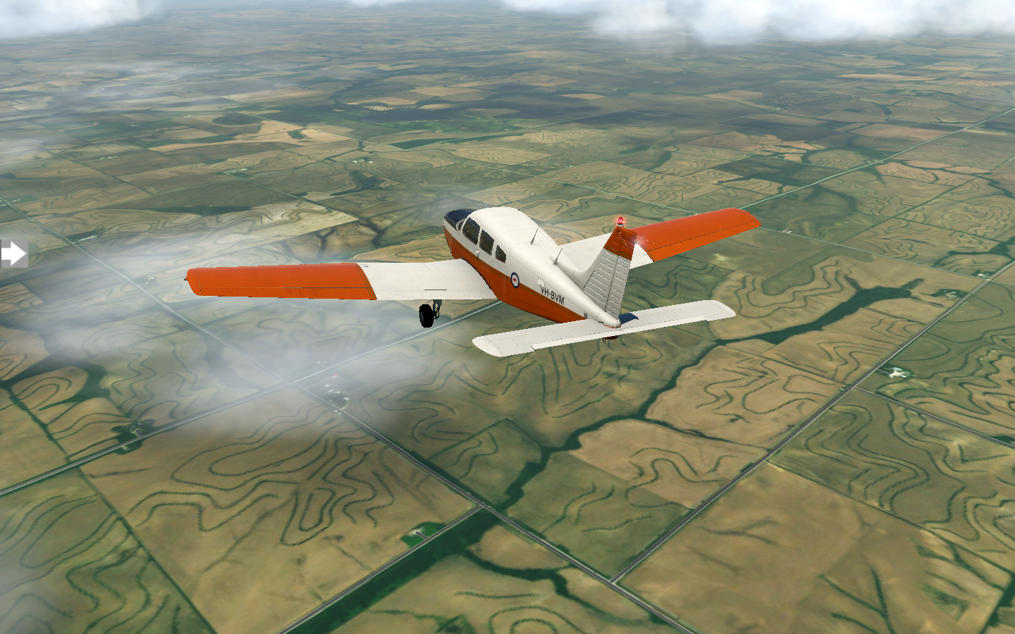
I make all the wrong choices. I decide to fly at 6000 feet over the Charlie airspace, to avoid entering it. Sure enough, I'm flying VFR and encounter scattered clouds at 6000 feet when I'm over the heart of the controlled airspace, ending up contacting ATC to descend and enter. My other option was to do a one-eighty. I'm nearly at the transition of the inner to outer ring, so they direct me down to 2000 feet, which will take me below the airspace and clear of the clouds.
In hindsight, a much better plan would have been to route south via Plattsmouth, avoiding the airspace altogether.
I pass a wind farm, turbines turning slowly on endless plains.

Wahoo, Nebraska comes in to view. I can tell I've found the municipal airport because someone has painted the letters WAHOO on the roof of one of the airport buildings. I grab some lunch at Chip's before prepping for my next leg to KGRI Grand Island.
Point of Order: The XPlane Piper Warrior II model I'm using for my flight has a Bendix/King KT76A transponder. If you look closely at my cockpit screenshots, you'll see there's a "NO MODE C" sticker beneath the transponder. For purposes of my cross-country trip, I'm assuming I replaced it with a KT76C (or something newer) to have Mode C, which reports altitude to ATC and is required to enter Class B and C airspace. Otherwise I would not be able to land at my destination, KSFO San Francisco, or Chicago O'Hare, which are both Class B airspace.