
Pixel Plane Arrow III - Day 9 - Milan, Genoa, and Nice
My Italy adventure comes to an end as I cross the country to Nice.
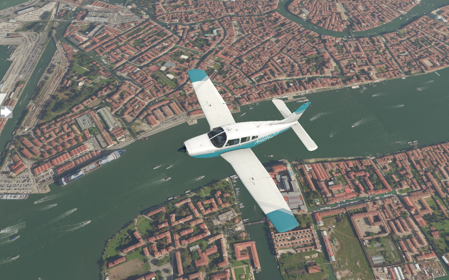
No trip to Venice would be complete without a gondola ride along the Grand Canal. From there, I visit Doge’s Palace and Saint Mark’s Square and Basilica. Sometime near three I head back to the airport and prep for my trip to LIML Milan Linate Airport. After takeoff, I do a flyover of Venice, following the canal.
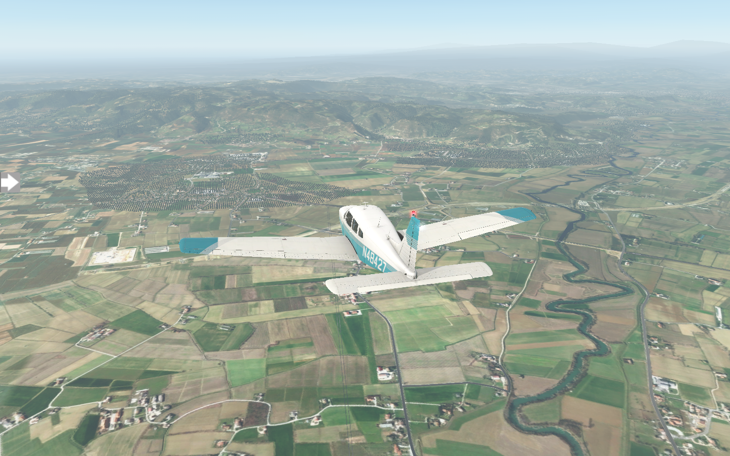
The first leg is rural with fields and scattered houses.
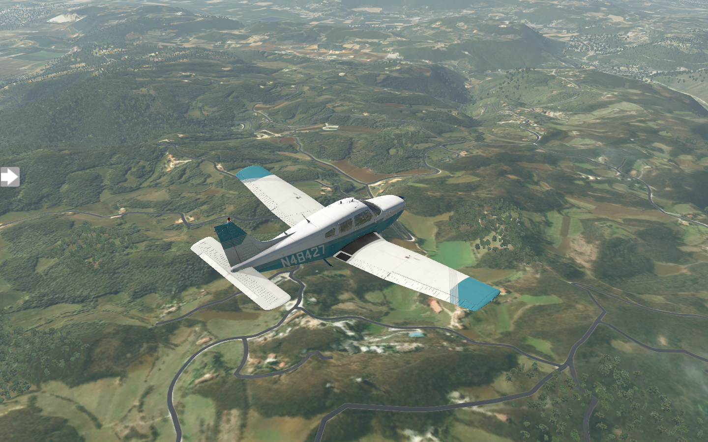
Later, it turns hilly as I grow nearer to Milan.
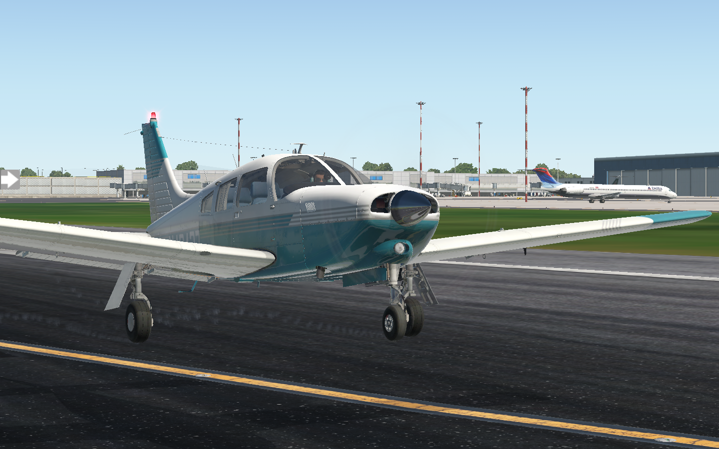
I set down at Linate Airport without any issues.
Here, I visit Piazza del Duomo and see the gothic Milan Cathedral. It was constructed in 1386 but not completed until 1965. A half-millennia project - now that’s impressive. Next, as a great fan of da Vinci, I visit the Leonardo da Vinci National Museum of Science and Technology. I get some dinner before seeing an actual opera at La Scala Opera, then call it a night.
The next morning I have a sunrise flight to LIMJ Genoa Cristoforo Colombo Airport. The horizon is an orange band as I take off.
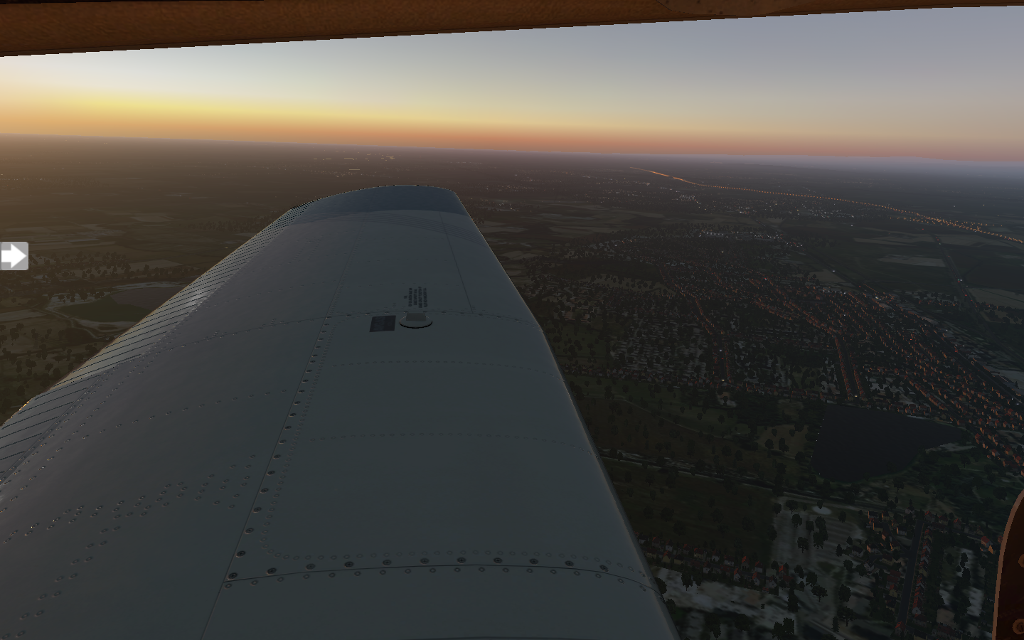
Wispy cirrus clouds drift across an otherwise clear sky.
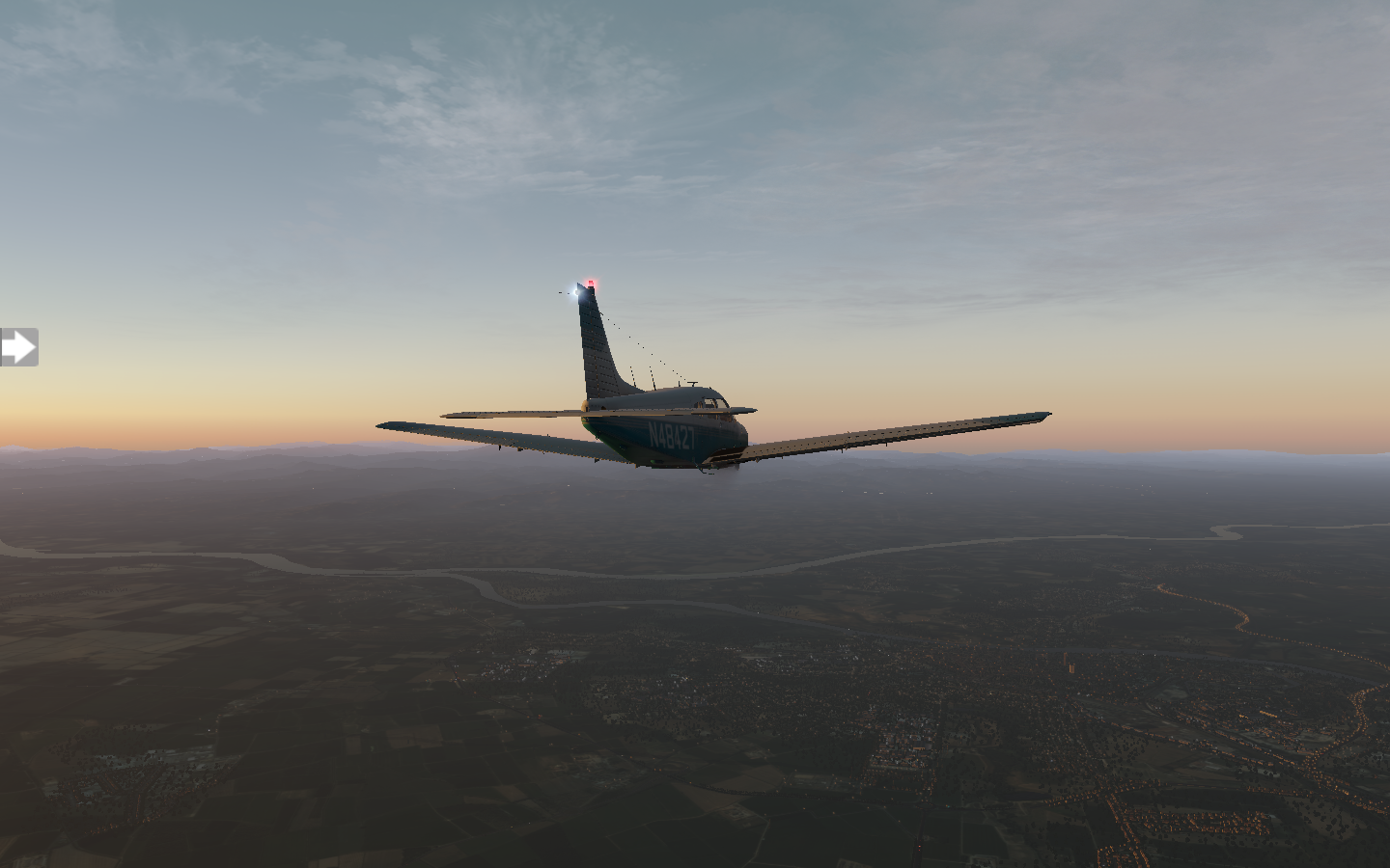
Soon, I am crossing the western coastal mountains once again.
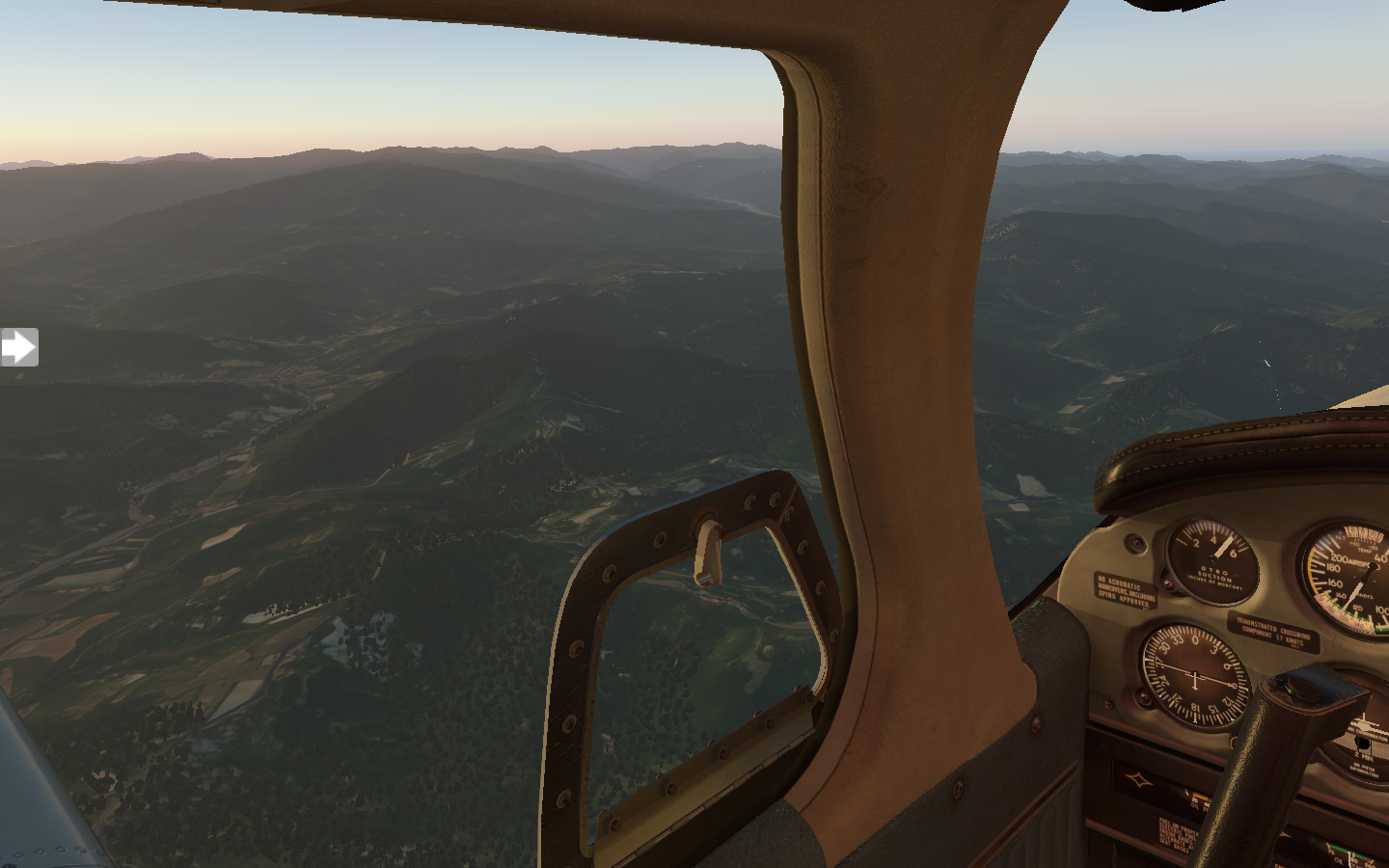
As I clear them, Genoa’s airport is nestled right along the sea.
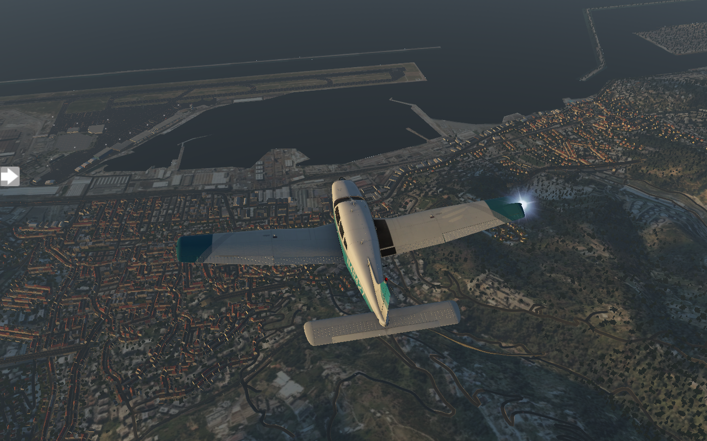
I fly a loop and come in along the coast, setting down. Here, I visit Genoa Harbor and the Maritime Museum before heading off to Piazza de Ferrari and Porta Soprana. Lunch is at Fuori Orario. In the afternoon I prepare to leave Italy. The flight will be straight along the coast to LFMN Nice Cote d’Azur. Scattered clouds rolls in as I fly alongside coastal mountains.
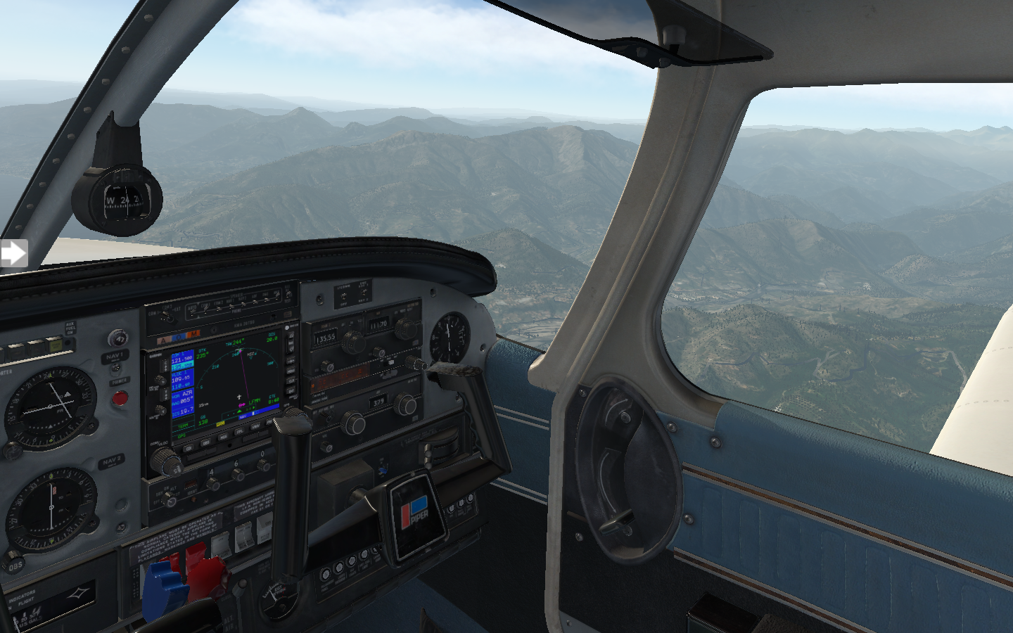
The time passes quickly and soon the red houses of Nice come into view.
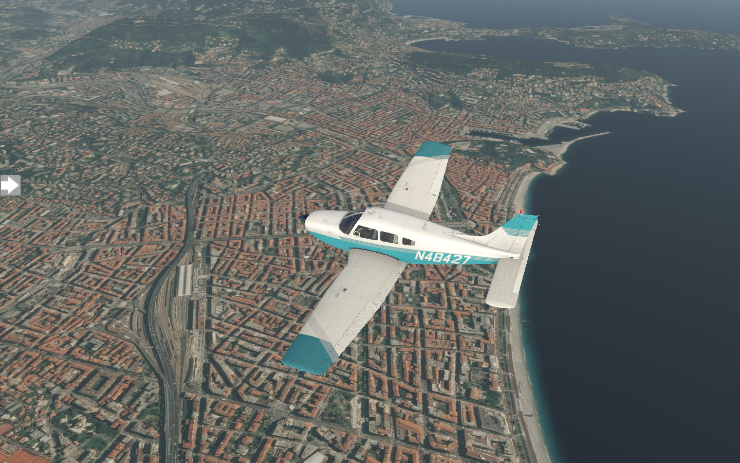
I set down at LFMN, admiring the beauty of the Azure Coast.

Pixel Plane Arrow III - Day 8 - Bologna and Venice
A mountain crossing, a winding river, and a sinking city.
As I leave Pisa, I’m a bit nervous with the mountain crossing planned for my next leg. Italy’s mountains run the full length of the coast, and, if I want to get to the other side where Bologna is, I’ll need to cross them. They are relatively low compared to the mammoth peaks I faced in the middle of the United States, so flying over them in my Piper won’t be a challenge. The real issue is that, in the event of an emergency, there’s no good place to set down.
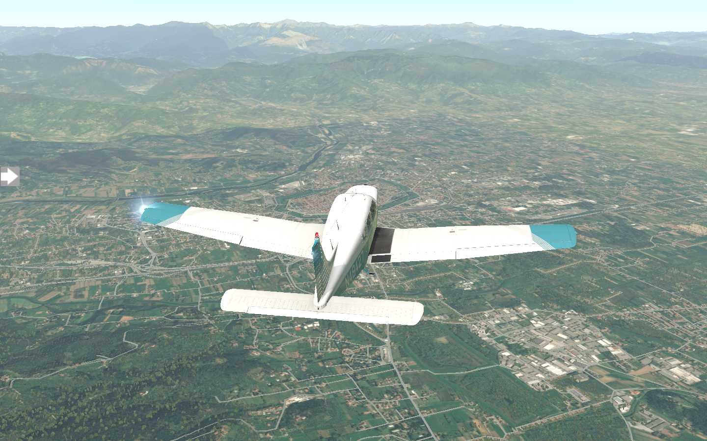
As I cross over the peaks and stare back at the green slopes, I breathe a sigh of relief.
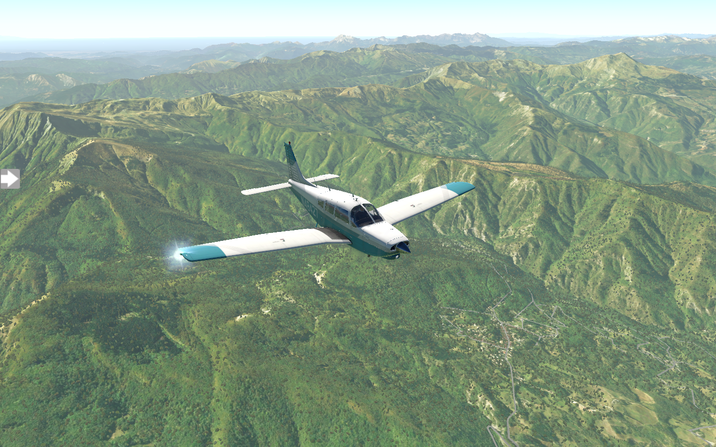
The trip to LIPE Bologna Guglielmo Marconi Airport is 64 nm and takes forty minutes. The airport is named for Guglielmo Marconi, the famous engineer who invented the radio.

Once in Bologna, I visit Piazza Maggiore, wandering to Piazza del Nettuno and checking out the Fountain of Neptune. Next, the Piazza di Porta Ravegnana is home to two leaning towers which have names - Asinelli and Garisenda. Asinelli is taller than Pisa’s. Lastly, I grab a dish of tortellini at Trattoria di Via Serra. With a full belly, I head back to the airport.
Scattered clouds roll in, but the weather shows a ceiling of 6500 feet. I’ll keep at 4500. Visibility is good at twenty kilometers. When I take off, puffy clouds dapple the sky.
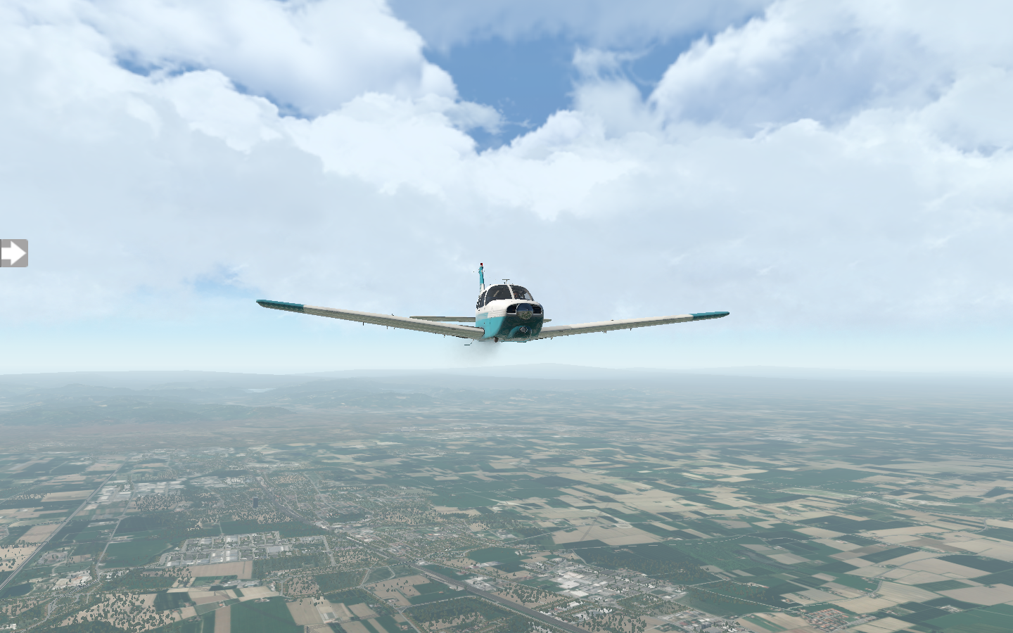
A patchwork of green and straw glides beneath me.

As I approach the halfway point, the Po River snakes east. I follow it towards Venice.

As I approach LIPZ Venice Tessera Marco Polo airport, the waters turn azure and sea green with sinuous channels.

One I set down, I find another pilot prepping a twin-engine Piper PA34 Seneca V. He’s Italian, but speaks fluent English, and has two female passengers who seem more like friends than customers. We get to chatting and I offer to kick in some gas money if he’ll take me up with them.

The Seneca’s cockpit is fairly modern — not as high-tech as the Cirrus SR22 I saw in Florence — but still much more advanced than my 70’s-era Arrow.

We take off and fly over Via della Liberta, Venice to our left.

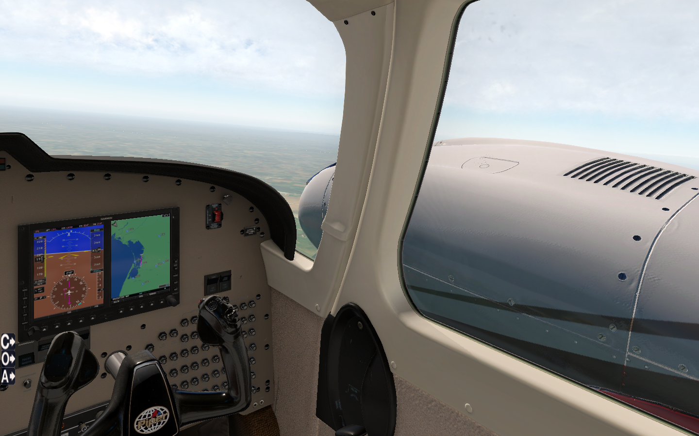
It’s a beautiful plane, but I still prefer my Arrow for sightseeing. Those huge 220 HP engines extend well past the cockpit, giving me a view of nothing but propeller when I look out from the co-pilot’s seat.

Pixel Plane Arrow III - Day 7 - Pisa
A sunset trip to Pisa.
Because I’ve previously seen all of the architectural sights, I decide to spend my time in Florence touring the Uffizi Gallery. With works by Botticelli and Da Vinci, you can’t go wrong. Botticelli’s Nascita di Venere (Birth of Venus) is here, a work which everyone will immediately recognize depicting a naked Venus standing on a clam shell. Botticelli lived in Florence, so the Uffizi Gallery is dominated by his work. I eat my dinner at Trattoria Da Burde Firenze, then I’m in the air for a sunset flight to LIRP Pisa International Airport.
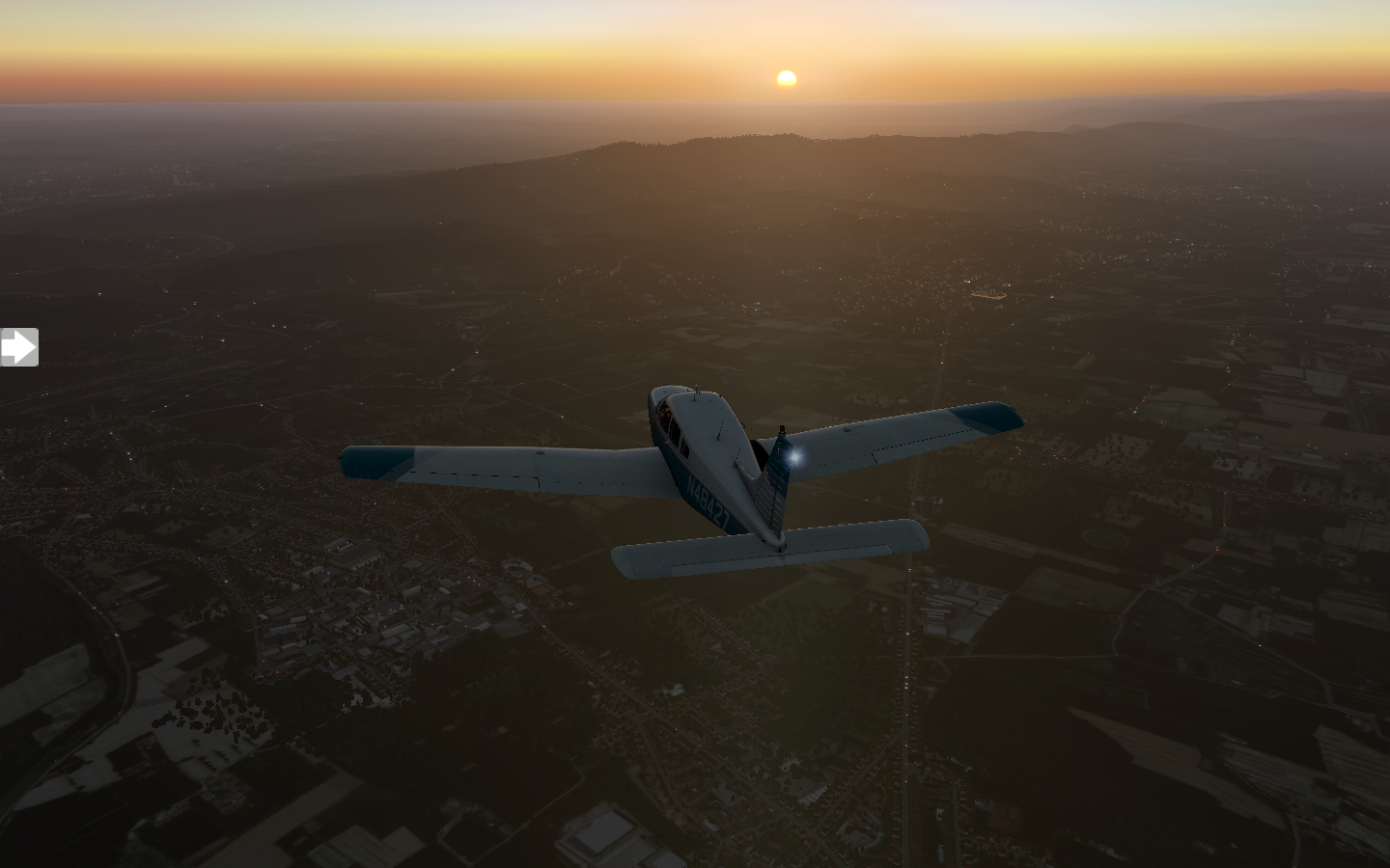
The Pisan Mountains pass to my right, but most of the journey is over flat land.

Pisa’s lights glimmer as the day’s last light fades. The Arno River continues to snake its way toward the ocean. I could have visually followed it from Florence and arrived at Pisa.

Soon I’m lined up with runway 4L, setting down gently,

Tomorrow morning I’ll catch a taxi across the Ponte Solferino bridge and follow Villa Roma to the Piazza del Duomo. There’s I’ll find the Cattedrale di Pisa and the well-known leaning tower. The area surrounding it is very modern, and I recall when I was here in 2003 just how much of a juxtaposition the plaza was compared to the neighboring houses. When I was last here, it was a brilliantly cloudy day with intense sunlight which made for sharp black and white photos.


I head to my hotel for an overnight stay. I’ve got a little sightseeing planned before tomorrow’s trip to LIPE Bologna Guglielmo Marconi Airport.

Pixel Plane Arrow III - Day 6 - Perugia and Firenze
I arrive in Florence, and get a ride in a half-million-dollar plane.
After spending the day in Rome, I awaken the next day and eat a breakfast panini accompanied by a cappuccino. I just can’t get enough of the coffee in Italy. When I head to the airport, there’s blue skies and puffy clouds. I’ve got a short 78 nm flight to LIRZ Perugia San Francesco d'Assisi – Umbria International Airport.
Green and ochre fields greet me at the start of the journey.
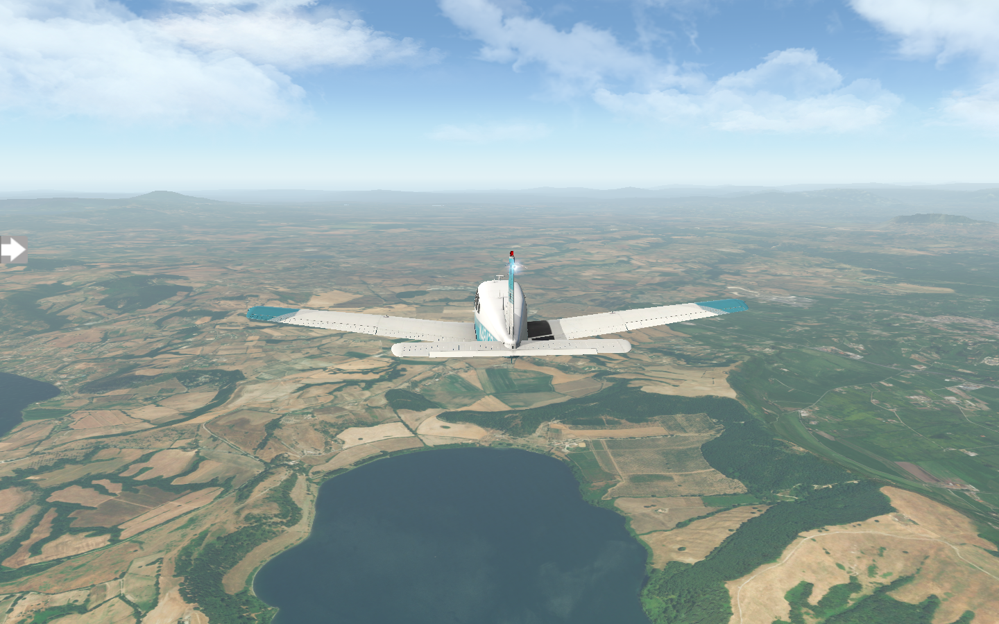
Soon towns dapple the landscape.

The vegetation becomes lusher, greener, as I approach my destination.

After landing, I visit Piazza IV Novembre in Perugia. The Cathedral di San Lorenzo in the Piazza took two-hundred-and-thirty years to complete. I try to imagine a modern-day project planned for a such a duration. I get something to eat at Borgomela, then I’m back in the air. The trip to LIRQ Firenze Peretola Airport is nearly the same length, covering 71 nm.
I skirt along verdant mountains.

In no time, I’m lined up with Florence’s field.

As I’m walking away from my Piper on Firenze’s apron, I spot another American pilot inspecting his plane. We start up a conversation and I tell him about my Italy tour, Tomorrow he’s heading west to Nice, but he’s about to do a little VFR sightseeing over Florence. His plane is a Cirrus SR22, a half-million-dollar marvel of modern technology, I admire its graceful beauty.

He asks if I’d like to fly along for the ride. I’ve never been in an SR22, and accept. Inside, it's posh, with a dashboard comprised of two computer screens. Both pilot and co-pilot controls are single-handed joysticks. It’s like being in a two-seat spaceship.

He points up to the Cirrus Airframe Parachute System (CAPS). In the event of an emergency, the plane can deploy a parachute and float to the ground. I ask him what he thinks of it. He says Cirrus’s statistics state there have been ninety-six deployments of the system, with one-hundred-eighty-six survivors. It’s nice to have the option.

We file VFR and takeoff. The Cirrus accelerates quickly with its 310 HP engine. Soon we’re flying over Florence, following the Arno River south. The famous bridge, Ponte Vecchio, passes beneath us. The last time I was here in 2003, I snapped a picture of it from the river bank.


Nearby, the dome of the Cathedral of Santa Marie del Fiore is easily spottable just behind our left wing.

I recall the rust-colored dome visible from the busy Florence streets when I was last here.

We finish our aerial circuit and return to the airport. I thank him, and wish him well with his travels. I’ll be at Nice myself, but not for another week or so, after I finish my Italy tour. For now, I head over to my hotel and consider where to visit first.

Pixel Plane Arrow III - Day 5 - When in Rome
I return to Rome, and remember my last trip fifteen years ago.
I spend some time in Naples touring the Castel dell'Ovo before just getting lost strolling the endless Via Toledo. After lunch at La Masardona, I’m back at the airport. It’s sunny and clear as I fly the 107 nm course from LIRN to LIRF Roma Fiumicino Airport.

This landscape starts as a patchwork of clays and greens.

Soon it changes to grassy fields.

The airport comes into view, but I’m not ready to land yet. First, I’ll fly northeast for a bit of aerial sightseeing over Rome. I’ve been here, twice, in 2001 and 2003, and I’m curious to see how it looks from the air compared to on foot.
Rome is bisected by the Tiber River, with the Vatican on the north side, west of the river, and the Colosseum east of the river in the heart of the city. Saint Peter’s Square and Saint Peter’s Basilica are the first to come into view. Inside is the famed Sistine Chapel. When I was there, I recall shushers — men who instructed the crowd of tourists to keep quiet and show respect — and Swiss Guards who would look at place in a Renaissance Faire wielding actual halberds.

Next, I head east towards the Pantheon. From the air, it’s a dome with a hole in its roof.

On foot, it looked a bit more dramatic.

A bit further east is Trevi Fountain. For luck, you’re supposed to sit with your back to it and throw in a coin over your shoulder.

Further south, the white marble of the the Altar della Patria is visible.

Just beyond it lies the ruins of the Roman Forum, which terminate at the magnificent Colosseum. I recall walking those ruins on a warm autumn day.


Having satisfied my curiosity, for now, I turn my Piper into a lazy loop, heading back towards Roma Fiumicino Airport. The day is still young, and there’s endless things to do.

Pixel Plane Arrow III - Day 4 - In the Shadow of Vesuvius
I skirt past Mount Vesuvius on my way to Pompei and Naples. and think about the time I visited the ancient doomed city.
I spend the evening in Salerno, strolling along the Trieste Lungomare and eating seaside at Casamare Via Porto 31. When I awaken the next morning, I lay out my map and plot my course. Route E45 continues to travel where I want to go, so I’ll fly by eye and follow the road from Salerno to Naples. At forty-one nautical miles, it’ll be a short flight.

I lift off shortly after breakfast, the morning sun rising.

E45 winds along the mountains.
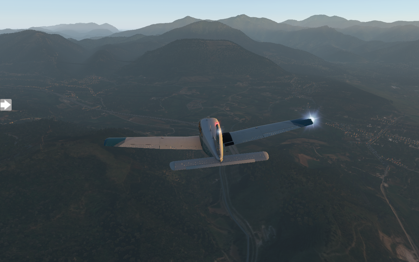
Red-roofed houses gleam in the morning sunlight along the Amalfi Coast.

Soon, I fly over Pompei. I’ve been here, long ago, on a rainy day trouncing amongst the ruins. I recall the plaster casts of people entombed in volcanic ash and the looming proximity of the Goliath of Vesuvius. Perhaps it was the rain, or the gloom, but it felt solemn, quiet, like visiting a graveyard.


As the memories play in my mind, Vesuvius appears off my right wing.

Soon after, Naples comes into a view, a sea of buildings dominating my view.
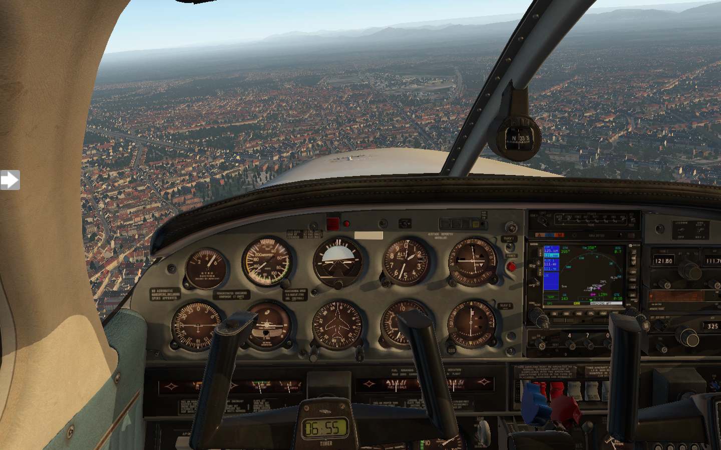
When I set down at LIRN Naples International Airport, Vesuvius still lingers, watching.


Pixel Plane Arrow III - Day 3 - Lamezia and Pontecagnano
I visit Lamezia and the Amalfi Coast, taking a literal road trip for part of it.
The next morning I awaken and grab a cappuccino. Walking around Reggio Calabria, it’s impossible to miss the thousand-year-old castle, Castella Argonese, and I spend some time sightseeing before heading back to the airport. Just after nine I’m back in the air.
Today it’s a bit cloudy with light gusts, but the view along the coast continues to be spectacular.

As I fly, I’ve been working on getting my trim set up just right. When it’s dialed in perfectly, the plane flies straight and level with no effort needed from me on the controls. The trim wheel is located on the floor between the pilot and co-pilot’s seats.

The landscape gives way to carefully delineated fields.

The sky is full of puffy cumulous clouds which I need to keep an eye on to maintain my minimum VFR separation, but there is plenty of breathing room between them and the ground.
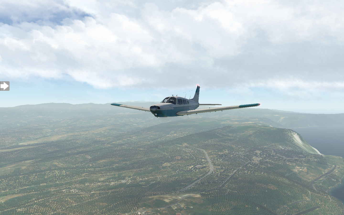
Lamezia Terme International Airport is along the coast and I approach from the water. A nine-knot crosswind keeps me on my toes for my landing, but soon I’m on the runway.

I spend the next two hours exploring Il Giardino Botanico di Lamezia Terme and getting lunch at Novecento, then I’m back pre-flighting my Piper just after noon.
For the next leg, I’ll be flying to LIRI Salerno Costa d'Amalfi Airport. The most direct route is a 120 nm straight line spending half of the journey over the ocean.

But I didn’t come to Italy to see the water. So, instead, I’ll be doing something a little more adventurous. Route E34 is a 305 km (164 nm) winding road through the mountains, connecting the two airports. If I follow it, I can navigate by sight, and see some beautiful scenery along the way. There’s no navaids - no VORs or NDBs - just my eyeballs and a road. Should be fun.

At first the road follows the coast, but soon it turns east, into the mountains. The first half of the trip has me flying over populated areas with plenty of open space to land in the event of an emergency, and I feel relaxed.

But soon the mountain appears ahead.

I turn west and follow the road into the valley.
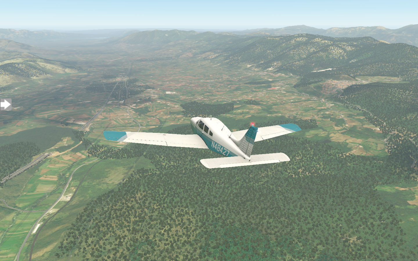
The mountains flatten as I approach the coast.

Salerno Costa D’Amalfi Airport appears ahead on my left, the ocean not far beyond it. I breathe a sigh of relief as my wheels touchdown.

Pixel Plane Arrow III - Day 2 - Comiso, Cantania, and Reggio
Volcanos loom over me as I leave Sicily and cross the Strait of Messina to continental Italy.
I spend my early afternoon in Comiso, strolling to the center of town and touring the Chiesa di Santa Maria delle Stelle before grabbing a late lunch at Cantunera. I’m back in the air by four en route to LICC Vincenzo Bellini Airport. The landscape turns green with grassy fields and pastures along the way.

As I draw nearer, the towering volcanic peak of Mount Etna looms dark against the horizon.

The airport leads right out to sea, nestled in the city.
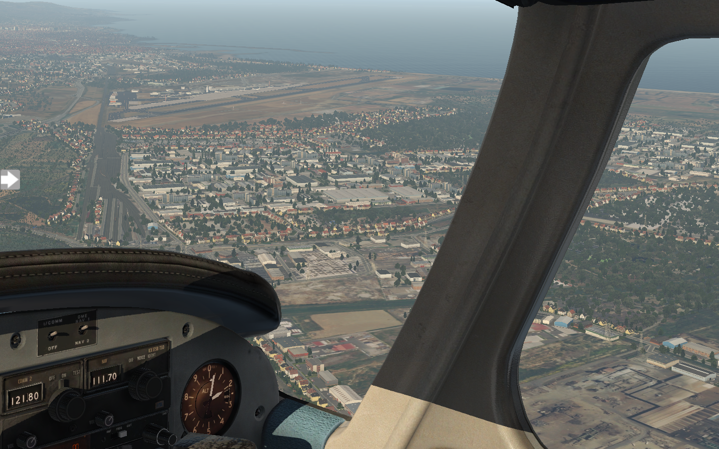
I get my approach wrong, coming in too high, and need to do a flyover of the airport. I make left pattern traffic and loop around, setting down cleanly. From the apron, Etna dominates my view.

I only have two hours here, so I visit Piazza Duomo and ask a bystander to snap a picture of me in front of the elephant fountain. After grabbing a snack from a street vendor, I’m back in the air again as the sun grows weary. The sky is a volcanic red as I skirt past Etna.
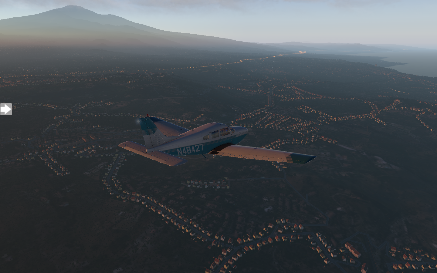
The sun sets behind Sicily’s rolling mountains to my left.

The transit across the Strait of Messina from Sicily to continental Italy is short, with both shores visible at all times. LICR Reggio di Calabria "Tito Minniti" Airport is also along the coast, its lights a welcome beacon,

The sky is awash in gold as I glide in for a touch down.

I head on over to Buono Calabria for dinner. I’ve worked up an appetite from all of the travel, and my mouth is watering at the thought of some pasta.

Pixel Plane Arrow III - Day 1 - Malta
Pixel Plane starts a new journey. Day 1 - Malta
Editor’s Note: Earlier this year, I wrote about a project to virtually fly across the continental United States in a Piper Warrior II in the flight simulator X-Plane. That project ended when I landed my plane at its final destination in San Francisco. Along the way I learned about aviation and navigation along with countless interesting facts about the thirty-seven airports I visited. Now, it’s time for a new plane and a new location.
Pixel Plane Arrow III - Day 1 - Malta
The Sun blazes overhead as I finish my pre-flight inspections of the Piper PA28R Arrow III. Malta’s International Airport looms to my left.
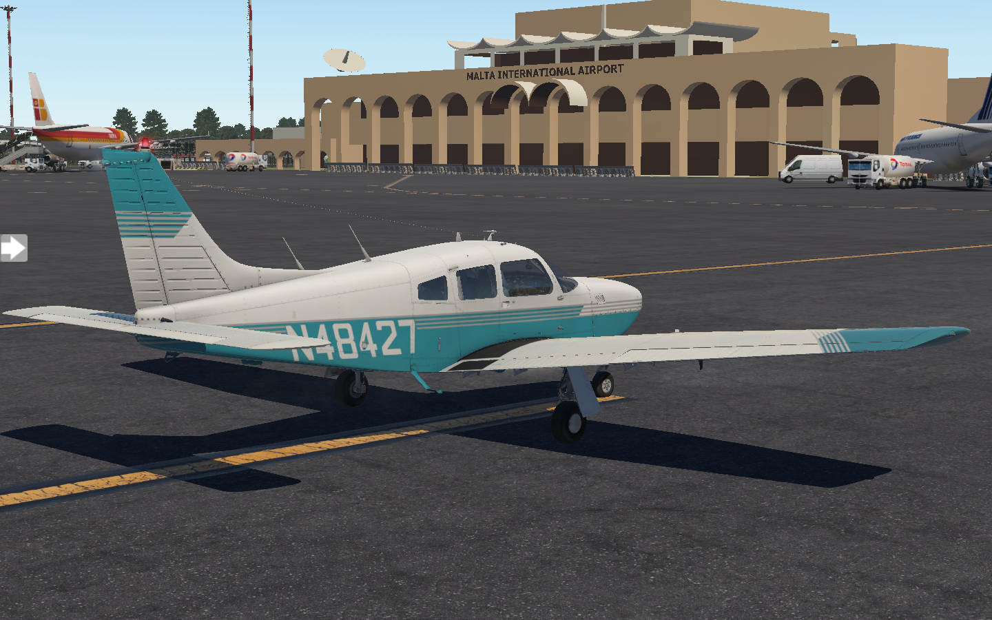
I step up onto the wing and enter the cockpit. It’s sweltering in here, and I leave the door open, cracking the small window on the pilot’s side to let in some air. An Air Malta heavy taxis a distance ahead of me, and I watch it through the cockpit windows.
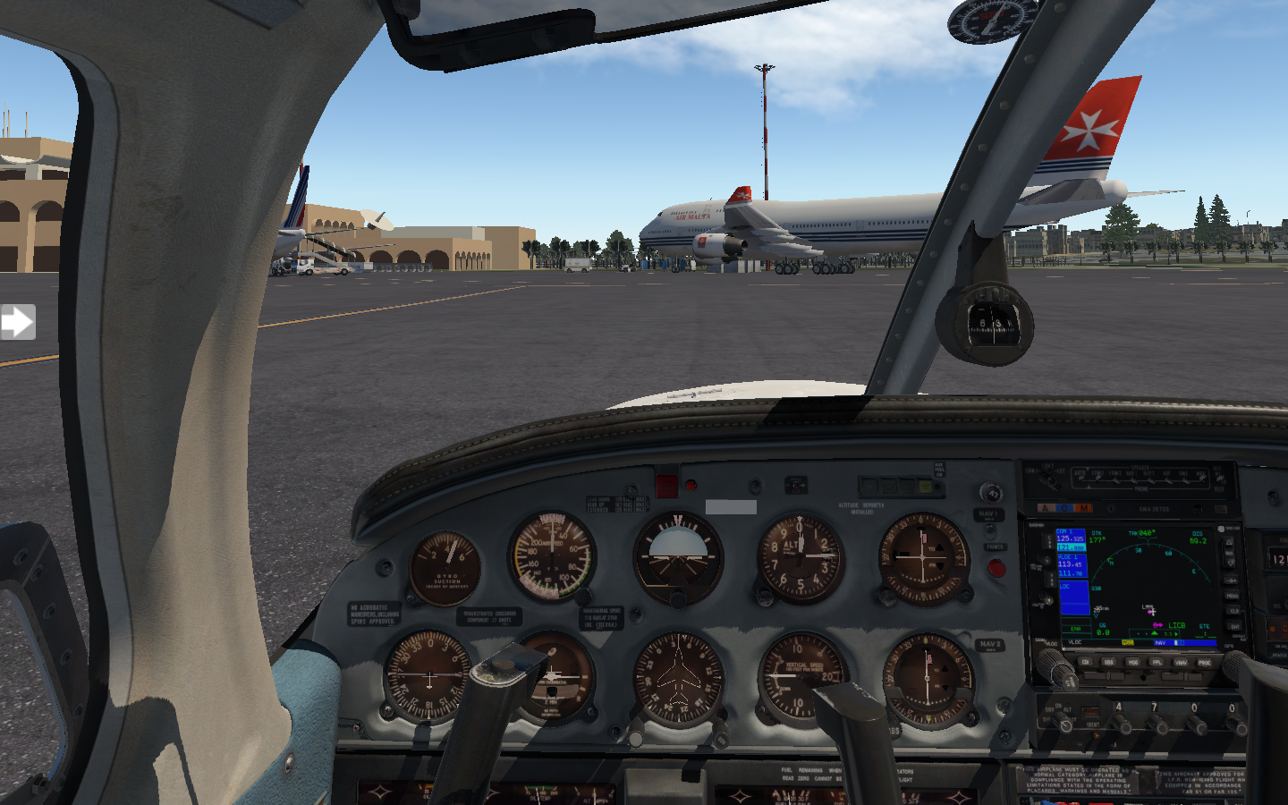
After going through my checklist, I set up the NAVs and heading bug then dial in my destination in the Garmin. First, I’ll do a complete coastal circuit around Malta for some sightseeing, then I’ll fly direct to LICB Cosimo in Sicily. That’s nearly forty-minutes over open-water travel over the Mediterranean Sea. I glance to my right. My life vest sits on the passenger seat and on the floor is an inflatable raft. In a water-tight bag rests a satellite phone and a VHF radio. I hope I don’t need to use any of it.
I get my clearances and taxi to the runway. It’s just before noon, with blue skies and high cumulus clouds. In no time, I’m rumbling ahead and rotating up into the sky. From the air, Malta’s landscape looks assembled, like paper mâché strips were pasted over a form to create a model. Azure waters bracket the island in all directions, salted with sailboats.

Cliffs rise up from those crystal waters.

When buildings appear, they’re old, organic, following sinuous lines.

To the north, cruise ships and hotels dominate the land.

I’ve been here in real life, sixteen years ago, and I remember the blistering sun on my shoulders as I hiked up the rocky cliffs. The view was spectacular. Afterwards, my boat stopped at the Blue Lagoon, where I dove off and swam in the clear waters.

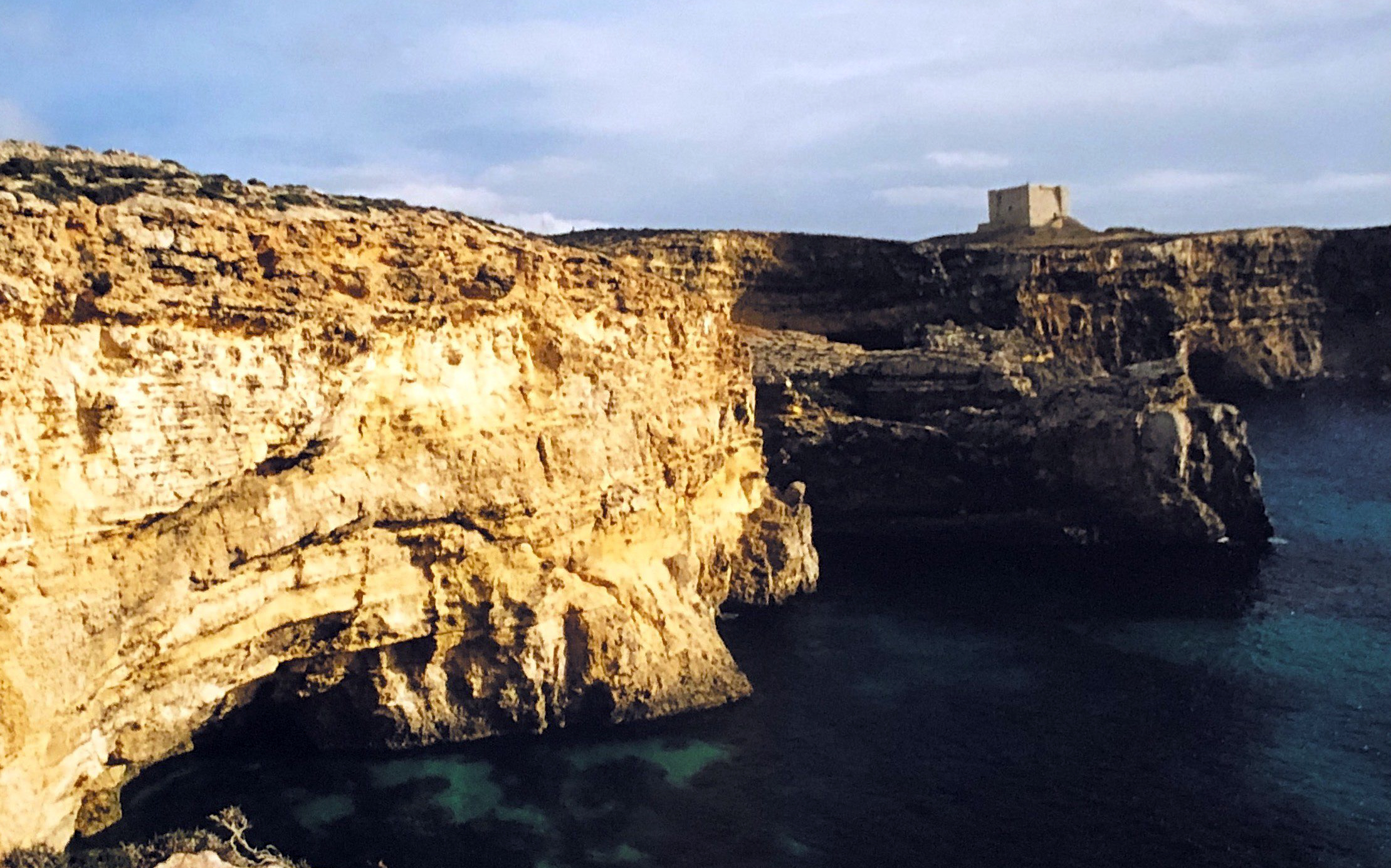
Once I complete my island circuit, I ascend to forty-five hundred feet and leave Malta for Sicily. I’m a bit nervous as the safety of the island falls behind me.

Soon there’s nothing but blue-gray water surrounding the plane.

Finally, lands comes into view, and I’m over Sicily. It’s rural and sparsely populated where I’m flying.

Comiso Airport’s runway comes up quickly as a descend, and I set down smoothly. The Piper Arrow III is very similar to the Piper Warrior II I flew in the United States, and it feels, in many ways, like the same plane. The most notable difference is that it’s turbo-charged and faster, has retractable landing gear, and a variable-pitch propeller which adds feathering controls beside the throttle. As I taxi to parking I consider how I’ll spend the next few hours exploring Comiso, before doing a late-afternoon flight to LICC Cantania.
Pixel Plane Technical - X Plane Setups
How to have your own virtual cross-country adventure.
For the X Plane fans out there, I thought I'd share my setup for my recent coast-to-coast Pixel Plane project.
A few basics:
- My computer is a 2016 13" MacBook Pro with a 240 GB SSD hard drive, 2 Ghz i5 processor, 8 GB memory, and an integrated Intel Iris 540 graphics chip with 1536 MB memory. Surprisingly, this runs X Plane moderately well. My graphics settings are:

On the most part, I ran vanilla X Plane. Here's the small list of tweaks:
- I downloaded satellite photos from Bing using Ortho4XP. By far, the biggest improvement you can do for X Plane is to use ortho photos. These use up a lot fo disk space, though, so in my case I'd download a set for the next three airports and delete the previous set.

- I added MisterX's free KSFO and KLAX airports, available from the X Plane forums
- I used MisterX's Airport Environment HD, HD Forests, and SierraPappaYankee's 4K Moon
- I added Simheaven's VFR Landmarks
- My airplane was JustFlight's Warrior II.
- I installed WorldTraffic3, which I had mixed feelings about. It did add thousands of flights in the air. In game, however, you would usually encounter those flights immediately over airports. It didn’t add much to my in-flight experience but did add some eye-candy for airport ground operations.
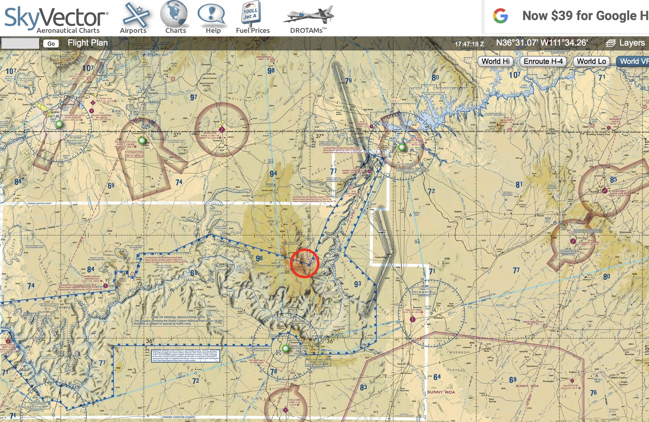
For flight planning, I used SkyVector.
I enabled X Plane's real-world weather, which downloaded the weather every fifteen-minutes for wherever I was flying. I liked this - clouds would roll in, fog would develop, and winds would change over the course of a flight. You could see storms and fly around them. Its only downside is that it could be abrupt. You'd hit the fifteen-minute mark, get a data download, and suddenly clouds would appear around you with wind gusts. In reality you would have seen those clouds and not entered them in the first place. It did make me cut some flights short and find local airports to set down until weather improved.

The few times I used X Plane's built-in ATC were disappointing, because it tried to murder me. It's oblivious to terrain and other aircraft, steering you in mountains. On approach to Albuquerque it kept telling me to descend two-thousand feet below surface level. I did like that it was easy to use, though, and had real voices, including other aircraft's comm chatter. Its main function is more of a talking GPS. Using it for an IFR flight where ground visibility is limited would be disasterous.
I'm looking forward to trying real ATC via human networks (most likely Pilot's Edge). Flying into LAX with no ATC just felt weird.
One piece of equipment I didn't use (because I'm too cheap to buy it) is TrackIR, which gives your cockpit a VR-like experience by tracking your head and moving the cockpit view to suit. But, as I try to do pattern work and learn more about flying, I find I really need to move my head and look around. Pressing function keys to look ninety-degrees left is clunky.
That's it - hope this helps if you're considering your own virtual adventure.

Pixel Plane Final Day - San Francisco Here I Come
It’s been nearly 3000 miles and 37 airports, but I’m finally here.
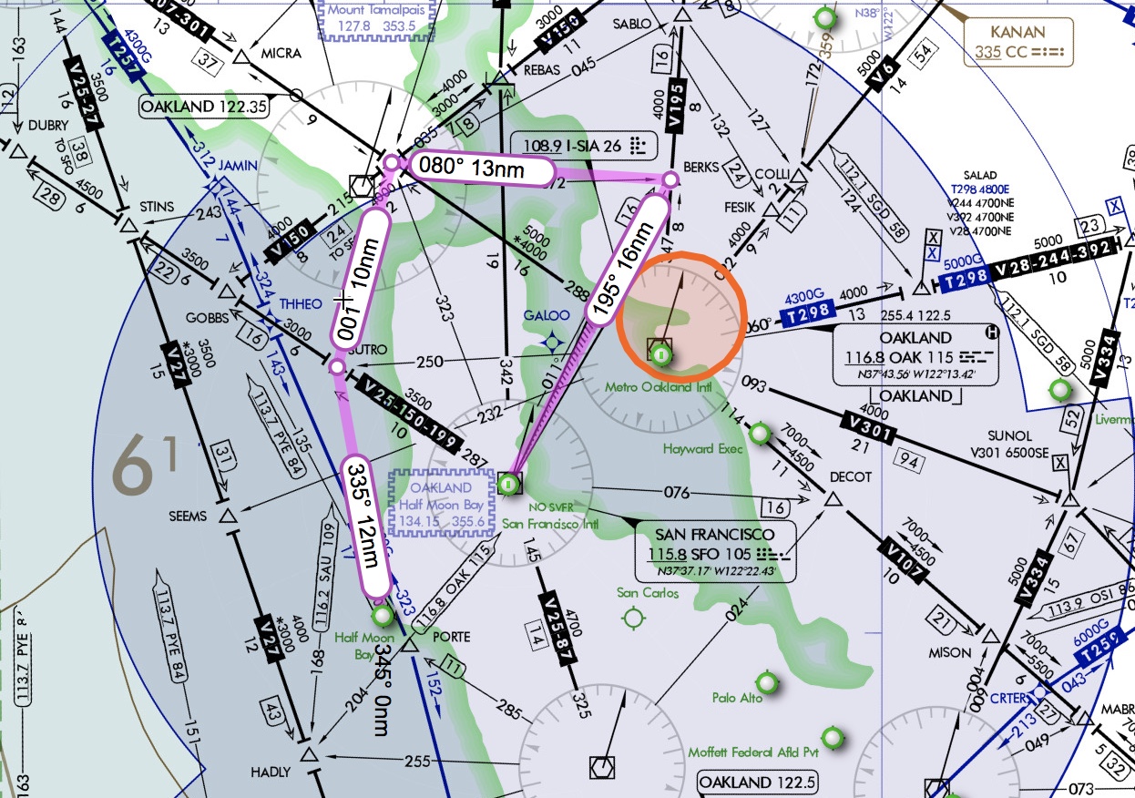
It's a beautiful day for my final flight. My plan is to depart from Half Moon Bay, follow the coast north past the Golden Gate Bridge, cross to Oakland and arrive at KFSO runway 19R. I can keep under bravo airspace for half the trip, but I'll need Norcal to give me clearances to transit and land at KFSO. For this final flight I'll be flying entirely manual - no autopilot assist for headings.
The departure from Half Moon is idyllic.

I pass several ships trailing white wakes in the Pacific.

When the Golden Gate Bridge comes into sight, it's a magnificent orange steel lattice, sharply contrasting with the marine blues of the water.

I reach my turning point, Sausalito falling behind me.

The bay transit is quick, Oakland's shore coming into view.

I turn to my final heading, Oakland sprawling beneath me, with San Francisco across the bay.

I set down on San Francisco's runway 19R and taxi to the general aviation area. The airport is alive with departures and arrivals, aircraft strobes pulsing everywhere.

I feel a bit giddy. It's been 2722 nautical miles, 37 airports, and 24 hours of flight time to get here. I've been up to ten thousand feet and down to sea level. I've been here in real life, ten years ago with my wife, biking the Golden Gate Bridge and having lunch in Sausalito.


So, it's been a bit fun, riding a commercial jet to get here in reality, but flying a virtual Piper Warrior to journey here in X Plane. Seeing the United States transition across the myriad of landscapes between the east and west coasts was amazing.
For those interested, my trip was:
- KAVP - Wilkes-Barre Scranton, PA
- KSEG - Sellingsgrove, PA
- KUNV - University Park, PA
- KJST - Johnstown, PA
- KHLG - Wheeling, WV
- KVTA - Newark, OH
- KAOH - Lima Allen County, OH
- KFWA - Fort Wayne, IN
- KSBN - South Bend, IN
- KORD- Chicago O’Hare, IL
- KMLI - Moline, IL
- KCID - Ceder Rapids, IA
- KDSM - Des Moines, IA
- KRDK - Red Oak, IA
- KAHQ - Wahoo, NE
- KGRI - Grand Island, NE
- KLBF - North Platt, NE
- KAKO - Akron, CO
- KCOS - Colorado Springs, CO
- KPUB - Pueblo, CO
- KTAD - Perry Stokes, CO
- KLVS - Las Vegas, NM
- KABQ - Albuquerque, NM
- KGUP - Gallup, NM
- KFLG - Flagstaff, AZ
- KGCN - Grand Canyon National Park, AZ
- 1Z1 - Grand Canyon Bar Ten Airstrip, AZ
- KLAS - McCarran International Las Vegas, NV
- KDAG - Barstow-Dagget, CA
- KPOC - La Verne, CA
- KLAX - Los Angeles, CA
- KSBA - Santa Barbara, CA
- KPRB - Paso Robles, CA
- KSNS - Salinas, CA
- KSJC - San Jose, CA
- KHAF - Half Moon Bay, CA
- KSFO - San Francisco, CA
A few observations from the journey:
- The transitions cannot be understated. You can see it in any US map. A sea of rounded green mountains to the east, and sharp tan peaks to the west. It's like flying over a gradient which starts green and transitions through ochre and sandy hues. At times, near New Mexico, the landscape could have been part of another world.

- The US is a bit like a tent, with the Rocky Mountains as the apex. Elevations on both sides of the mountains continued to be high for some time, making the midwest navigation difficult for a Piper with a ceiling of 11,000 feet.
- From the Rockies west, there is a surprising amount of military airspace.
- As I traveled, I wrote about the places I found interesting at each stop. Every place, even the smallest municipal airstrips, had someplace interesting to explore.
- I learned a lot from this trip, fumbling my way through reading VFR sectionals, following navaids using my plane's instruments, understanding different types of airspaces and their requirements, and flying in a variety of conditions. At the beginning of the trip the CDI, ADF, and DME were a mystery to me, but they were second nature by the end.
So, what's next? One of the things I'd liked to learn more about is radio work and interfacing with ATC. X Plane's built-in ATC is more like a talking GPS, and doesn't really give you this experience. I'll probably get a subscription to Pilot's Edge, which essentially turns X Plane into a multi-player server, connecting other simmers into a virtual airspace, while offering full ATC services from actual ATC operators. They have detailed training ratings taking you through basic to advanced VFR and IFR communications. Real pilots use the service. It's a bit intimidating, to be honest, but seems to be the next step in learning authentic procedures. I've been following a pilot and X Plane enthusiast on YouTube who loves Pilots Edge (and has also built his own full-sized simulator). Check out his videos to get a flavor for it:
So, as I set the chocks against the Warrior's wheels it feels good to be at the end of my trip.
But, I realize, it's just the start of a new leg.


Pixel Plane Day 18 - Do You Know the Way to San Jose?
Today I fly a triple-header with Salinas, San Jose, and Half Moon Bay.
It's sunny when I depart Paso Robles. The landscape is waves of wrinkled rock.

My VFR sectional shows hashed red lines to my left. At first I read these as restricted airspace, but upon closer investigation they are a MOA - military operations area.

Unlike restricted airspace, I can enter these, but must be aware that military aircraft may be performing operations. I decide to avoid this.
In no time the landscape changes, and I'm flying a green corridor nestled between two mountain ranges.

I set down smoothly in Salinas and spend a few hours visiting the Steinbeck House and Laguna Seca, grabbing dinner at the Salinas City BBQ. Sometime near sunset I'm back in the air en route to San Jose.

It's a bit windy when I take off, and the winds become gusty as I near KSJC. I'm fighting to keep on runway centerline.

But, I get it sorted out and land, city lights sprawling around me in all directions.
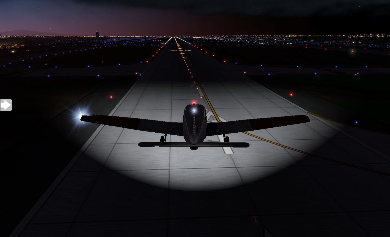
After an overnight stay, I explore San Jose a bit, visiting the Winchester Mystery House (it's beautiful, but bizarre), then I have a ten a.m. departure for KHAF Half Moon Bay. Scattered clouds obscure much of the sky, but the deck is around five thousand feet and visibility is good. Once I'm in the air, I get a good view of San Jose's scale.

My flight plan takes me out over the ocean and there's something serene about it, waves and sunlight dancing below.

When Half Moon Bay comes into view, it's obvious how it got its name.
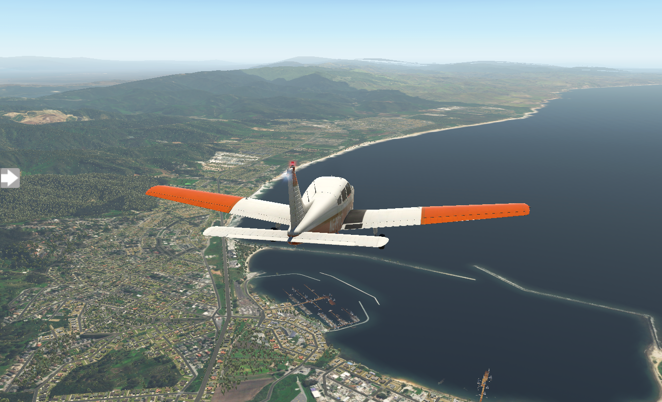
I circle the airport and set down. It's beautiful here, and a perfect place for my final stop. I'm only twenty miles from San Francisco.

Pixel Plane Day 17 - Stargazing in La La Land
I channel my Ryan Gosling and explore Hollywood.
My three days in Los Angeles are a whirlwind. I visit Sunset and Hollywood Boulevards, checking out the stars on the Walk of Fame, then walk down Rodeo Drive. After a stop at Paramount Studios, I'm off to Griffith Observatory in the evening for a bit of stargazing. Ryan Gosling and Emma had their memorable date here in La La Land.
During the next days I hike a bit at Runyon Canyon Park and spend some time at Santa Monica Pier and Beach. It all goes by in a blink.
Late in the afternoon on my third day I fly to Santa Barbara. It's still a bit windy and there's a haze in the air, but conditions are good. My course takes me over the ocean flying parallel to the coast.

Clouds roll in as I near my destination, KSBA Santa Barbara. After all of my high-altitude waypoints to get here, I needed to do a double-take when I saw KSBA was 9 feet above sea level. It's the first time my altimeter's hit zero upon landing.

I eat dinner at Los Agave's and call it a night. The next morning I have a nine a.m. departure for KPRB Paso Robles. The runway heading leads me quickly into a wall of mountains, and I have to steadily climb to clear them.
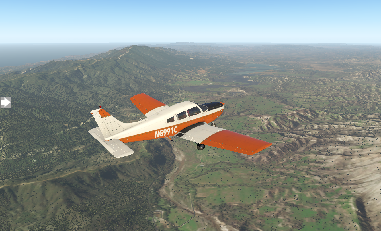
I'm glad I requested flight-following from ATC. The route takes me over long stretches of rocky mountains. The landscape flattens out and KPRB Paso Robles comes into view.

As I taxi I notice the north end of the airport is home to the Estrella Warbirds Museum. Curious, I venture over to check it out.

Pixel Plane Day 16 - City of Angels
I’ve made it to the west coast, but my journey isn’t finished yet.
I spend the afternoon exploring San Bernardino, stopping at the Original McDonald's Museum, San Manuel Stadium, and the San Bernardino History and Railroad Museum. The wind picks up a bit when I head back to the airport. A quick check of the forecast shows that it's sunny with light winds and no gusts. I can handle seven-knot winds. I'm back in the air heading west, sandy landscape stretching behind me.

The standard navigation takes me directly over mountains. I'm flying at nine-thousand feet and will have to climb well over ten thousand to clear them.

Looking over to my left, the mountains drop quickly. I adjust my course and traverse the lower portion, dropping to get beneath some of the patchy clouds.


On the other side of the mountain the weather changes. Fog and mist roll in, and the wind becomes gusty.

Visibility is ten miles but decreasing, and the gusts are swaying me like I'm on a boat. I check the ATIS/ASOS channels at nearby airports and everywhere has similar conditions. I'm a bit nervous about the amount of concentration I'll need in the heavy traffic of the Los Angeles airspace, and I decide it's best to set down until the conditions improve. KPOC Brackett Field is close, and I descend. It takes me two passes at the airport, but I land without issue. I end up staying the night.
The next morning it's clear with calmer winds. I'm back in the air.

It's a short hop - only twenty minutes - and Los Angeles International is in sight. There's a steady line of jet traffic arriving and departing.

I set down on 24L and taxi to the general aviation parking area, stopping for a moment just to watch the grandeur of KLAX.

It's my first time in LA and I've scheduled a three day stop here. What will I do? Where to start? I'm excited as I park, shutdown, and step onto the wing.

Pixel Plane Day 15 - Sin City
Viva Las Vegas! Also, I nearly get intercepted by F15s.
After enjoying the views from 1Z1 Bar Ten airstrip I'm back underway for another canyon transit. The sun is low and the rock shines orange. I fly southwest, passing over 1G4 Grand Canyon West airport. It looks precarious nestled along the chasm's edge.

In no time I'm flying over Lake Mead, then the glittering Vegas lights appear like an oasis. I'm enveloped in the city's spectacle.

The strip slips past me with its brightly illuminated buildings.

There's air traffic everywhere, red beacons and white strobes pulsing in the night. ATC has me follow a Piper Comanche in for landing.
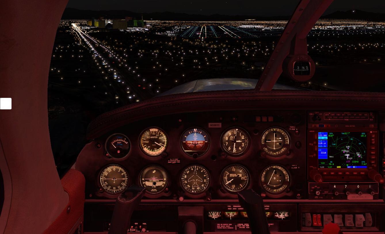
I taxi into the parking area, the Mandalay Bay Casino visible behind me.

I decide that's the first place I'll visit. I'm not much for gambling, but they have a fantastic aquarium. Afterwards I'll walk the strip, get my George Clooney vibe out for the Bellagio, and visit the Pinball Hall of Fame. It's midnight when I head back to the hotel.
The next morning I catch a bit of breakfast and head back to the airport for my departure to KDAG Barstow-Daggett. The first thing I think of when I hear "Daggett" is the robot-dog from Battlestar Galactica, although that one was spelled "daggit". It's sunny with a little bit of wind coming from the east.
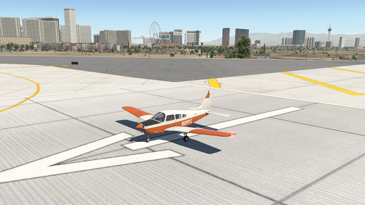
Minutes later I'm in the air with Vegas falling behind me.
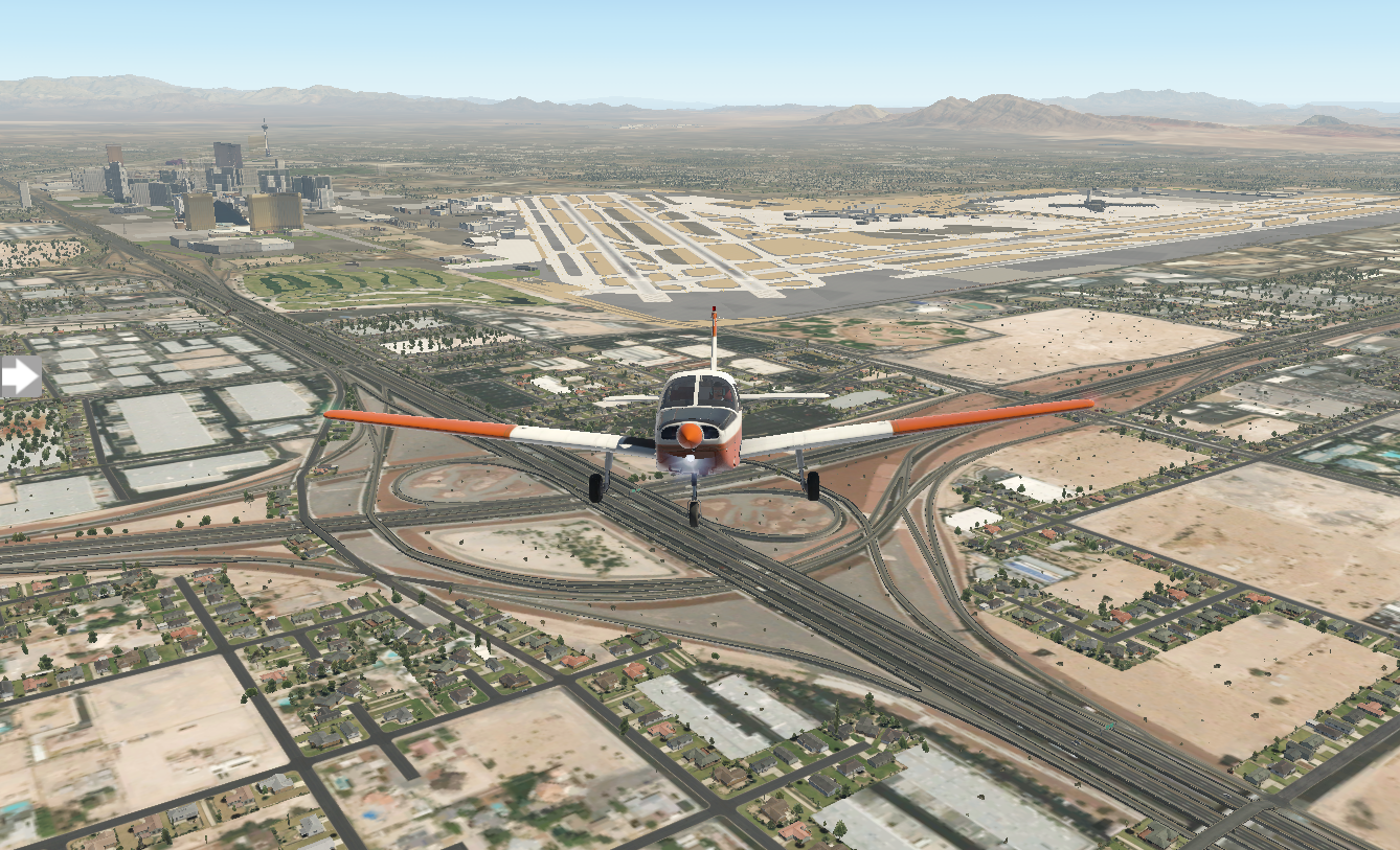
Sandy desert stretches on along the route.

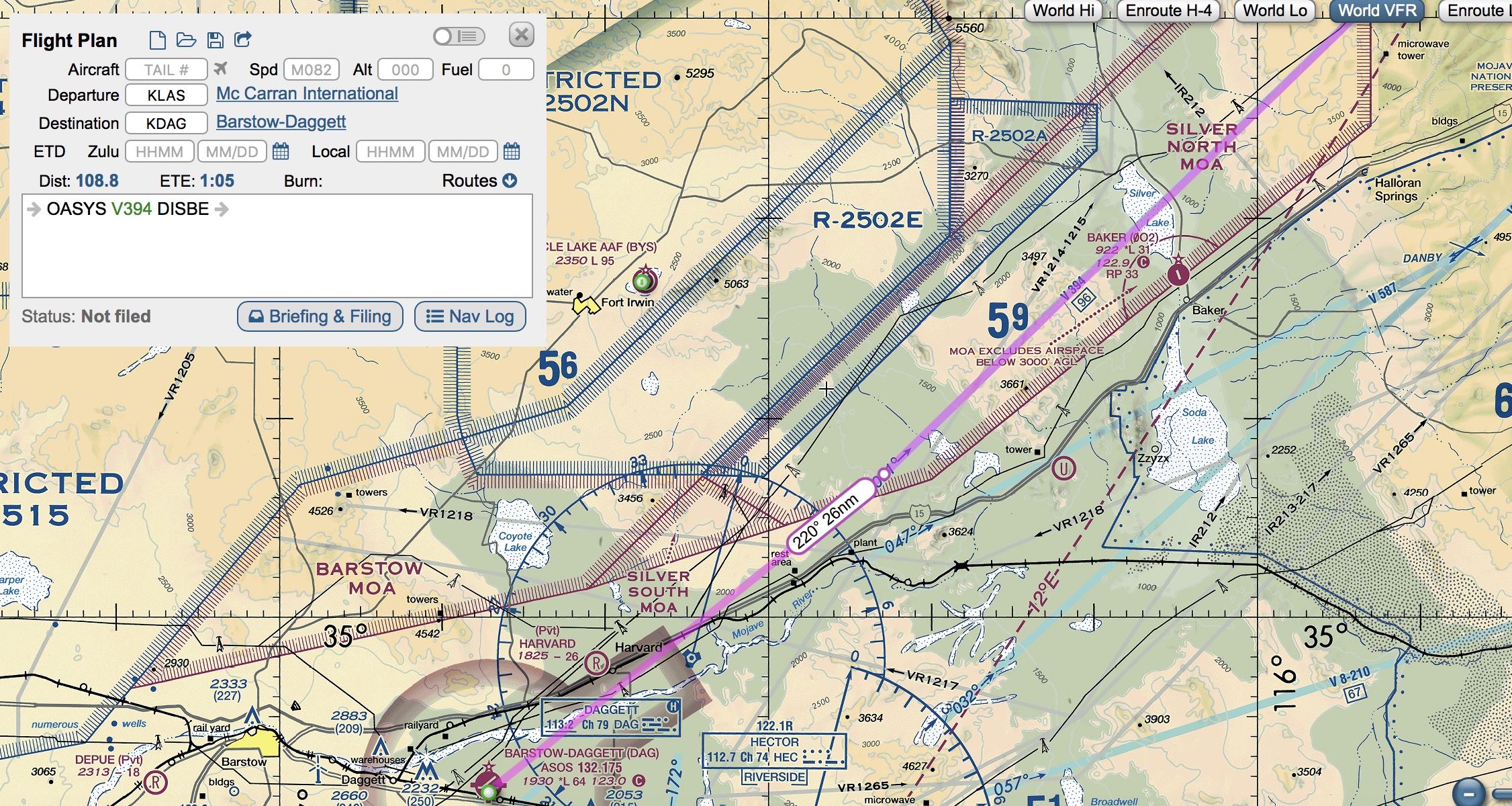
When I worked out my flight plan on SkyVector, it placed me on a straight-forward path via OASYS and DISBE waypoints. In my haste, I missed an import point. It's not until I glance at my Garmin mid-flight that I notice the airspace brackets dead ahead.
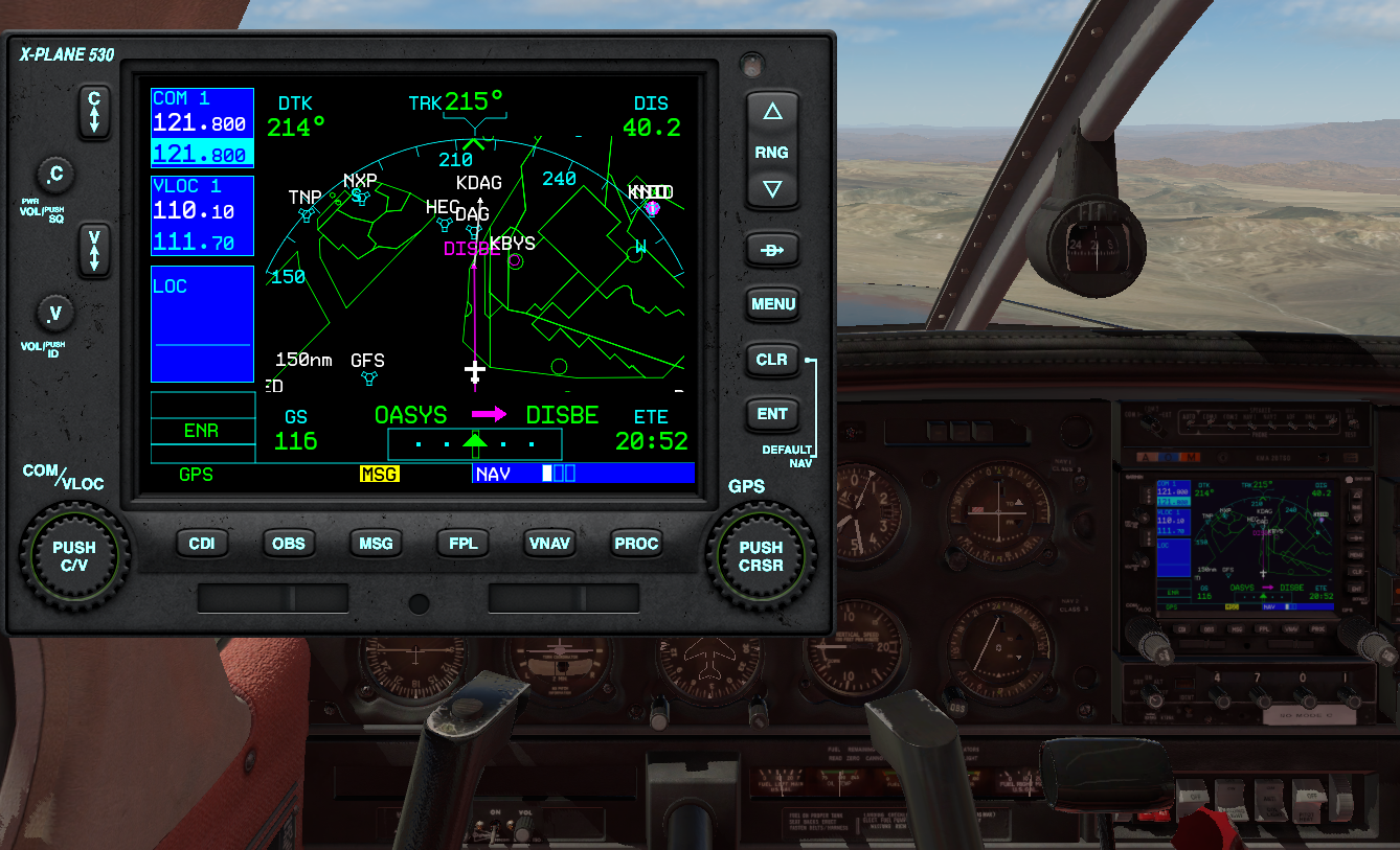
Abruptly I turn ninety degrees to the left. Pulling up the VFR sections, it's restricted military airspace. Fortunately I caught my error before breaching it. Getting intercepted by F15s would be a bad end to this trip. I go around, then catch the KDAG VOR radial and get back on track.
As I close on KDAG, I work on flying a standard pattern. I enter the downwind on the forty-five, line up my wingtip with the runway, work on my altitude and power and turn base. I'm a bit early on my base turn, but I'll get better with practice.
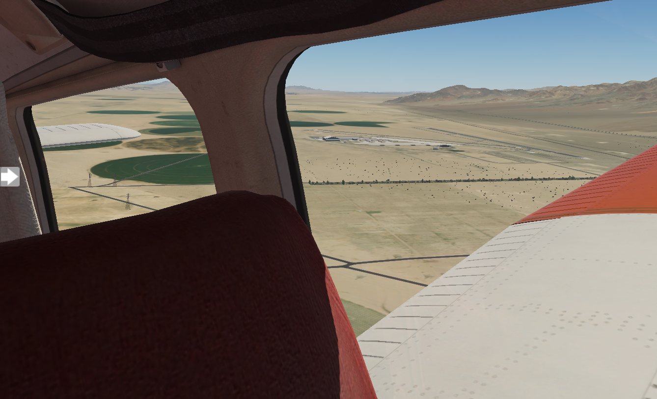
I set down smoothly and exit the runway.

Barstow-Daggett airport is in San Bernanino. I'm curious to explore what's here for the next few hours. I've got another big flight ahead of me near dinner time, Los Angeles International, and I'm a bit nervous.

Pixel Plane Day 14 - A Grand Day Out
Starmen, craters, and canyons.
I'm grabbing a bite at the Northern Pines restaurant in Flagstaff when the fellow next to me at the counter makes some small talk. I tell him about my cross-country adventure and he says, "I suppose you'll be flyin' by the crater, then?"
I squint, thinking.
"You know," the man continues, "the big meteor one. Pretty close. Forty-five minute drive."
I nearly gasp. Meteor Crater, the place where Jeff Bridges gets picked up by his massive silver spaceship in Starman.
My route here took me far north of it. I nearly went on to my next leg without seeing it.
"You betcha," I say to the man, finishing my last bites and tossing my cash onto the counter. I'm back at the airport with my sectionals in hand. I go old-school and pull out a ruler, getting a bearing from Flagstaff, and set up my CDI for the corresponding radial coming from the Flagstaff VOR. Then, I'm in the air. The crater comes into view in twenty minutes.

Next up is KGCN Grand Canyon National Park. The course from Flagstaff is convoluted, due to mountains and restricted airspace blocking the north route. I need to go the long way around.

The views are pretty along the way.

After ninety minutes KGCN comes into view, with the Grand Canyon just beyond it.

When I land here, it's like a party. Planes and people are everywhere, the airport bustling with activity. I chat with a few of the pilots. Everyone's doing VFR flights over the canyon. The interesting thing about sightseeing here is that the FAA has designed the entire airspace over the Grand Canyon as having special rules, and has published a specific VFR sectional map for it. Large swathes of airspace are no-fly zones (at least below 14,500 feet), but there are corridors available with names like Dragon Corridor or Fossil Canyon Corridor. My plan is to fly due west parallel to the restricted space, crossing between Vulcan's Throne and Twin Peaks to the north side of the canyon, landing at 1Z1 Bar Ten airstrip.

I lay out my ruler on the section. Heading 255 will take me due west from KGCN. Peach Springs VOR is just south west of the canyon. If I intercept the 35 degree radial from Peach Springs, I'll be at my turning point. I connect that point to 1Z1 and get a bearing of 330. It's a plan.
It's sunny and clear when I take off from Grand Canyon National Park.

For a while, flying west is a bit disappointing. I can't see the canyon, just stretches of flat rock. Then, my CDI creeps towards center and I know I'm getting close to the Peach Springs 35-degree radial. I turn and fly heading 330. The canyon is upon me, and the view is spectacular.
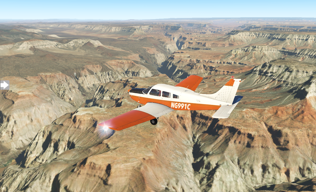

As it falls behind me, I start my search for 1Z1 Bar Ten airstrip. I put the GPS into OBS mode and dial in my desired approach heading on the CDI. Ten miles out, I still don't have the airfield in sight. Five miles. Two miles. I've missed it.

I continue along the same heading for ten miles and turn around, descending. As I get closer, it comes into view.
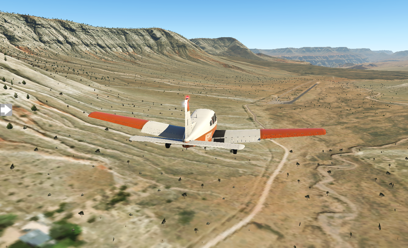
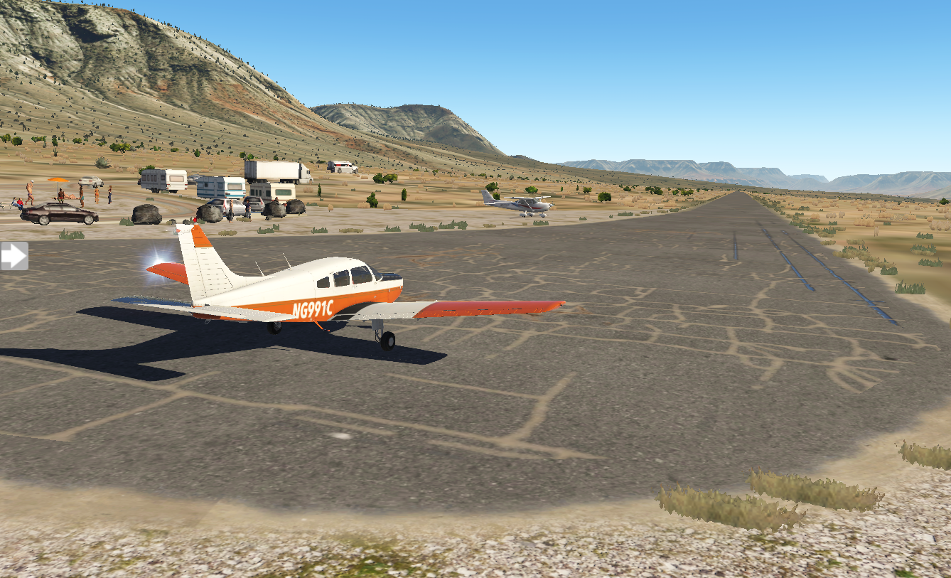
It's a bit intimidating with sloping ground leading to and from the runway, and rock walls flanking it. I descend to the right altitude, but I'm flying way too fast for landing and need to do a go-around. I try again, still at the wrong combination of speed and altitude. Finally, after a fourth attempt, I set it down.
Some of the pilots seem a bit amused as I step out of my plane, but I have the feeling they've all been there before. Music is playing nearby - Van Halen's Jump - and a game of volleyball is in progress just off the ramp. I smell food cooking and my stomach grumbles. I lean against my wing, cross my arms, and just enjoy the view.
Pixel Plane Day 13 - Gallup and Flagstaff
I retrace Walter White’s steps in Albuquerque before flying over an alien landscape.
I decide to spend my time in Albuquerque doing a Breaking Bad tour. I visit Walter White's house and the A1 car wash in Northeast Heights and Tuco's headquarters at Java Joe's on Park Ave. I wrap up at Twisters, the real-life restaurant chain which was Gus Fring's Los Pollos Hermanos. Afterwards I'm back at the airport for departure.
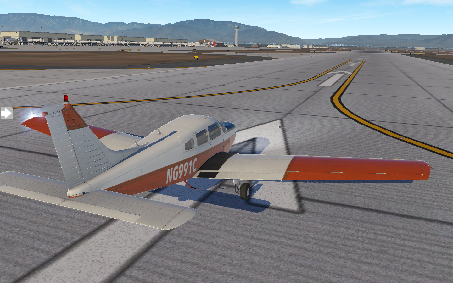
Albuquerque sprawls beneath me as I ascend to cruising altitude.

Rocky landscape and high elevations span the stretch to Gallup.
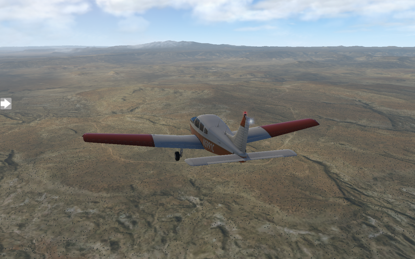
Gallup's airport, KGUP, is a bit of an adventure to navigate to, with trench-like escarpments on both sides.

The sun is getting low and I spend the evening here, visiting the Navajo Code Talker Museum and grabbing dinner at the Route 66 Diner.
I'm happy to see bright sunshine the next morning, but a check of the weather forecast shows some patchy showers in the future. It's a beautiful morning when I takeoff

My trip starts with blue skies, but in no time the rain is upon me. The clouds remain high and visibility is still good, but drops patter on the hull.

I can see the direction of the storm and turn ninety-degrees to my left. In a few minutes, bits of blue sky poke through.

Just like that I'm back in sunlight, gray clouds falling behind me. The landscape is surreal, a mix of powder orange and mustard, and I feel like I'm flying over an alien world.

Ahead clouds hover over Flagstaff, and I know I've got one more bout of rain before landing.

I set down on runway twenty-one.

A sense of mirth overtakes me. Tomorrow I'll fly to KGCN - Grand Canyon National Park. I've flown nearly two-thousand nautical miles to get here. I can't wait to see the sights.
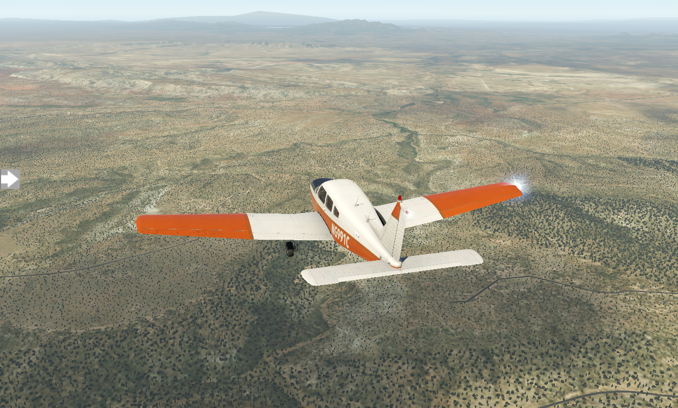
Pixel Plane Day 12 - the Garden of the Gods
A day of sightseeing in Colorado Springs followed by airport-hopping to Albuquerque.
Today I begin my detour around the Rocky Mountains with an early morning departure from Denver International. Colorado Springs is a short 69 nautical mile hop. A scenic approach awaits me as I descend.

I grab a bite at Marigold Cafe and Bakery before heading off visit the Garden of the Gods. It's a given that I drop by The National Museum of World War II Aviation and the Peterson Air and Space Museum. I could easily spend a few days here, there's so many things I want to explore. - Pike's Peak, Glen Eyrie Castle - but I have a schedule to keep, so I'm back in the air enroute to KPUB Pueblo. The landscape is unearthly, filled with fissures and rock formations along the way.
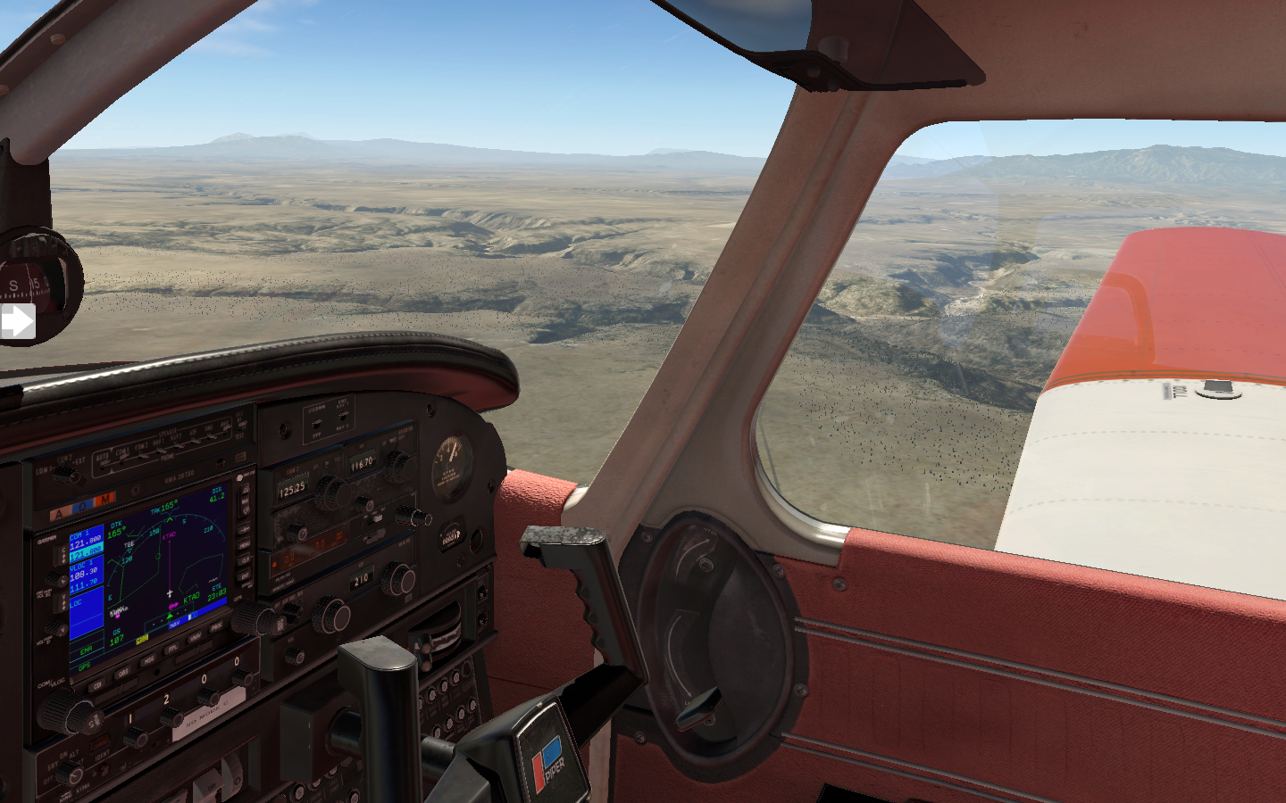
It's a small general aviation field, and I park and refuel.

In no time I'm back in the air onwards to KTAD Perry Stokes. After a brief rest here and a bite to eat, I take off for KLVS Las Vegas , New Mexico (not to be confused with Las Vegas, Nevada). I've gotten the hang of setting up NAV2 with my destination and linking the DME to it, displaying remaining distance. The orange glowing digits read 64.4 nautical miles.

The sun is low as I land and I call it a day.

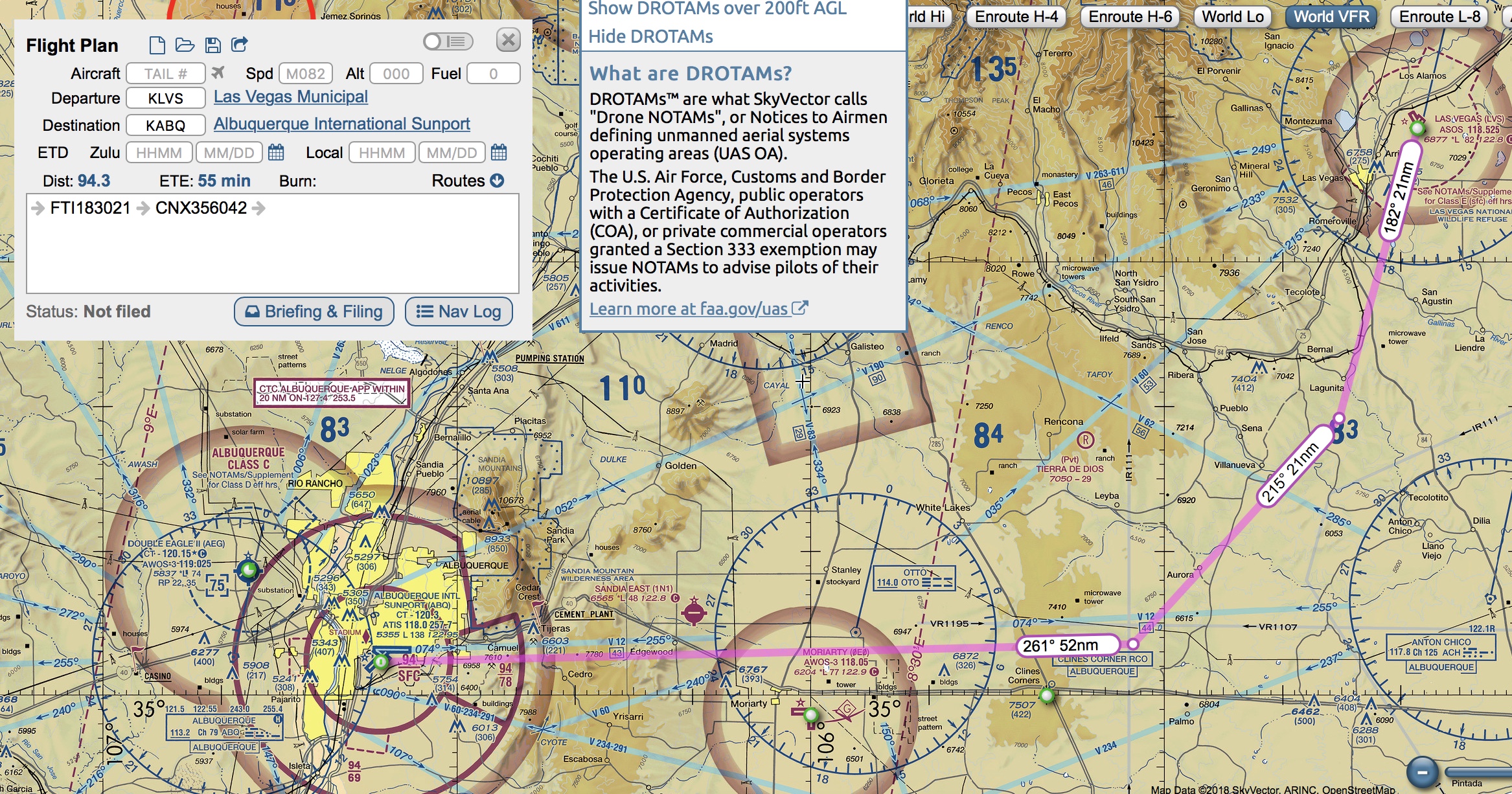
The next morning I sleep in a bit, grab a quick breakfast, and prepare for my trip to Albuquerque International Sunport. KABQ is in Class C airspace, so I'll be under full ATC for this trip. The most direct route takes me over some high mountains, so I'll be taking a more leisurely path, avoiding the peaks.
I couldn't ask for a better day. Visibility is perfect with cloudless blue skies. The landscape is a swirl of nutmeg and ochre as I ascend to ten-thousand feet.


Even this far south, there's still some tall mountains to cross, but Albuquerque comes into view. I follow the standard approach and set down on runway three.

I roll into the general aviation area and shutdown. I've got a few hours here before moving on to Gallup. One of my favorite TV shows, Breaking Bad, was set in Albuquerque. I ponder if there are any locations to visit as I climb out of my Warrior.
Pixel Plane - Navigation - The Continental Divide
There’s a reason it’s called the Continental Divide
I wake up the next day after a whirlwind tour of Denver, laying out my aeronautical sectionals. After crossing half of the country, I've hit both a literal and metaphorical wall: the Rocky Mountains.
VRF sectional maps contain blue digits showing the maximum terrain elevation. On my proposed route from Denver to Granby, the number on the right starts at 10.5 (10,500 feet) and ends at 14.6 (14,600) feet.

This poses two big problems. First, the service ceiling of my Piper Warrior is 11,000 feet. Second, I will need supplemental oxygen to fly above 12,500 feet. As I pan along the sectional map, this entire chunk of the Rockies is over 12,500 feet.
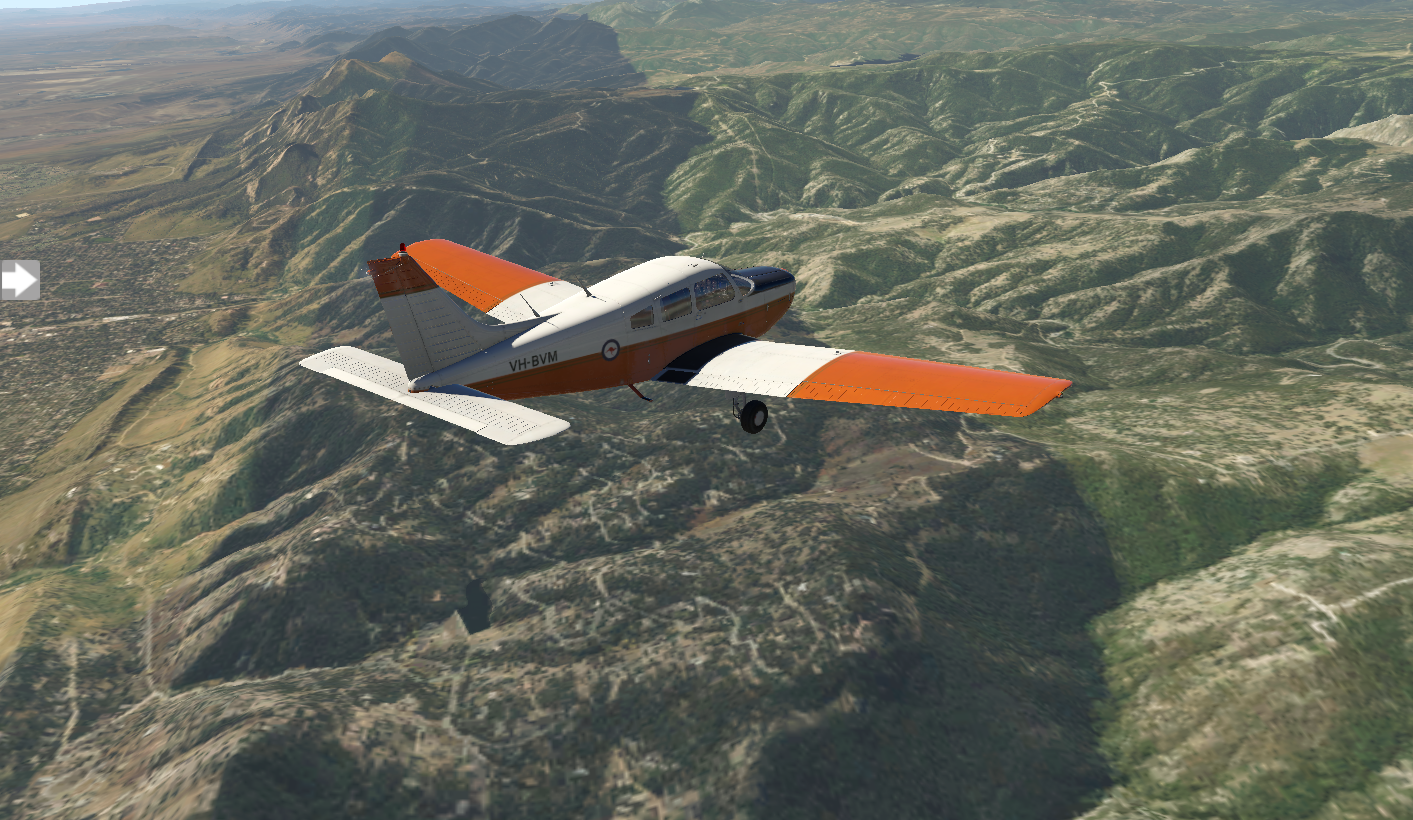
Just for fun I try a simulated flight. X Plane allows me to take my Warrior up to 12,500 feet, but it's the minimum to clear the peaks. The views are fantastic.
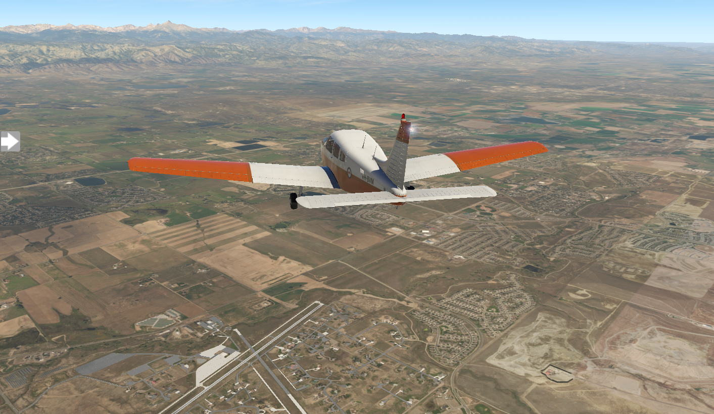
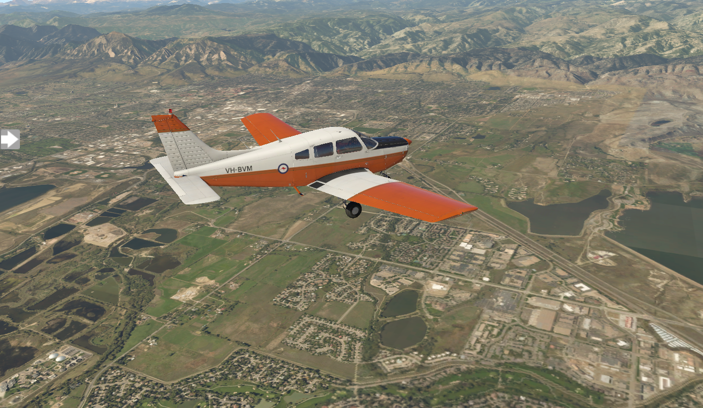
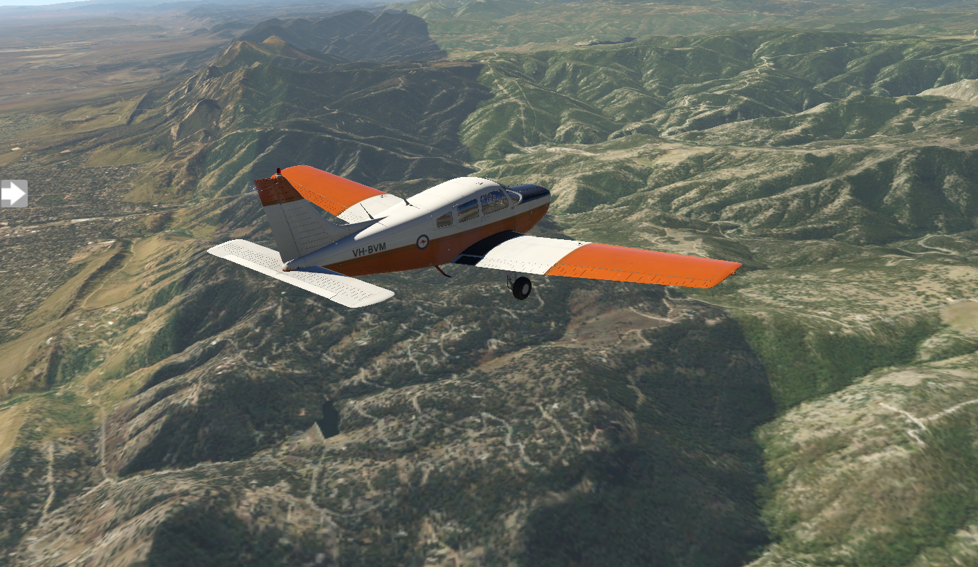
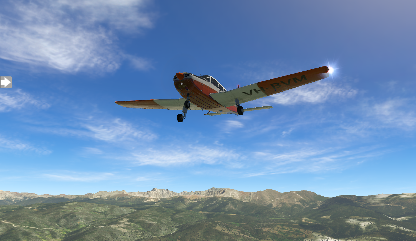
But, realistically I wouldn't take my aircraft 1,500 feet above its max altitude. So, when you can't go over a mountain, you need to find a way around.
Option 1 is north to Cheyenne and Casper:
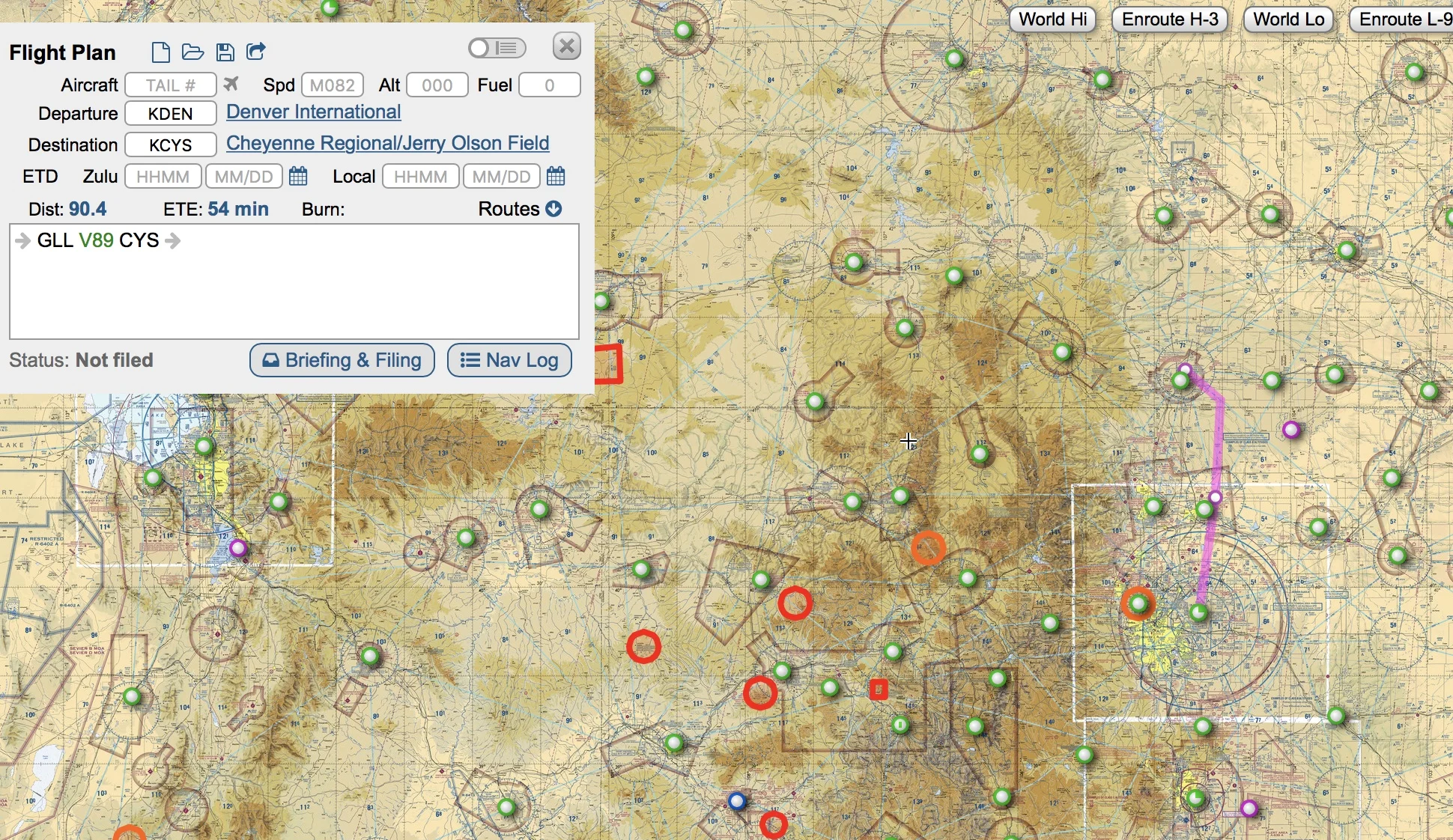
Option 2 is south to Colorado Springs and eventually Albuquerque:

The nice thing about option 2 is that it lines me up with a due-west track with the Grand Canyon, which is in my plan.
Option 2 it is. I start working out the details of my next stop, KCOS Colorado Springs.

Pixel Plane Day 11 - Look Kids...Big Ben, Parliament
Today I learn that it’s important to respond to air traffic control.
The weather is perfect for my sunrise flight out of KLBF North Platt. It's a hundred-and-thirty nautical mile flight to Akron, Colorado, and I enjoy the views of the landscape bathed in gold light.
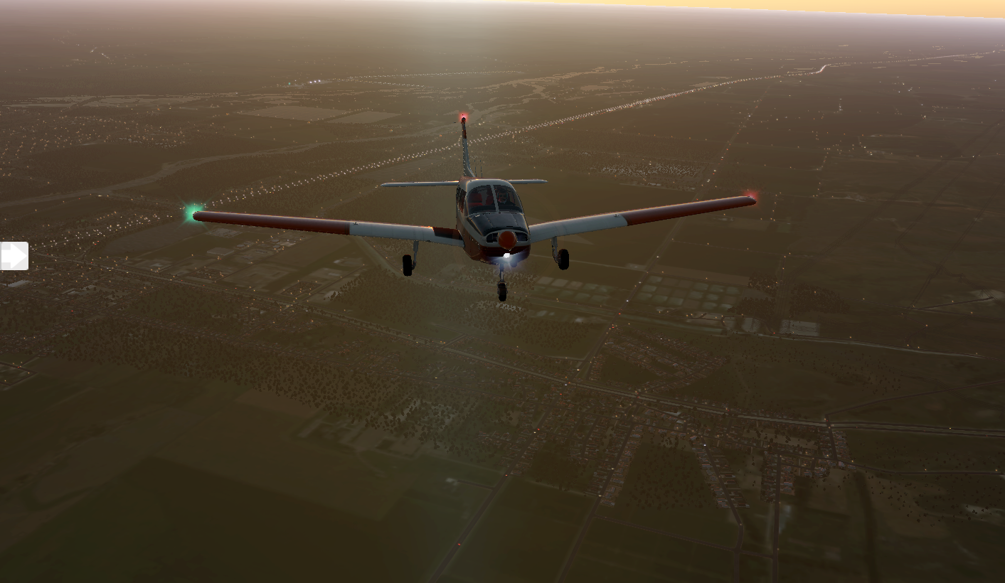
When I set down in KAKO Colorado Plains Regional Airport, there are a few Cessnas parked in the general aviation area. One is being prepped for a flight, and the pilot gives me a friendly nod.

Not to be confused with Akron, Ohio, this is a small town with seventeen-hundred people. I grab a cup of joe at Cornerstone Coffee, then I'm back to the airport for my trip to KDEN Denver International.
Denver International is surround by Class B airspace, which means I'll need ATC clearance and guidance. I file an IFR flight plan. As I zoom out on my Garmin, it displays the controlled airspace shelves as rings. Good to know, because there are strict FAA penalties for violating Class B airspace. More importantly, it'll be filled with aircraft, and I can cause a collision. ATC clears my flight plan and gives me my unique transponder identifier, forty-seven hundred, so they can track me. I dial it into my transponder.

Initially green fields greet me on my journey, but they give way to rocky hues.

Air traffic control takes me out over the city in a wide square to reach my runway. The route around Denver seems to take longer than the flight to Denver. Comms are alive with chatter from other aircraft.

I've got runway 35R's ILS frequency dialed into NAV1 and my CDI set up for three-fifty. ATC takes me on a forty-five degree angle to intercept the approach.
“Heading is three-fifty,” ATC instructs, “we’ll call the field.”
I find “we’ll call the field” a bit confusing, but I repeat, “Fly heading three-fifty, call the field in sight.”
I'm perfectly lined up with the runway when ATC gives me a new heading ninety-degrees to my left. Perplexed, I obey.

ATC takes me on the long, rectangular circuit I just flew, looping along the forty-five and finally back to the three-fifty. It feels like the scene on National Lampoon’s European Vacation, where Chevy Chase is stuck in the round about.
I scratch my head wondering why I was diverted, but finally deduce the cause. ATC was waiting for me to report the field in sight. When I didn't, they diverted me.
This time I do a better job, and land at runway 35R.


The general aviation area is bit away from the main terminal. I head over to watch the myriad of flight operations.

I have to give X Plane a hand. There are many third-party plug-ins to add AI traffic and airport operations, but vanilla X Plane does a good job of moving AI aircraft and ground services around the airport. Here a Cessna taxis while a Southwest 737 arrives.

There are endless things to do in Denver, and I spend the day exploring. I start with Dinosaur Ridge, following the footprints of dinosaurs. Next up is the Denver Botanic Gardens for an tour of Rocky Mountain flora. As an art fan, I can't miss the Denver Art Museum. I swing by Larimer Square and Union Station before visiting Red Rocks Amphitheatre. All in all, a great day. I crash at my hotel and get a good night's sleep in preparation for tomorrow's flight to Granby-Grand County.