Pixel Plane Day 18 - Do You Know the Way to San Jose?
It's sunny when I depart Paso Robles. The landscape is waves of wrinkled rock.

My VFR sectional shows hashed red lines to my left. At first I read these as restricted airspace, but upon closer investigation they are a MOA - military operations area.

Unlike restricted airspace, I can enter these, but must be aware that military aircraft may be performing operations. I decide to avoid this.
In no time the landscape changes, and I'm flying a green corridor nestled between two mountain ranges.

I set down smoothly in Salinas and spend a few hours visiting the Steinbeck House and Laguna Seca, grabbing dinner at the Salinas City BBQ. Sometime near sunset I'm back in the air en route to San Jose.

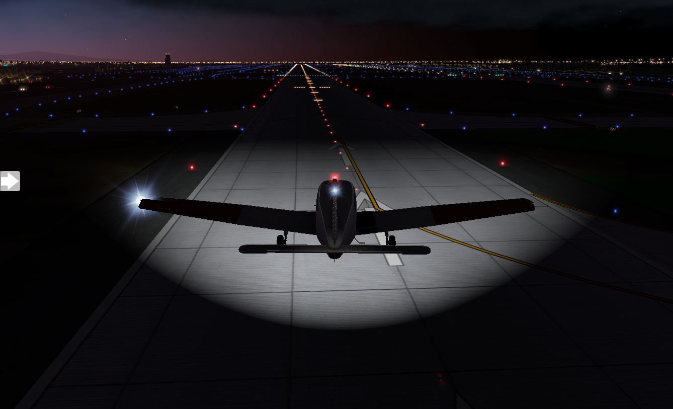
It's a bit windy when I take off, and the winds become gusty as I near KSJC. I'm fighting to keep on runway centerline.

But, I get it sorted out and land, city lights sprawling around me in all directions.
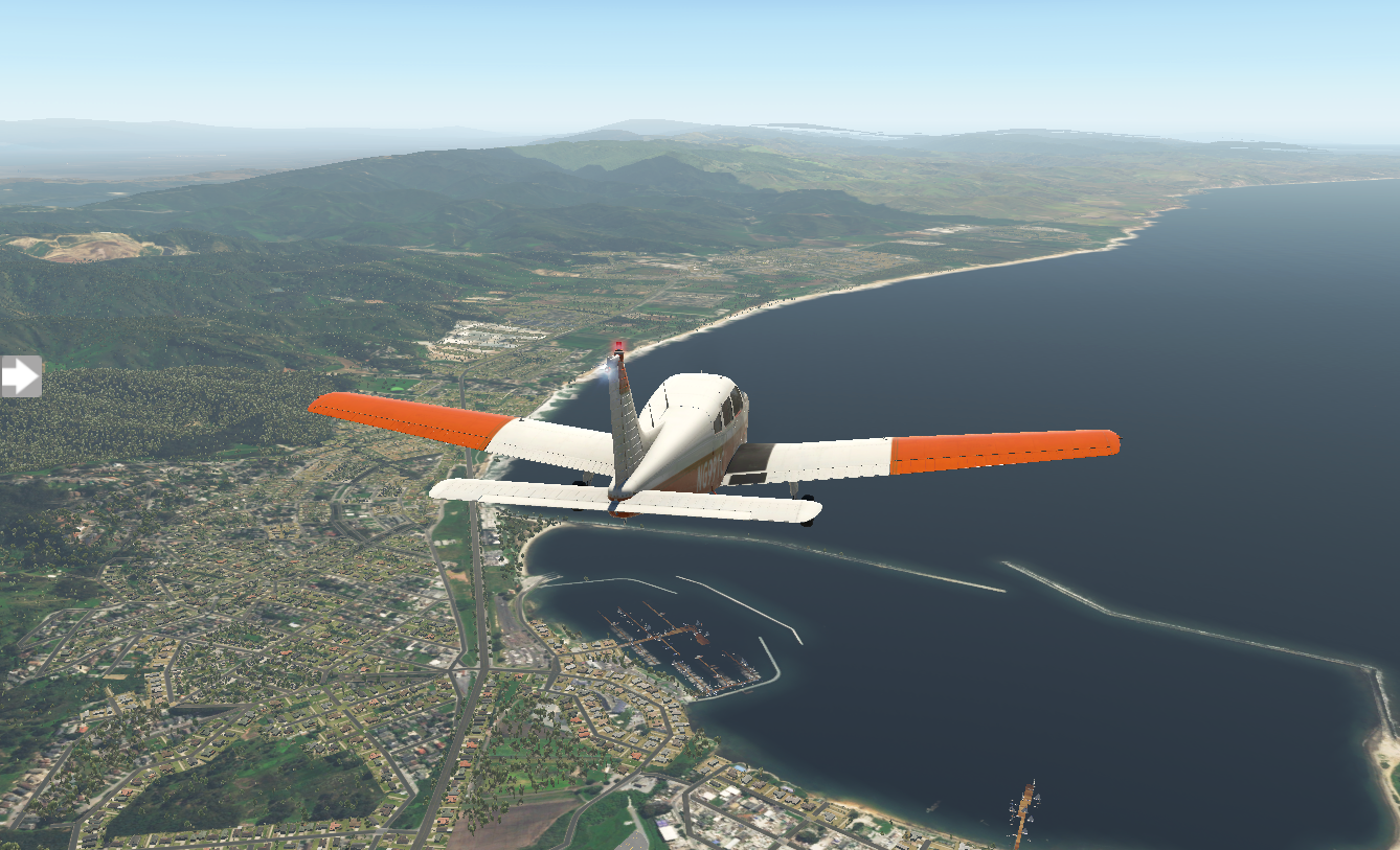
After an overnight stay, I explore San Jose a bit, visiting the Winchester Mystery House (it's beautiful, but bizarre), then I have a ten a.m. departure for KHAF Half Moon Bay. Scattered clouds obscure much of the sky, but the deck is around five thousand feet and visibility is good. Once I'm in the air, I get a good view of San Jose's scale.

My flight plan takes me out over the ocean and there's something serene about it, waves and sunlight dancing below.

When Half Moon Bay comes into view, it's obvious how it got its name.
I circle the airport and set down. It's beautiful here, and a perfect place for my final stop. I'm only twenty miles from San Francisco.