I'm grabbing a bite at the Northern Pines restaurant in Flagstaff when the fellow next to me at the counter makes some small talk. I tell him about my cross-country adventure and he says, "I suppose you'll be flyin' by the crater, then?"
I squint, thinking.
"You know," the man continues, "the big meteor one. Pretty close. Forty-five minute drive."
I nearly gasp. Meteor Crater, the place where Jeff Bridges gets picked up by his massive silver spaceship in Starman.
My route here took me far north of it. I nearly went on to my next leg without seeing it.
"You betcha," I say to the man, finishing my last bites and tossing my cash onto the counter. I'm back at the airport with my sectionals in hand. I go old-school and pull out a ruler, getting a bearing from Flagstaff, and set up my CDI for the corresponding radial coming from the Flagstaff VOR. Then, I'm in the air. The crater comes into view in twenty minutes.

Next up is KGCN Grand Canyon National Park. The course from Flagstaff is convoluted, due to mountains and restricted airspace blocking the north route. I need to go the long way around.

The views are pretty along the way.

After ninety minutes KGCN comes into view, with the Grand Canyon just beyond it.

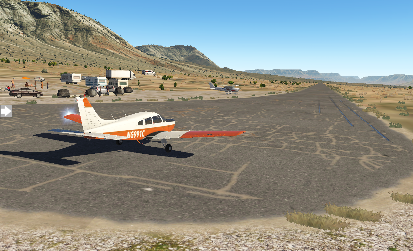
When I land here, it's like a party. Planes and people are everywhere, the airport bustling with activity. I chat with a few of the pilots. Everyone's doing VFR flights over the canyon. The interesting thing about sightseeing here is that the FAA has designed the entire airspace over the Grand Canyon as having special rules, and has published a specific VFR sectional map for it. Large swathes of airspace are no-fly zones (at least below 14,500 feet), but there are corridors available with names like Dragon Corridor or Fossil Canyon Corridor. My plan is to fly due west parallel to the restricted space, crossing between Vulcan's Throne and Twin Peaks to the north side of the canyon, landing at 1Z1 Bar Ten airstrip.

I lay out my ruler on the section. Heading 255 will take me due west from KGCN. Peach Springs VOR is just south west of the canyon. If I intercept the 35 degree radial from Peach Springs, I'll be at my turning point. I connect that point to 1Z1 and get a bearing of 330. It's a plan.
It's sunny and clear when I take off from Grand Canyon National Park.

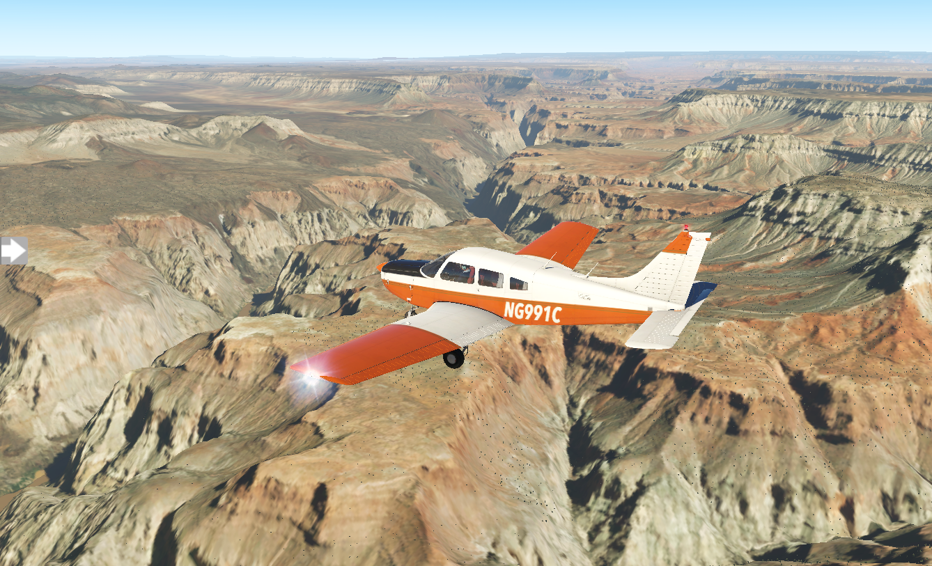
For a while, flying west is a bit disappointing. I can't see the canyon, just stretches of flat rock. Then, my CDI creeps towards center and I know I'm getting close to the Peach Springs 35-degree radial. I turn and fly heading 330. The canyon is upon me, and the view is spectacular.

As it falls behind me, I start my search for 1Z1 Bar Ten airstrip. I put the GPS into OBS mode and dial in my desired approach heading on the CDI. Ten miles out, I still don't have the airfield in sight. Five miles. Two miles. I've missed it.

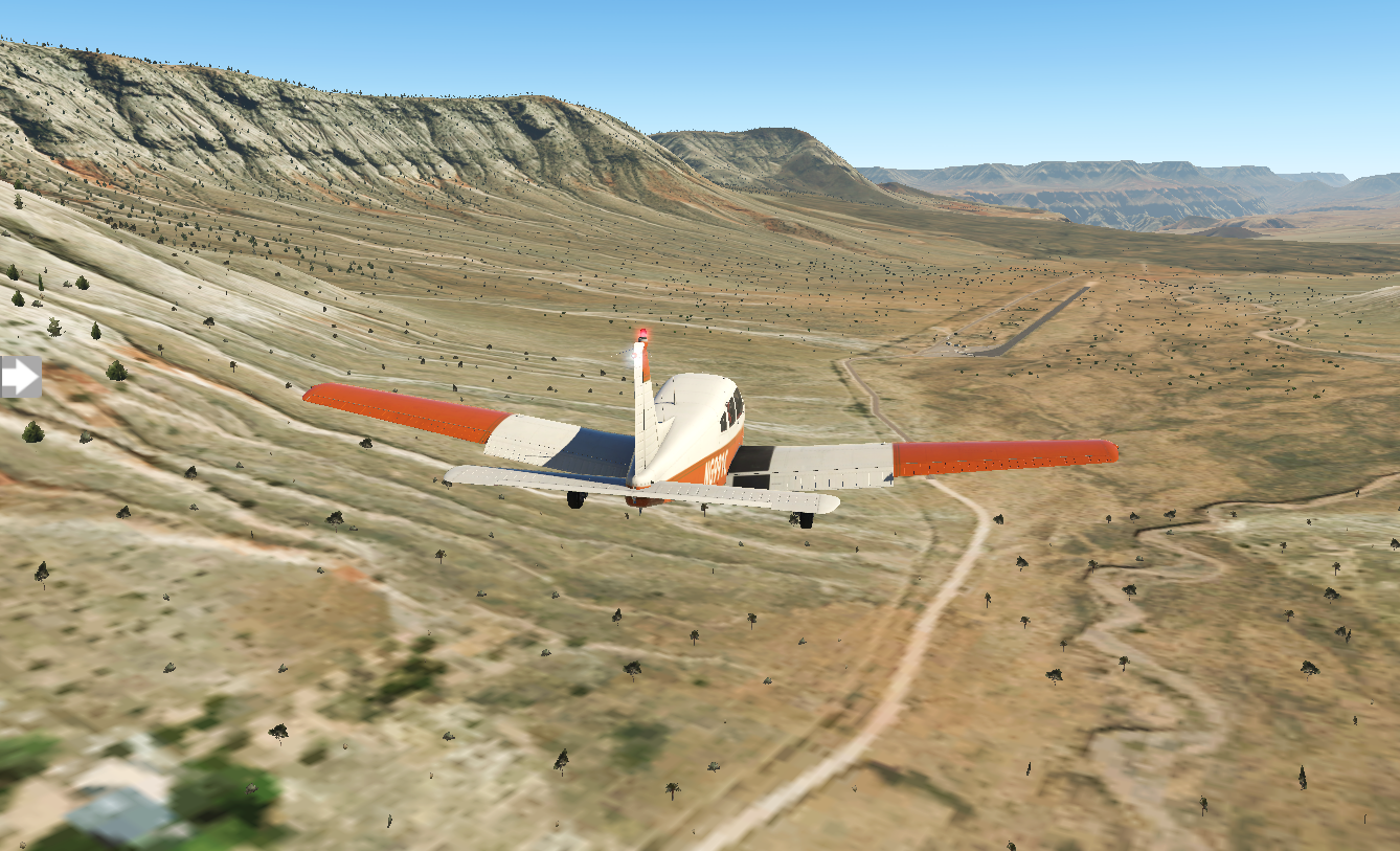
I continue along the same heading for ten miles and turn around, descending. As I get closer, it comes into view.
It's a bit intimidating with sloping ground leading to and from the runway, and rock walls flanking it. I descend to the right altitude, but I'm flying way too fast for landing and need to do a go-around. I try again, still at the wrong combination of speed and altitude. Finally, after a fourth attempt, I set it down.
Some of the pilots seem a bit amused as I step out of my plane, but I have the feeling they've all been there before. Music is playing nearby - Van Halen's Jump - and a game of volleyball is in progress just off the ramp. I smell food cooking and my stomach grumbles. I lean against my wing, cross my arms, and just enjoy the view.